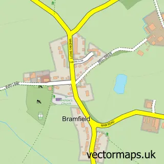
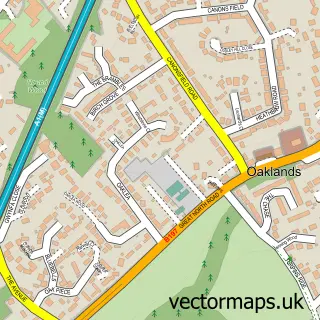
This Tewin street map is a detailed vector street map covering a 750m x 750m area. Select a larger area to create and download your own vector street map of Tewin.
The 750-metre map sample for Tewin covers 178 mapped buildings and approximately 8.3 km of road detail, of which 10 named roads are named. The immediate area includes 1 school, 1 pub and 10 MOT stations within 2 miles. The wider area around Tewin features 1 food and drink venue and 1 hotel. To create a larger or custom map of Tewin, the map builder lets you define your own coverage area and download editable SVG, PDF and PNG files.
Create a larger editable map of Tewin
Choose any area you need and generate a high-quality vector map instantly. Perfect for print, planning, design, business and personal use.

This Tewin street map in Hertfordshire is available as downloadable SVG, PDF and PNG map files, or as a printed map for planning, business, display, education, local information and design work. You can also create a larger custom map area using the map selector.
What this Tewin map sample shows
Tewin lies within Tewin Cp parish, part of Hertford Rural South ward in the East Hertfordshire District local authority area. The postcode geography for this area includes the AL postcode area, the AL6 postcode district and the AL6 0 postcode sector. Residents fall under the Nhs Hertfordshire And West Essex Integrated Care Board for NHS services.
Local features near Tewin
Within 2 milesAmenities and services in and around Tewin.
Administrative and postcode information for Tewin
The local authority covering Tewin is East Hertfordshire District, within the county of Hertfordshire. The settlement lies within Hertford Rural South ward and Tewin Cp civil parish. The AL6 postcode district and AL6 0 postcode sector serve the immediate area. NHS provision in the area is delivered through East And North Hertfordshire Nhs Trust.
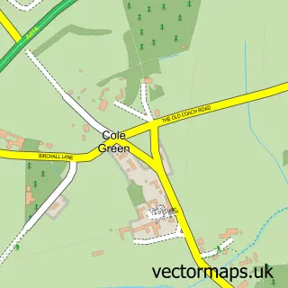
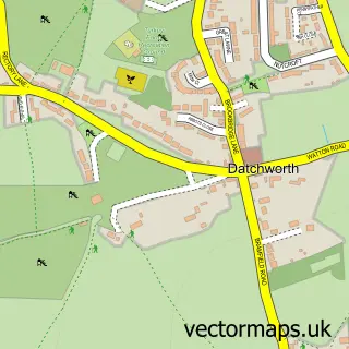
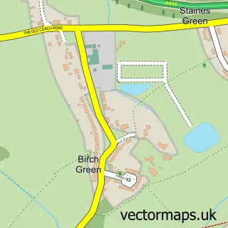
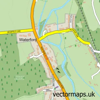
Nearby street map samples around Tewin

More street maps in Hertfordshire
750 metre map area coverage
Boundary, postcode and point of interest information for the 750m x 750m rectangle centred on this sample map.
Boundaries containing map centre
Constituency: North East Hertfordshire Co Const
County: Hertfordshire County
District: East Hertfordshire District
Icb: NHS Central East ICB
Parish: Tewin CP
Police Force: hertfordshire
Postcode District: AL6
Postcode Sector: AL6 0
Ward: Hertford Rural Ward
Nearby boundaries intersecting sample
No additional intersecting boundaries found.
Postcode coverage
POI category counts
Outdoor Gear: 2
Accommodation: 1
Auto Body Shop: 1
Beer Garden: 1
Community Center: 1
Convenience Store: 1
Electrician: 1
Electronics: 1
Elementary School: 1
Flowers And Gifts Shop: 1
Sample points of interest
- Tewin Village
- Austen Cox Vehicle Refinishing
- Rose and Crown
- Tewin Memorial Hall
- Tewin Stores and Cafe
- Aden Associates
- Mawersoft
- Tewin Cowper Primary School
- Alexandra's Florist
- Tewin Pavilion Community Interest Company
- Post Office-Tewin
- Smartsheds
Create a larger editable map of Tewin
This sample shows only a 750 metre area. To create a larger map of Tewin, use our map builder to choose your own coverage area, add titles and download editable SVG, PDF and PNG files.
Create a custom map of Tewin