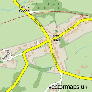
This Welwyn Garden City street map is a detailed vector street map covering a 750m x 750m area. Select a larger area to create and download your own vector street map of Welwyn Garden City.
The 750-metre map sample for Welwyn Garden City covers 168 mapped buildings and approximately 17.2 km of road detail, of which 26 named roads are named. The immediate area includes 1 railway station, 5 GP surgeries within 2 miles, 4 pubs and 19 MOT stations within 2 miles. The wider area around Welwyn Garden City features 2 tourism points of interest, 19 food and drink venues and 3 hotels. To create a larger or custom map of Welwyn Garden City, the map builder lets you define your own coverage area and download editable SVG, PDF and PNG files.
Create a larger editable map of Welwyn Garden City
Choose any area you need and generate a high-quality vector map instantly. Perfect for print, planning, design, business and personal use.

This Welwyn Garden City street map in Hertfordshire is available as downloadable SVG, PDF and PNG map files, or as a printed map for planning, business, display, education, local information and design work. You can also create a larger custom map area using the map selector.
What this Welwyn Garden City map sample shows
Welwyn Garden City lies within Hertfordshire County parish, part of Hollybush ward in the Welwyn Hatfield District (B) local authority area. The postcode geography for this area includes the AL postcode area, the AL7 postcode district and the AL7 3 postcode sector. Residents fall under the Nhs Hertfordshire And West Essex Integrated Care Board for NHS services.
Local features near Welwyn Garden City
Within 2 milesAmenities and services in and around Welwyn Garden City.
Administrative and postcode information for Welwyn Garden City
Welwyn Garden City lies within Hertfordshire County parish, part of Hollybush ward in the Welwyn Hatfield District (B) local authority area. The postcode geography for this area includes the AL postcode area, the AL7 postcode district and the AL7 3 postcode sector. Residents fall under the Nhs Hertfordshire And West Essex Integrated Care Board for NHS services.
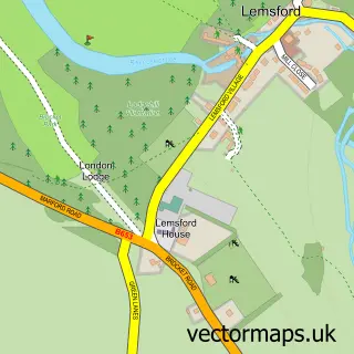
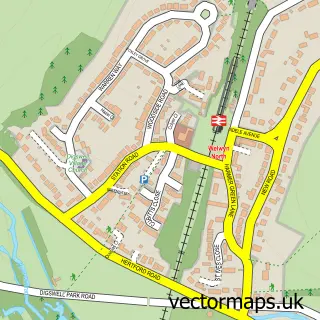
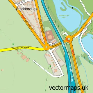
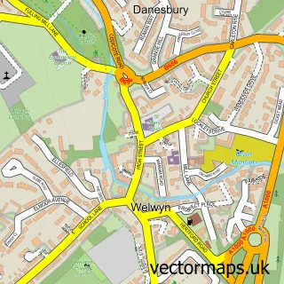
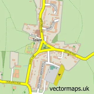
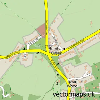
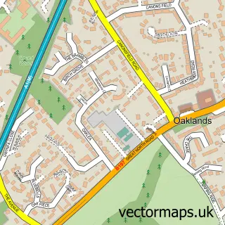
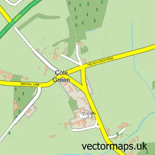
Nearby street map samples around Welwyn Garden City

More street maps in Hertfordshire
750 metre map area coverage
Boundary, postcode and point of interest information for the 750m x 750m rectangle centred on this sample map.
Boundaries containing map centre
Constituency: Welwyn Hatfield Co Const
County: Hertfordshire County
District: Welwyn Hatfield District (B)
Icb: NHS Central East ICB
Police Force: hertfordshire
Postcode District: AL8
Postcode Sector: AL8 6
Ward: Handside Ward
Nearby boundaries intersecting sample
Postcode District: AL7
Postcode Sector: AL7 1, AL7 3, AL8 7
Ward: Peartree Ward, Sherrards Ward
Postcode coverage
POI category counts
Employment Agencies: 19
Clothing Store: 15
Real Estate Agent: 14
Charity Organization: 11
Mobile Phone Store: 11
Hair Salon: 10
Bank Credit Union: 9
Library: 8
Coffee Shop: 7
Bakery: 6
Sample points of interest
- Julian Hobbs & Co
- Mintys Personal Training
- Chinese Acupunture
- DWM Financial Training
- ART Creative Partnership
- The Campaign Works
- Rack and Bone Smoke House and Grill
- St Francis of Assisi Church
- Isabel Hospice Shop
- Marie Curie Cancer Care
- Cargo Homeshop
- Hatfield Farmers & Craft Market
Create a larger editable map of Welwyn Garden City
This sample shows only a 750 metre area. To create a larger map of Welwyn Garden City, use our map builder to choose your own coverage area, add titles and download editable SVG, PDF and PNG files.
Create a custom map of Welwyn Garden City