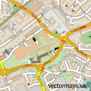
This Stanborough street map is a detailed vector street map covering a 750m x 750m area. Select a larger area to create and download your own vector street map of Stanborough.
The 750-metre map sample for Stanborough covers 89 mapped buildings and approximately 16.8 km of road detail, of which 6 named roads are named. The immediate area includes 7 GP surgeries within 2 miles and 19 MOT stations within 2 miles. The wider area around Stanborough features 1 campsite within 2 miles. To create a larger or custom map of Stanborough, the map builder lets you define your own coverage area and download editable SVG, PDF and PNG files.
Create a larger editable map of Stanborough
Choose any area you need and generate a high-quality vector map instantly. Perfect for print, planning, design, business and personal use.

This Stanborough street map in Hertfordshire is available as downloadable SVG, PDF and PNG map files, or as a printed map for planning, business, display, education, local information and design work. You can also create a larger custom map area using the map selector.
What this Stanborough map sample shows
Stanborough lies within Hatfield Cp parish, part of Hatfield Villages ward in the Welwyn Hatfield District (B) local authority area. The postcode geography for this area includes the AL postcode area, the AL8 postcode district and the AL8 7 postcode sector. Residents fall under the Nhs Hertfordshire And West Essex Integrated Care Board for NHS services.
Local features near Stanborough
Within 2 milesAmenities and services in and around Stanborough.
Administrative and postcode information for Stanborough
The local authority covering Stanborough is Welwyn Hatfield District (B), within the county of Hertfordshire. The settlement lies within Hatfield Villages ward and Hatfield Cp civil parish. The AL8 postcode district and AL8 7 postcode sector serve the immediate area. NHS provision in the area is delivered through East And North Hertfordshire Nhs Trust.
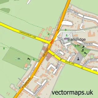
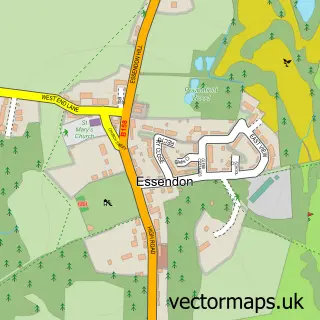
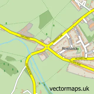
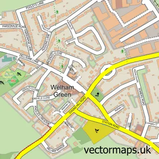
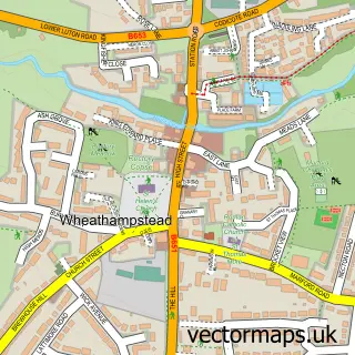
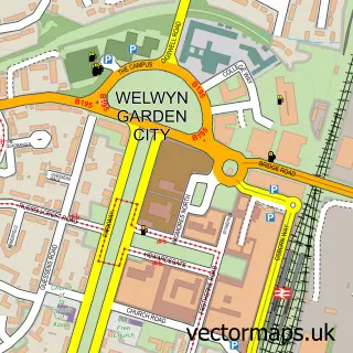
Nearby street map samples around Stanborough

More street maps in Hertfordshire
750 metre map area coverage
Boundary, postcode and point of interest information for the 750m x 750m rectangle centred on this sample map.
Boundaries containing map centre
Constituency: Welwyn Hatfield Co Const
County: Hertfordshire County
District: Welwyn Hatfield District (B)
Icb: NHS Central East ICB
Parish: Hatfield CP
Police Force: hertfordshire
Postcode District: AL8
Postcode Sector: AL8 7
Ward: Hatfield Villages Ward
Nearby boundaries intersecting sample
Postcode District: AL10, AL9
Postcode Sector: AL10 9, AL8 6, AL9 5
Ward: Handside Ward, Hatfield Central Ward
Postcode coverage
POI category counts
Car Dealer: 2
Contractor: 2
Audiovisual Equipment Rental: 1
Automotive: 1
Building Contractor: 1
Building Supply Store: 1
Carpenter: 1
Educational Services: 1
Health And Wellness Club: 1
Italian Restaurant: 1
Sample points of interest
- Waste King
- AMT Auto
- Pyramid Windows
- M & J Fencing
- Grange Aston Martin Hatfield
- Grange Jaguar Hatfield
- Michael Black Carpentry and Maintenance
- J Welch Builders
- M J Comer
- Altamira Training
- Stanborough Park Water Sports Centre
- Terranova Italian
Create a larger editable map of Stanborough
This sample shows only a 750 metre area. To create a larger map of Stanborough, use our map builder to choose your own coverage area, add titles and download editable SVG, PDF and PNG files.
Create a custom map of Stanborough