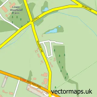
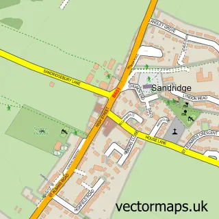
This Hatfield street map is a detailed vector street map covering a 750m x 750m area. Select a larger area to create and download your own vector street map of Hatfield.
The 750-metre map sample for Hatfield covers 357 mapped buildings and approximately 20.1 km of road detail, of which 46 named roads are named. The immediate area includes 3 GP surgeries, 1 pub and 12 MOT stations within 2 miles. The wider area around Hatfield features 1 tourism point of interest, 8 food and drink venues and 1 hotel. To create a larger or custom map of Hatfield, the map builder lets you define your own coverage area and download editable SVG, PDF and PNG files.
Create a larger editable map of Hatfield
Choose any area you need and generate a high-quality vector map instantly. Perfect for print, planning, design, business and personal use.

This Hatfield street map in Hertfordshire is available as downloadable SVG, PDF and PNG map files, or as a printed map for planning, business, display, education, local information and design work. You can also create a larger custom map area using the map selector.
What this Hatfield map sample shows
Hatfield lies within Hatfield Cp parish, part of Hatfield East ward in the Welwyn Hatfield District (B) local authority area. The postcode geography for this area includes the AL postcode area, the AL10 postcode district and the AL10 8 postcode sector. Residents fall under the Nhs Hertfordshire And West Essex Integrated Care Board for NHS services.
Local features near Hatfield
Within 2 milesAmenities and services in and around Hatfield.
Administrative and postcode information for Hatfield
The local authority covering Hatfield is Welwyn Hatfield District (B), within the county of Hertfordshire. The settlement lies within Hatfield East ward and Hatfield Cp civil parish. The AL10 postcode district and AL10 8 postcode sector serve the immediate area. NHS provision in the area is delivered through East And North Hertfordshire Nhs Trust.
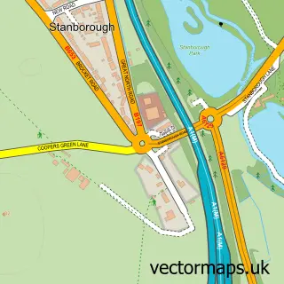
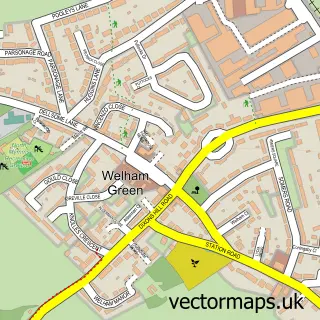
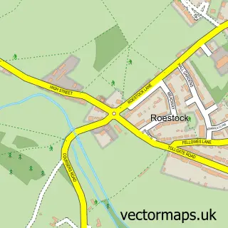
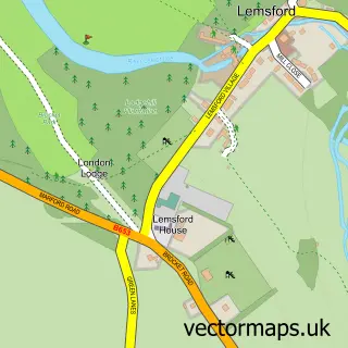
Nearby street map samples around Hatfield

More street maps in Hertfordshire
750 metre map area coverage
Boundary, postcode and point of interest information for the 750m x 750m rectangle centred on this sample map.
Boundaries containing map centre
Constituency: Welwyn Hatfield Co Const
County: Hertfordshire County
District: Welwyn Hatfield District (B)
Icb: NHS Central East ICB
Parish: Hatfield CP
Police Force: hertfordshire
Postcode District: AL10
Postcode Sector: AL10 0
Ward: Hatfield Central Ward
Nearby boundaries intersecting sample
Postcode Sector: AL10 8
Ward: Hatfield East Ward, Hatfield South West Ward
Postcode coverage
POI category counts
Beauty Salon: 9
Charity Organization: 8
Professional Services: 8
Indian Restaurant: 7
Banks: 6
Furniture Store: 6
Discount Store: 5
Employment Agencies: 5
Fast Food Restaurant: 5
Grocery Store: 5
Sample points of interest
- Down the Woods
- Spectrum Drug & Alcohol Service
- Incognito African Lounge
- PointOne African Restaurant and Bar
- Colgan Osteopath
- St Luke's Church, Hatfield.
- ASG Architecture and Construction
- Bank Machine
- HertSavers Credit Union
- The Hearing Practice. "Hertfordshire's Best Audiology Clinic 2019"
- Weston Auditorium, University Of Hertfordshire
- W H B Electrical Ltd.
Create a larger editable map of Hatfield
This sample shows only a 750 metre area. To create a larger map of Hatfield, use our map builder to choose your own coverage area, add titles and download editable SVG, PDF and PNG files.
Create a custom map of Hatfield