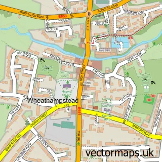
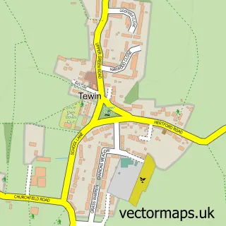
This Lemsford street map is a detailed vector street map covering a 750m x 750m area. Select a larger area to create and download your own vector street map of Lemsford.
The 750-metre map sample for Lemsford covers 58 mapped buildings and approximately 7.7 km of road detail, of which 5 named roads are named. The immediate area includes 1 school, 3 GP surgeries within 2 miles, 1 pub and 16 MOT stations within 2 miles. The wider area around Lemsford features 1 food and drink venue. To create a larger or custom map of Lemsford, the map builder lets you define your own coverage area and download editable SVG, PDF and PNG files.
Create a larger editable map of Lemsford
Choose any area you need and generate a high-quality vector map instantly. Perfect for print, planning, design, business and personal use.

This Lemsford street map in Hertfordshire is available as downloadable SVG, PDF and PNG map files, or as a printed map for planning, business, display, education, local information and design work. You can also create a larger custom map area using the map selector.
What this Lemsford map sample shows
Lemsford lies within Hatfield Cp parish, part of Hatfield Villages ward in the Welwyn Hatfield District (B) local authority area. The postcode geography for this area includes the AL postcode area, the AL8 postcode district and the AL8 7 postcode sector. Residents fall under the Nhs Hertfordshire And West Essex Integrated Care Board for NHS services.
Local features near Lemsford
Within 2 milesAmenities and services in and around Lemsford.
Administrative and postcode information for Lemsford
The local authority covering Lemsford is Welwyn Hatfield District (B), within the county of Hertfordshire. The settlement lies within Hatfield Villages ward and Hatfield Cp civil parish. The AL8 postcode district and AL8 7 postcode sector serve the immediate area. NHS provision in the area is delivered through East And North Hertfordshire Nhs Trust.
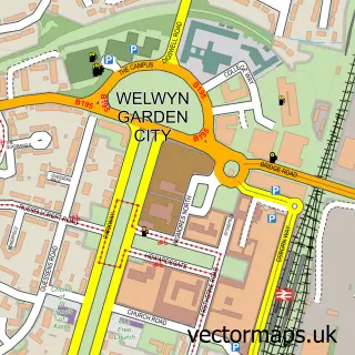
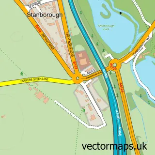
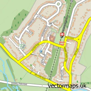
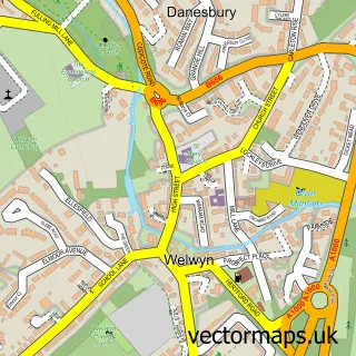
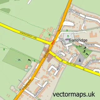
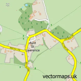
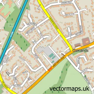
Nearby street map samples around Lemsford

More street maps in Hertfordshire
750 metre map area coverage
Boundary, postcode and point of interest information for the 750m x 750m rectangle centred on this sample map.
Boundaries containing map centre
Constituency: Welwyn Hatfield Co Const
County: Hertfordshire County
District: Welwyn Hatfield District (B)
Icb: NHS Central East ICB
Parish: Hatfield CP
Police Force: hertfordshire
Postcode District: AL8
Postcode Sector: AL8 7
Ward: Hatfield Villages Ward
Nearby boundaries intersecting sample
No additional intersecting boundaries found.
Postcode coverage
POI category counts
Accommodation: 1
Advertising Agency: 1
Archery Range: 1
Arts And Entertainment: 1
Bar: 1
Business Management Services: 1
Church Cathedral: 1
Community Center: 1
Elementary School: 1
Environmental Conservation Organization: 1
Sample points of interest
- Lemsford Village Fate
- G & G Design Team Creative Consultants
- The Howard Bowmen
- Lemsford
- The Sun Inn
- Alterra Business Consulting Ltd.
- St John's Church
- Lemsford Hall
- St John's C of E J M I School
- Lemsford Mill Control
- Innovative Trials
- Tashes 'n' Tails
Create a larger editable map of Lemsford
This sample shows only a 750 metre area. To create a larger map of Lemsford, use our map builder to choose your own coverage area, add titles and download editable SVG, PDF and PNG files.
Create a custom map of Lemsford