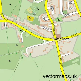
This Welwyn street map is a detailed vector street map covering a 750m x 750m area. Select a larger area to create and download your own vector street map of Welwyn.
The 750-metre map sample for Welwyn covers 382 mapped buildings and approximately 20.1 km of road detail, of which 42 named roads are named. The immediate area includes 1 GP surgery, 5 pubs and 1 MOT station, with 5 within 2 miles. The wider area around Welwyn features 1 tourism point of interest, 7 food and drink venues and 2 hotels. To create a larger or custom map of Welwyn, the map builder lets you define your own coverage area and download editable SVG, PDF and PNG files.
Create a larger editable map of Welwyn
Choose any area you need and generate a high-quality vector map instantly. Perfect for print, planning, design, business and personal use.

This Welwyn street map in Hertfordshire is available as downloadable SVG, PDF and PNG map files, or as a printed map for planning, business, display, education, local information and design work. You can also create a larger custom map area using the map selector.
What this Welwyn map sample shows
Welwyn lies within Welwyn Cp parish, part of Welwyn West ward in the Welwyn Hatfield District (B) local authority area. The postcode geography for this area includes the AL postcode area, the AL6 postcode district and the AL6 9 postcode sector. Residents fall under the Nhs Hertfordshire And West Essex Integrated Care Board for NHS services.
Local features near Welwyn
Within 2 milesAmenities and services in and around Welwyn.
Administrative and postcode information for Welwyn
The local authority covering Welwyn is Welwyn Hatfield District (B), within the county of Hertfordshire. The settlement lies within Welwyn West ward and Welwyn Cp civil parish. The AL6 postcode district and AL6 9 postcode sector serve the immediate area. NHS provision in the area is delivered through East And North Hertfordshire Nhs Trust.
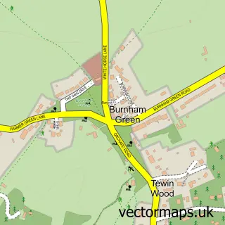
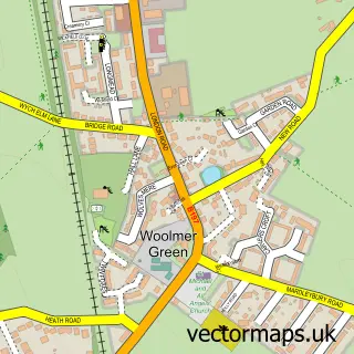
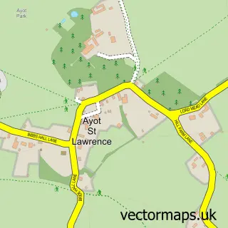
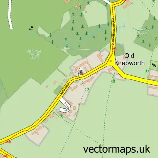
Nearby street map samples around Welwyn

More street maps in Hertfordshire
750 metre map area coverage
Boundary, postcode and point of interest information for the 750m x 750m rectangle centred on this sample map.
Boundaries containing map centre
Constituency: Welwyn Hatfield Co Const
County: Hertfordshire County
District: Welwyn Hatfield District (B)
Icb: NHS Central East ICB
Parish: Welwyn CP
Police Force: hertfordshire
Postcode District: AL6
Postcode Sector: AL6 9
Ward: Welwyn West Ward
Nearby boundaries intersecting sample
Postcode Sector: AL6 0
Postcode coverage
POI category counts
Pub: 5
Accountant: 4
Automotive Repair: 4
Beauty Salon: 4
Church Cathedral: 4
Hair Salon: 4
Financial Service: 3
Flowers And Gifts Shop: 3
Real Estate Agent: 3
Auto Loan Provider: 2
Sample points of interest
- CG Accounting
- Nicholsons
- R S Partnership Accountants
- RS Partnership
- Cherry Blossom Reiki Health & Well Being
- Welwyn skin & laser clinic
- St Mary's Welwyn
- AT Design
- V10 Detailing
- Adams Mortgages
- Private Finance
- Autoline
Create a larger editable map of Welwyn
This sample shows only a 750 metre area. To create a larger map of Welwyn, use our map builder to choose your own coverage area, add titles and download editable SVG, PDF and PNG files.
Create a custom map of Welwyn