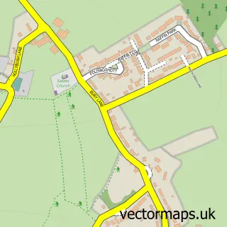
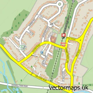
This Woolmer Green street map is a detailed vector street map covering a 750m x 750m area. Select a larger area to create and download your own vector street map of Woolmer Green.
The 750-metre map sample for Woolmer Green covers 307 mapped buildings and approximately 12.7 km of road detail, of which 24 named roads are named. The immediate area includes 1 school, 1 GP surgery within 2 miles, 3 pubs and 2 MOT stations within 2 miles. The wider area around Woolmer Green features 1 tourism point of interest and 4 food and drink venues. To create a larger or custom map of Woolmer Green, the map builder lets you define your own coverage area and download editable SVG, PDF and PNG files.
Create a larger editable map of Woolmer Green
Choose any area you need and generate a high-quality vector map instantly. Perfect for print, planning, design, business and personal use.

This Woolmer Green street map in Hertfordshire is available as downloadable SVG, PDF and PNG map files, or as a printed map for planning, business, display, education, local information and design work. You can also create a larger custom map area using the map selector.
What this Woolmer Green map sample shows
Woolmer Green lies within Woolmer Green Cp parish, part of Welwyn East ward in the Welwyn Hatfield District (B) local authority area. The postcode geography for this area includes the SG postcode area, the SG3 postcode district and the SG3 6 postcode sector. Residents fall under the Nhs Hertfordshire And West Essex Integrated Care Board for NHS services.
Local features near Woolmer Green
Within 2 milesAmenities and services in and around Woolmer Green.
Administrative and postcode information for Woolmer Green
Woolmer Green lies within Woolmer Green Cp parish, part of Welwyn East ward in the Welwyn Hatfield District (B) local authority area. The postcode geography for this area includes the SG postcode area, the SG3 postcode district and the SG3 6 postcode sector. Residents fall under the Nhs Hertfordshire And West Essex Integrated Care Board for NHS services.
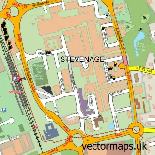
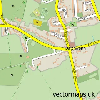
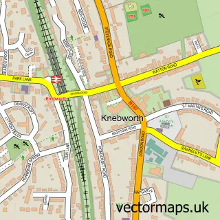
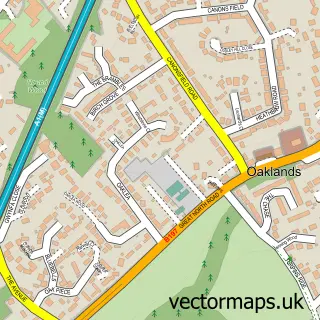
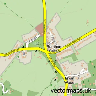
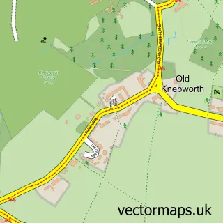
Nearby street map samples around Woolmer Green

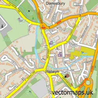
More street maps in Hertfordshire
750 metre map area coverage
Boundary, postcode and point of interest information for the 750m x 750m rectangle centred on this sample map.
Boundaries containing map centre
Constituency: Welwyn Hatfield Co Const
County: Hertfordshire County
District: Welwyn Hatfield District (B)
Icb: NHS Central East ICB
Parish: Woolmer Green CP
Police Force: hertfordshire
Postcode District: SG3
Postcode Sector: SG3 6
Ward: Welwyn East Ward
Nearby boundaries intersecting sample
Parish: Welwyn CP
Postcode District: AL6
Postcode Sector: AL6 0
Postcode coverage
POI category counts
Beauty Salon: 4
Chocolatier: 3
Pub: 3
Accountant: 2
Beauty And Spa: 2
Bridal Shop: 2
Electrician: 2
Gas Station: 2
Hair Salon: 2
Naturopathic Holistic: 2
Sample points of interest
- Accountants Luton East - The Financial Management Centre
- The Financial Management Centre
- Aerial Yoga With Ali
- Rehab Clinic
- St Michael's Woolmer Green
- Mardleybury Gallery
- Knebworth Care Home - Care UK
- Motability Scheme at Marshall Vauxhall Knebworth
- Insight Beauty
- The Golden Brush
- Allison Brown Beauty Therapy
- Natasha Carr Advanced Beauty
Create a larger editable map of Woolmer Green
This sample shows only a 750 metre area. To create a larger map of Woolmer Green, use our map builder to choose your own coverage area, add titles and download editable SVG, PDF and PNG files.
Create a custom map of Woolmer Green