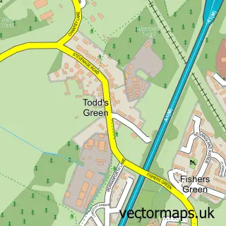
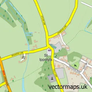
This Stevenage street map is a detailed vector street map covering a 750m x 750m area. Select a larger area to create and download your own vector street map of Stevenage.
The 750-metre map sample for Stevenage covers 89 mapped buildings and approximately 14.9 km of road detail, of which 21 named roads are named. The immediate area includes 1 railway station, 5 GP surgeries within 2 miles, 4 pubs and 20 MOT stations within 2 miles. The wider area around Stevenage features 3 tourism points of interest, 28 food and drink venues and 5 hotels. To create a larger or custom map of Stevenage, the map builder lets you define your own coverage area and download editable SVG, PDF and PNG files.
Create a larger editable map of Stevenage
Choose any area you need and generate a high-quality vector map instantly. Perfect for print, planning, design, business and personal use.

This Stevenage street map in Hertfordshire is available as downloadable SVG, PDF and PNG map files, or as a printed map for planning, business, display, education, local information and design work. You can also create a larger custom map area using the map selector.
What this Stevenage map sample shows
Stevenage lies within Hertfordshire County parish, part of Old Town ward in the Stevenage District (B) local authority area. The postcode geography for this area includes the SG postcode area, the SG1 postcode district and the SG1 2 postcode sector. Residents fall under the Nhs Hertfordshire And West Essex Integrated Care Board for NHS services.
Local features near Stevenage
Within 2 milesAmenities and services in and around Stevenage.
Administrative and postcode information for Stevenage
Stevenage lies within Hertfordshire County parish, part of Old Town ward in the Stevenage District (B) local authority area. The postcode geography for this area includes the SG postcode area, the SG1 postcode district and the SG1 2 postcode sector. Residents fall under the Nhs Hertfordshire And West Essex Integrated Care Board for NHS services.
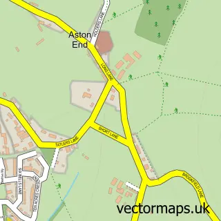
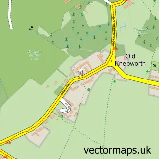
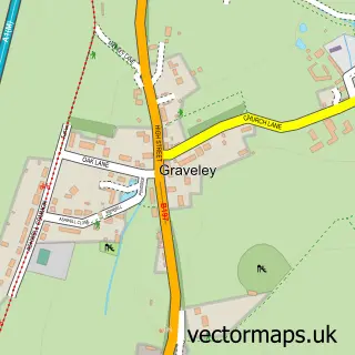
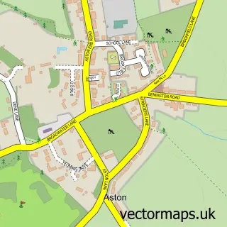
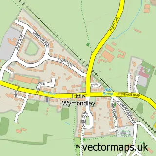
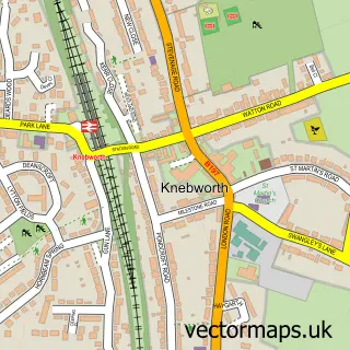
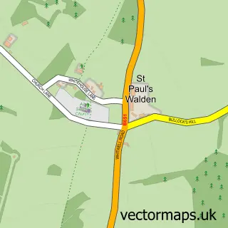
Nearby street map samples around Stevenage

More street maps in Hertfordshire
750 metre map area coverage
Boundary, postcode and point of interest information for the 750m x 750m rectangle centred on this sample map.
Boundaries containing map centre
Constituency: Stevenage Co Const
County: Hertfordshire County
District: Stevenage District (B)
Icb: NHS Central East ICB
Police Force: hertfordshire
Postcode District: SG1
Postcode Sector: SG1 1
Ward: Bedwell Ward
Nearby boundaries intersecting sample
Postcode Sector: SG1 2
Ward: Old Town Ward, Roebuck Ward
Postcode coverage
POI category counts
Clothing Store: 26
Jewelry Store: 14
Mobile Phone Store: 14
Bank Credit Union: 12
Employment Agencies: 11
Real Estate Agent: 11
Retail: 11
Cafe: 10
Fast Food Restaurant: 10
Hair Salon: 10
Sample points of interest
- Adam Parker Accountants
- Combat-UK Stevenage
- Santa Barbara Golf and Spa Resort, Golf del Sur, tenerife
- SPS Training Solutions
- Stevenage Town Centre Management Co. Ltd.
- Osteopathy First
- Stevenage Ambulance Station
- Stevenage Ambulance Station
- St Andrew and St George
- Garden House Hospice
- Hotpoint & Indesit - Domestic Appliance Repairs
- IJE Domestic Spares and Repairs
Create a larger editable map of Stevenage
This sample shows only a 750 metre area. To create a larger map of Stevenage, use our map builder to choose your own coverage area, add titles and download editable SVG, PDF and PNG files.
Create a custom map of Stevenage