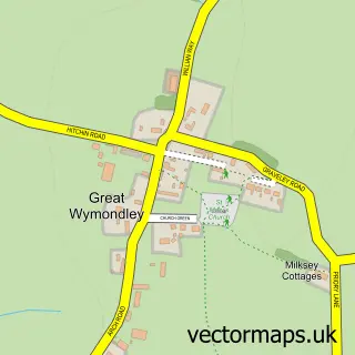
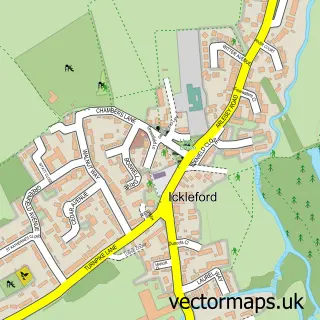
This Little Wymondley street map is a detailed vector street map covering a 750m x 750m area. Select a larger area to create and download your own vector street map of Little Wymondley.
The 750-metre map sample for Little Wymondley covers 208 mapped buildings and approximately 8.2 km of road detail, of which 11 named roads are named. The immediate area includes 1 school, 2 GP surgeries within 2 miles, 2 pubs and 1 MOT station, with 11 within 2 miles. The wider area around Little Wymondley features 3 food and drink venues and 1 hotel. To create a larger or custom map of Little Wymondley, the map builder lets you define your own coverage area and download editable SVG, PDF and PNG files.
Create a larger editable map of Little Wymondley
Choose any area you need and generate a high-quality vector map instantly. Perfect for print, planning, design, business and personal use.

This Little Wymondley street map in Hertfordshire is available as downloadable SVG, PDF and PNG map files, or as a printed map for planning, business, display, education, local information and design work. You can also create a larger custom map area using the map selector.
What this Little Wymondley map sample shows
Little Wymondley lies within Wymondley Cp parish, part of Chesfield ward in the North Hertfordshire District local authority area. The postcode geography for this area includes the SG postcode area, the SG4 postcode district and the SG4 7 postcode sector. Residents fall under the Nhs Hertfordshire And West Essex Integrated Care Board for NHS services.
Local features near Little Wymondley
Within 2 milesAmenities and services in and around Little Wymondley.
Administrative and postcode information for Little Wymondley
Little Wymondley lies within Wymondley Cp parish, part of Chesfield ward in the North Hertfordshire District local authority area. The postcode geography for this area includes the SG postcode area, the SG4 postcode district and the SG4 7 postcode sector. Residents fall under the Nhs Hertfordshire And West Essex Integrated Care Board for NHS services.
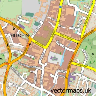
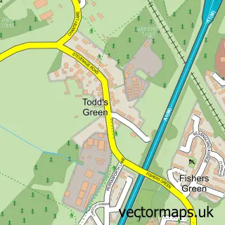
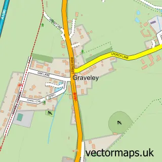
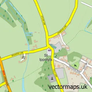
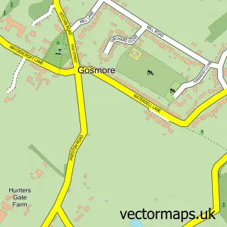
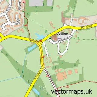
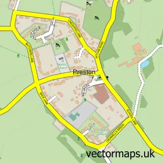
Nearby street map samples around Little Wymondley

More street maps in Hertfordshire
750 metre map area coverage
Boundary, postcode and point of interest information for the 750m x 750m rectangle centred on this sample map.
Boundaries containing map centre
Constituency: Hitchin Co Const
County: Hertfordshire County
District: North Hertfordshire District
Icb: NHS Central East ICB
Parish: Wymondley CP
Police Force: hertfordshire
Postcode District: SG4
Postcode Sector: SG4 7
Ward: Graveley, St. Ippolyts & Wymondley Ward
Nearby boundaries intersecting sample
No additional intersecting boundaries found.
Postcode coverage
POI category counts
Automotive Repair: 4
Flooring Contractors: 2
Funeral Services And Cemeteries: 2
Jewelry Store: 2
Professional Services: 2
Pub: 2
Tile Store: 2
Anglican Church: 1
Art Gallery: 1
Bakery: 1
Sample points of interest
- St Mary the Virgin
- Copper Beech Art Gallery
- B M Specialists
- GJ AUTO
- MAEs Autos
- Stevenage Road Garage
- All Things Sweet LTD
- Wymondley Baptist Church
- Little Luxe Pamper Parties
- Hitchin Modulars Ltd.
- Bear & Birdy
- Hertfordshire Car Sales
Create a larger editable map of Little Wymondley
This sample shows only a 750 metre area. To create a larger map of Little Wymondley, use our map builder to choose your own coverage area, add titles and download editable SVG, PDF and PNG files.
Create a custom map of Little Wymondley