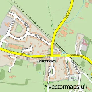
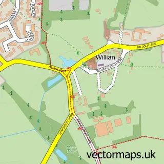
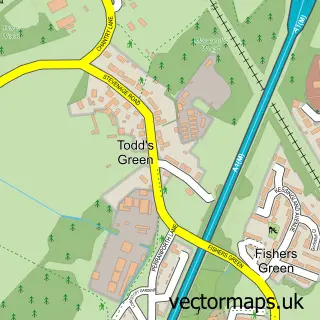
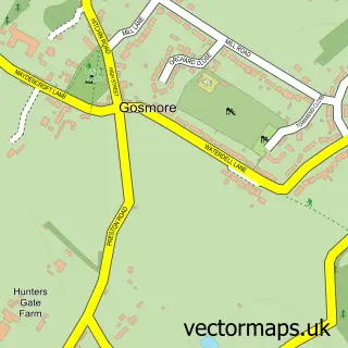
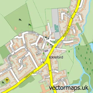
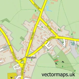
This Great Wymondley street map is a detailed vector street map covering a 750m x 750m area. Select a larger area to create and download your own vector street map of Great Wymondley.
The 750-metre map sample for Great Wymondley covers 72 mapped buildings and approximately 10.8 km of road detail, of which 7 named roads are named. The immediate area includes 4 GP surgeries within 2 miles, 1 pub and 12 MOT stations within 2 miles. The wider area around Great Wymondley features 1 tourism point of interest and 1 food and drink venue. To create a larger or custom map of Great Wymondley, the map builder lets you define your own coverage area and download editable SVG, PDF and PNG files.
Create a larger editable map of Great Wymondley
Choose any area you need and generate a high-quality vector map instantly. Perfect for print, planning, design, business and personal use.

This Great Wymondley street map in Hertfordshire is available as downloadable SVG, PDF and PNG map files, or as a printed map for planning, business, display, education, local information and design work. You can also create a larger custom map area using the map selector.
What this Great Wymondley map sample shows
Great Wymondley lies within Wymondley Cp parish, part of Chesfield ward in the North Hertfordshire District local authority area. The postcode geography for this area includes the SG postcode area, the SG4 postcode district and the SG4 7 postcode sector. Residents fall under the Nhs Hertfordshire And West Essex Integrated Care Board for NHS services.
Local features near Great Wymondley
Within 2 milesAmenities and services in and around Great Wymondley.
Administrative and postcode information for Great Wymondley
The local authority covering Great Wymondley is North Hertfordshire District, within the county of Hertfordshire. The settlement lies within Chesfield ward and Wymondley Cp civil parish. The SG4 postcode district and SG4 7 postcode sector serve the immediate area. NHS provision in the area is delivered through East And North Hertfordshire Nhs Trust.
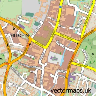
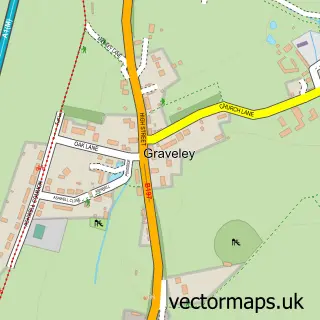
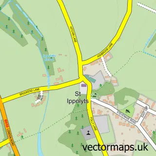
Nearby street map samples around Great Wymondley

More street maps in Hertfordshire
750 metre map area coverage
Boundary, postcode and point of interest information for the 750m x 750m rectangle centred on this sample map.
Boundaries containing map centre
Constituency: Hitchin Co Const
County: Hertfordshire County
District: North Hertfordshire District
Icb: NHS Central East ICB
Parish: Wymondley CP
Police Force: hertfordshire
Postcode District: SG4
Postcode Sector: SG4 7
Ward: Graveley, St. Ippolyts & Wymondley Ward
Nearby boundaries intersecting sample
Postcode District: SG6
Postcode Sector: SG4 9, SG6 2
Postcode coverage
POI category counts
Employment Agencies: 2
Advertising Agency: 1
Anglican Church: 1
Arts And Crafts: 1
Attractions And Activities: 1
Church Cathedral: 1
Cremation Services: 1
Marketing Agency: 1
Pet Services: 1
Pet Sitting: 1
Sample points of interest
- Wing Lee Sourcing
- St Mary the Virgin
- Ragged Life Rag Rug Workshops
- Wymondley Community Garden
- St Mary's Church
- Absent Friends Pet Crematorium
- Careers Concern
- Learning Otherwise
- Wing Lee Creative
- Absent Friends Pet Crematorium
- Greenfields Cattery
- The Green Man
Create a larger editable map of Great Wymondley
This sample shows only a 750 metre area. To create a larger map of Great Wymondley, use our map builder to choose your own coverage area, add titles and download editable SVG, PDF and PNG files.
Create a custom map of Great Wymondley