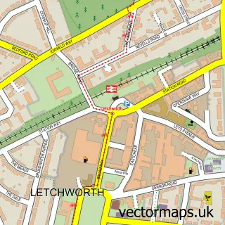
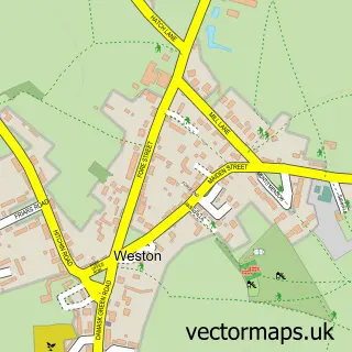
This Willian street map is a detailed vector street map covering a 750m x 750m area. Select a larger area to create and download your own vector street map of Willian.
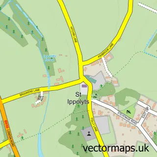
The 750-metre map sample for Willian covers 110 mapped buildings and approximately 10.5 km of road detail, of which 10 named roads are named. The immediate area includes 3 GP surgeries within 2 miles, 2 pubs and 20 MOT stations within 2 miles. The wider area around Willian features 1 tourism point of interest and 2 food and drink venues. To create a larger or custom map of Willian, the map builder lets you define your own coverage area and download editable SVG, PDF and PNG files.
Create a larger editable map of Willian
Choose any area you need and generate a high-quality vector map instantly. Perfect for print, planning, design, business and personal use.

This Willian street map in Hertfordshire is available as downloadable SVG, PDF and PNG map files, or as a printed map for planning, business, display, education, local information and design work. You can also create a larger custom map area using the map selector.
What this Willian map sample shows
Willian lies within Hertfordshire County parish, part of Letchworth South East ward in the North Hertfordshire District local authority area. The postcode geography for this area includes the SG postcode area, the SG6 postcode district and the SG6 2 postcode sector. Residents fall under the Nhs Hertfordshire And West Essex Integrated Care Board for NHS services.
Local features near Willian
Within 2 milesAmenities and services in and around Willian.
Administrative and postcode information for Willian
The local authority covering Willian is North Hertfordshire District, within the county of Hertfordshire. The settlement lies within Letchworth South East ward and Hertfordshire County civil parish. The SG6 postcode district and SG6 2 postcode sector serve the immediate area. NHS provision in the area is delivered through East And North Hertfordshire Nhs Trust.
Nearby street map samples around Willian

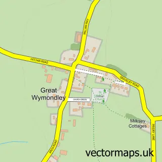
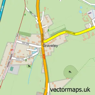
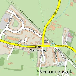
More street maps in Hertfordshire
750 metre map area coverage
Boundary, postcode and point of interest information for the 750m x 750m rectangle centred on this sample map.
Boundaries containing map centre
Constituency: North East Hertfordshire Co Const
County: Hertfordshire County
District: North Hertfordshire District
Icb: NHS Central East ICB
Police Force: hertfordshire
Postcode District: SG6
Postcode Sector: SG6 2
Ward: Letchworth South West Ward
Nearby boundaries intersecting sample
Postcode Sector: SG6 3
Postcode coverage
POI category counts
Post Office: 2
Pub: 2
Alternative Medicine: 1
Anglican Church: 1
Arts And Entertainment: 1
Environmental Conservation And Ecological Organizations: 1
Gastropub: 1
Nursery And Gardening: 1
Park: 1
Retirement Home: 1
Sample points of interest
- Thomas Pedersen Osteopathic Clinic
- All Saints Church
- Anglian Country Inns
- Maydencroft Ltd. Letchworth
- The Fox at Willian
- Love Tillys
- Willian Arboretum
- Willian Post Office
- Willian Post Office
- The Fox at Willian
- Three Horseshoes Pub, Willian
- Guysfield Residential Home
Create a larger editable map of Willian
This sample shows only a 750 metre area. To create a larger map of Willian, use our map builder to choose your own coverage area, add titles and download editable SVG, PDF and PNG files.
Create a custom map of Willian