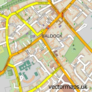
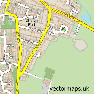
This Norton street map is a detailed vector street map covering a 750m x 750m area. Select a larger area to create and download your own vector street map of Norton.
The 750-metre map sample for Norton covers 167 mapped buildings and approximately 9.1 km of road detail, of which 10 named roads are named. The immediate area includes 1 school, 5 GP surgeries within 2 miles, 2 pubs and 20 MOT stations within 2 miles. The wider area around Norton features 1 tourism point of interest and 3 food and drink venues. To create a larger or custom map of Norton, the map builder lets you define your own coverage area and download editable SVG, PDF and PNG files.
Create a larger editable map of Norton
Choose any area you need and generate a high-quality vector map instantly. Perfect for print, planning, design, business and personal use.

This Norton street map in Hertfordshire is available as downloadable SVG, PDF and PNG map files, or as a printed map for planning, business, display, education, local information and design work. You can also create a larger custom map area using the map selector.
What this Norton map sample shows
Norton lies within Hertfordshire County parish, part of Letchworth Grange ward in the North Hertfordshire District local authority area. The postcode geography for this area includes the SG postcode area, the SG6 postcode district and the SG6 1 postcode sector. Residents fall under the Nhs Hertfordshire And West Essex Integrated Care Board for NHS services.
Local features near Norton
Within 2 milesAmenities and services in and around Norton.
Administrative and postcode information for Norton
Norton lies within Hertfordshire County parish, part of Letchworth Grange ward in the North Hertfordshire District local authority area. The postcode geography for this area includes the SG postcode area, the SG6 postcode district and the SG6 1 postcode sector. Residents fall under the Nhs Hertfordshire And West Essex Integrated Care Board for NHS services.
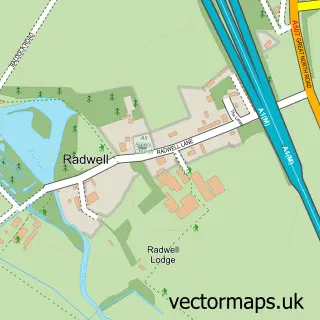
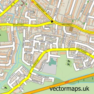
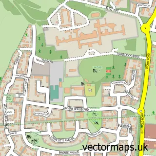
Nearby street map samples around Norton

More street maps in Hertfordshire
750 metre map area coverage
Boundary, postcode and point of interest information for the 750m x 750m rectangle centred on this sample map.
Boundaries containing map centre
Constituency: North East Hertfordshire Co Const
County: Hertfordshire County
District: North Hertfordshire District
Icb: NHS Central East ICB
Police Force: hertfordshire
Postcode District: SG6
Postcode Sector: SG6 1
Ward: Letchworth Norton Ward
Nearby boundaries intersecting sample
Postcode Sector: SG6 4
Ward: Letchworth Grange Ward
Postcode coverage
POI category counts
Assisted Living Facility: 3
Elementary School: 2
Post Office: 2
Pub: 2
Anglican Church: 1
Automotive Repair: 1
Baptist Church: 1
Business Management Services: 1
Church Cathedral: 1
Coffee Shop: 1
Sample points of interest
- St Nicholas Church - Parish of Norton
- MHA Trembaths - Nursing & Dementia Care Home
- Norton Hall Farm
- Trembaths
- Motor Magic
- Kings Community Church
- TLC Ltd. - Total Location Confidence
- St Nicholas Church
- Bean Valley Coffee
- Dance-beat
- Peter A Wright Electrical
- Norton St Nicholas C of E Primary School
Create a larger editable map of Norton
This sample shows only a 750 metre area. To create a larger map of Norton, use our map builder to choose your own coverage area, add titles and download editable SVG, PDF and PNG files.
Create a custom map of Norton