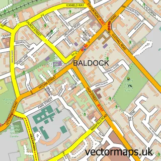
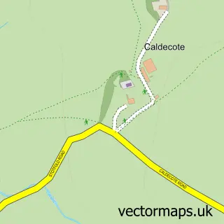
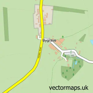
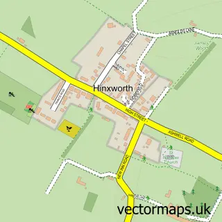
This Radwell street map is a detailed vector street map covering a 750m x 750m area. Select a larger area to create and download your own vector street map of Radwell.
The 750-metre map sample for Radwell covers 55 mapped buildings and approximately 15.3 km of road detail, of which 5 named roads are named. The immediate area includes 3 GP surgeries within 2 miles and 18 MOT stations within 2 miles. The wider area around Radwell features 2 tourism points of interest. To create a larger or custom map of Radwell, the map builder lets you define your own coverage area and download editable SVG, PDF and PNG files.
Create a larger editable map of Radwell
Choose any area you need and generate a high-quality vector map instantly. Perfect for print, planning, design, business and personal use.

This Radwell street map in Hertfordshire is available as downloadable SVG, PDF and PNG map files, or as a printed map for planning, business, display, education, local information and design work. You can also create a larger custom map area using the map selector.
What this Radwell map sample shows
Radwell lies within Radwell Cp parish, part of Arbury ward in the North Hertfordshire District local authority area. The postcode geography for this area includes the SG postcode area, the SG7 postcode district and the SG7 5 postcode sector. Residents fall under the Nhs Hertfordshire And West Essex Integrated Care Board for NHS services.
Local features near Radwell
Within 2 milesAmenities and services in and around Radwell.
Administrative and postcode information for Radwell
Radwell lies within Radwell Cp parish, part of Arbury ward in the North Hertfordshire District local authority area. The postcode geography for this area includes the SG postcode area, the SG7 postcode district and the SG7 5 postcode sector. Residents fall under the Nhs Hertfordshire And West Essex Integrated Care Board for NHS services.
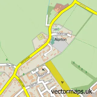
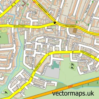
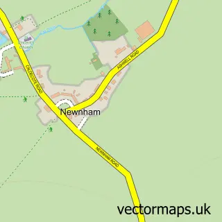
Nearby street map samples around Radwell

More street maps in Hertfordshire
750 metre map area coverage
Boundary, postcode and point of interest information for the 750m x 750m rectangle centred on this sample map.
Boundaries containing map centre
Constituency: North East Hertfordshire Co Const
County: Hertfordshire County
District: North Hertfordshire District
Icb: NHS Central East ICB
Parish: Radwell CP
Police Force: hertfordshire
Postcode District: SG7
Postcode Sector: SG7 5
Ward: Arbury Ward
Nearby boundaries intersecting sample
Constituency: Hitchin Co Const
District: Central Bedfordshire
Parish: Stotfold CP
Police Force: bedfordshire
Postcode District: SG5, SG6
Postcode Sector: SG5 4, SG6 1
Ward: Letchworth Norton Ward, Stotfold Ward
Postcode coverage
POI category counts
Campground: 2
Automotive Repair: 1
Bridal Shop: 1
Building Supply Store: 1
Church Cathedral: 1
Computer Store: 1
Convenience Store: 1
Interior Design: 1
Structure And Geography: 1
Sample points of interest
- Splash N Shine
- Lydian Palm Court Trio
- Perfect Artificial Lawns
- Radwell Lake campsite
- Radwell Mill
- All Saints
- Sigma Office Ltd.
- Marks and Spencer
- Pearce Seven Ltd
- Radwell Duck Pond
Create a larger editable map of Radwell
This sample shows only a 750 metre area. To create a larger map of Radwell, use our map builder to choose your own coverage area, add titles and download editable SVG, PDF and PNG files.
Create a custom map of Radwell