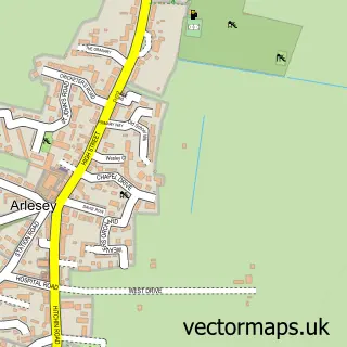
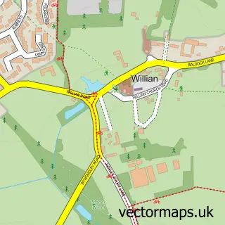
This Fairfield street map is a detailed vector street map covering a 750m x 750m area. Select a larger area to create and download your own vector street map of Fairfield.
The 750-metre map sample for Fairfield covers 425 mapped buildings and approximately 16.4 km of road detail, of which 27 named roads are named. The immediate area includes 1 school, 4 GP surgeries within 2 miles and 14 MOT stations within 2 miles. The wider area around Fairfield features 1 tourism point of interest and 3 food and drink venues. To create a larger or custom map of Fairfield, the map builder lets you define your own coverage area and download editable SVG, PDF and PNG files.
Create a larger editable map of Fairfield
Choose any area you need and generate a high-quality vector map instantly. Perfect for print, planning, design, business and personal use.

This Fairfield street map in Bedfordshire is available as downloadable SVG, PDF and PNG map files, or as a printed map for planning, business, display, education, local information and design work. You can also create a larger custom map area using the map selector.
What this Fairfield map sample shows
Fairfield lies within Fairfield Cp parish, part of Stotfold And Langford ward in the Central Bedfordshire local authority area. The postcode geography for this area includes the SG postcode area, the SG5 postcode district and the SG5 4 postcode sector. Residents fall under the Nhs Bedfordshire, Luton And Milton Keynes Integrated Care Board for NHS services.
Local features near Fairfield
Within 2 milesAmenities and services in and around Fairfield.
Administrative and postcode information for Fairfield
Fairfield lies within Fairfield Cp parish, part of Stotfold And Langford ward in the Central Bedfordshire local authority area. The postcode geography for this area includes the SG postcode area, the SG5 postcode district and the SG5 4 postcode sector. Residents fall under the Nhs Bedfordshire, Luton And Milton Keynes Integrated Care Board for NHS services.
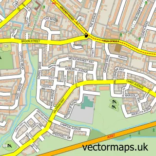
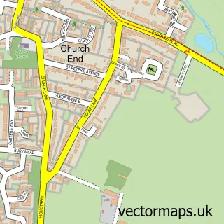
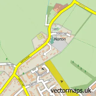
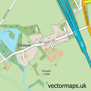
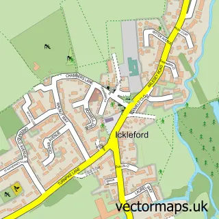
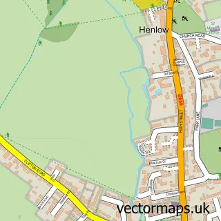
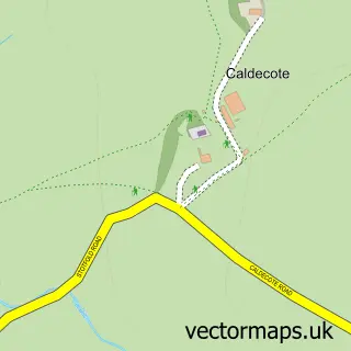
Nearby street map samples around Fairfield

More street maps in Bedfordshire
750 metre map area coverage
Boundary, postcode and point of interest information for the 750m x 750m rectangle centred on this sample map.
Boundaries containing map centre
Constituency: Hitchin Co Const
District: Central Bedfordshire
Icb: NHS Central East ICB
Parish: Fairfield CP
Police Force: bedfordshire
Postcode District: SG5
Postcode Sector: SG5 4
Ward: Arlesey & Fairfield Ward
Nearby boundaries intersecting sample
Constituency: North East Hertfordshire Co Const
County: Hertfordshire County
District: North Hertfordshire District
Parish: Arlesey CP
Police Force: hertfordshire
Postcode District: SG15, SG6
Postcode Sector: SG15 6, SG6 4
Ward: Letchworth Wilbury Ward
Postcode coverage
POI category counts
Arts And Entertainment: 2
Community Center: 2
Courier And Delivery Services: 2
Doctor: 2
Driving School: 2
Electrician: 2
Alternative Medicine: 1
Arts And Crafts: 1
B2b Jewelers: 1
Bank Credit Union: 1
Sample points of interest
- Ian Murton Hypnotherapy
- Chings Beads & Jewellery
- PianoFactor Duelling Pianos & Wedding Bands
- Pianofactor
- Kendall De La Verne
- Tesco Bank
- Nu u secrets facial aesthetics
- elemis
- All Round (UK) Building & Construction Ltd.
- Windermere Electrical
- The Pavilion Cafe - Fairfield
- Carpets by George
Create a larger editable map of Fairfield
This sample shows only a 750 metre area. To create a larger map of Fairfield, use our map builder to choose your own coverage area, add titles and download editable SVG, PDF and PNG files.
Create a custom map of Fairfield