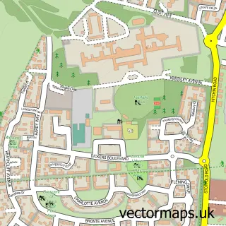
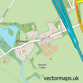
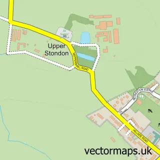
This Arlesey street map is a detailed vector street map covering a 750m x 750m area. Select a larger area to create and download your own vector street map of Arlesey.
The 750-metre map sample for Arlesey covers 266 mapped buildings and approximately 7.9 km of road detail, of which 19 named roads are named. The immediate area includes 1 GP surgery within 2 miles, 1 pub and 1 MOT station, with 5 within 2 miles. The wider area around Arlesey features 1 tourism point of interest, 2 food and drink venues and 1 campsite within 2 miles. To create a larger or custom map of Arlesey, the map builder lets you define your own coverage area and download editable SVG, PDF and PNG files.
Create a larger editable map of Arlesey
Choose any area you need and generate a high-quality vector map instantly. Perfect for print, planning, design, business and personal use.

This Arlesey street map in Bedfordshire is available as downloadable SVG, PDF and PNG map files, or as a printed map for planning, business, display, education, local information and design work. You can also create a larger custom map area using the map selector.
What this Arlesey map sample shows
Arlesey lies within Arlesey Cp parish, part of Arlesey ward in the Central Bedfordshire local authority area. The postcode geography for this area includes the SG postcode area, the SG15 postcode district and the SG15 6 postcode sector. Residents fall under the Nhs Bedfordshire, Luton And Milton Keynes Integrated Care Board for NHS services.
Local features near Arlesey
Within 2 milesAmenities and services in and around Arlesey.
Administrative and postcode information for Arlesey
The local authority covering Arlesey is Central Bedfordshire, within the county of Bedfordshire. The settlement lies within Arlesey ward and Arlesey Cp civil parish. The SG15 postcode district and SG15 6 postcode sector serve the immediate area. NHS provision in the area is delivered through East And North Hertfordshire Nhs Trust.
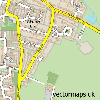
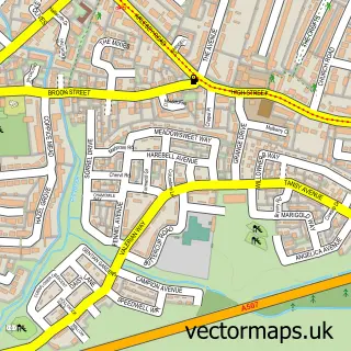
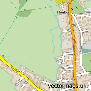
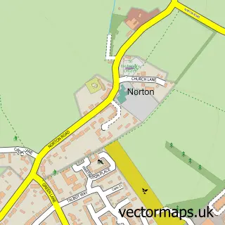
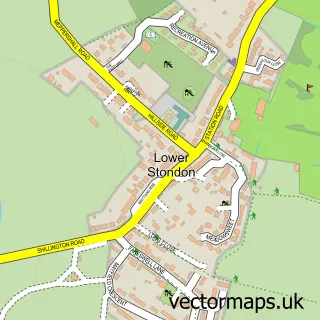
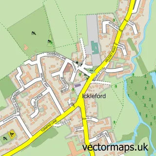
Nearby street map samples around Arlesey

More street maps in Bedfordshire
750 metre map area coverage
Boundary, postcode and point of interest information for the 750m x 750m rectangle centred on this sample map.
Boundaries containing map centre
Constituency: Hitchin Co Const
District: Central Bedfordshire
Icb: NHS Central East ICB
Parish: Arlesey CP
Police Force: bedfordshire
Postcode District: SG15
Postcode Sector: SG15 6
Ward: Arlesey & Fairfield Ward
Nearby boundaries intersecting sample
No additional intersecting boundaries found.
Postcode coverage
POI category counts
Automotive Repair: 5
Carpenter: 2
Chinese Restaurant: 2
Convenience Store: 2
Landscape Architect: 2
Music School: 2
Sports Club And League: 2
Tattoo And Piercing: 2
Advertising Agency: 1
Alternative Medicine: 1
Sample points of interest
- Fling Promotions Ltd
- Herts Hypnobirthing
- Helen Wynne
- Voyage Care
- Arlesey Garage
- Bosch Car Service - ASG Arlesey
- Bourne Bros Motors
- D Martini Mtr Repairs
- Fairfield Mot & Repair Centre
- Chris's Barbers
- My Butterfly Kiss
- Cala Homes | Arlesey Grange
Create a larger editable map of Arlesey
This sample shows only a 750 metre area. To create a larger map of Arlesey, use our map builder to choose your own coverage area, add titles and download editable SVG, PDF and PNG files.
Create a custom map of Arlesey