This Hitchin street map is a detailed vector street map covering a 750m x 750m area. Select a larger area to create and download your own vector street map of Hitchin.
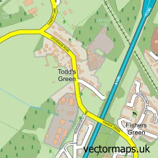
The 750-metre map sample for Hitchin covers 275 mapped buildings and approximately 18.4 km of road detail, of which 43 named roads are named. The immediate area includes 1 school, 3 GP surgeries, with 4 within 2 miles, 17 pubs and 3 MOT stations, with 12 within 2 miles. The wider area around Hitchin features 6 tourism points of interest, 54 food and drink venues and 5 hotels. To create a larger or custom map of Hitchin, the map builder lets you define your own coverage area and download editable SVG, PDF and PNG files.
Create a larger editable map of Hitchin
Choose any area you need and generate a high-quality vector map instantly. Perfect for print, planning, design, business and personal use.

This Hitchin street map in Hertfordshire is available as downloadable SVG, PDF and PNG map files, or as a printed map for planning, business, display, education, local information and design work. You can also create a larger custom map area using the map selector.
What this Hitchin map sample shows
Hitchin lies within Hertfordshire County parish, part of Hitchin Priory ward in the North Hertfordshire District local authority area. The postcode geography for this area includes the SG postcode area, the SG5 postcode district and the SG5 2 postcode sector. Residents fall under the Nhs Hertfordshire And West Essex Integrated Care Board for NHS services.
Local features near Hitchin
Within 2 milesAmenities and services in and around Hitchin.
Administrative and postcode information for Hitchin
Hitchin lies within Hertfordshire County parish, part of Hitchin Priory ward in the North Hertfordshire District local authority area. The postcode geography for this area includes the SG postcode area, the SG5 postcode district and the SG5 2 postcode sector. Residents fall under the Nhs Hertfordshire And West Essex Integrated Care Board for NHS services.
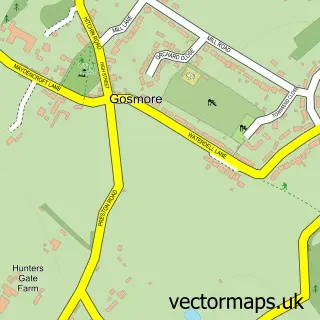
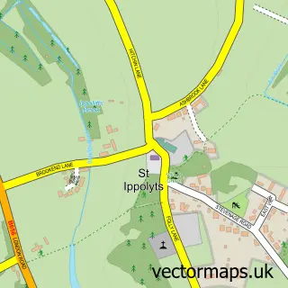
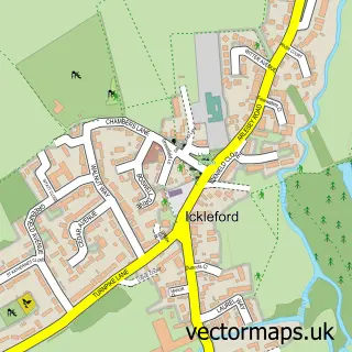
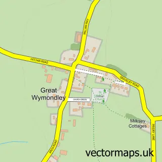
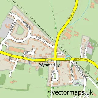
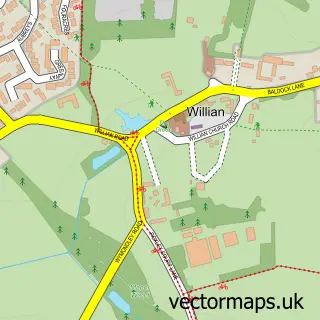
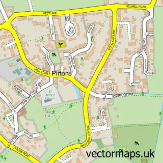
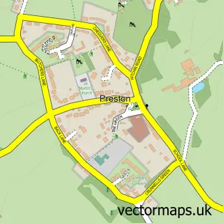
Nearby street map samples around Hitchin

More street maps in Hertfordshire
750 metre map area coverage
Boundary, postcode and point of interest information for the 750m x 750m rectangle centred on this sample map.
Boundaries containing map centre
Constituency: Hitchin Co Const
County: Hertfordshire County
District: North Hertfordshire District
Icb: NHS Central East ICB
Police Force: hertfordshire
Postcode District: SG5
Postcode Sector: SG5 1
Ward: Hitchin Priory Ward
Nearby boundaries intersecting sample
Postcode District: SG4
Postcode Sector: SG4 9, SG5 2
Ward: Hitchin Bearton Ward, Hitchin Highbury Ward
Postcode coverage
POI category counts
Clothing Store: 29
Hair Salon: 25
Professional Services: 23
Real Estate Agent: 21
Financial Service: 18
Pub: 17
Cafe: 16
Advertising Agency: 15
Beauty And Spa: 15
Barber: 14
Sample points of interest
- 3E's Accountants
- Bradshaw Johnson Chartered Accountants
- D & E Accountancy Ltd.
- D and E Accountancy
- Goodridge Accountants
- IT All Figures Ltd
- Acufit Health & Wellness
- Helen Fitch-Hunter Acupuncture
- Hitchin Acupuncture
- River Run Wellness
- Bold & Noble
- Buchanan Clarke
Create a larger editable map of Hitchin
This sample shows only a 750 metre area. To create a larger map of Hitchin, use our map builder to choose your own coverage area, add titles and download editable SVG, PDF and PNG files.
Create a custom map of Hitchin