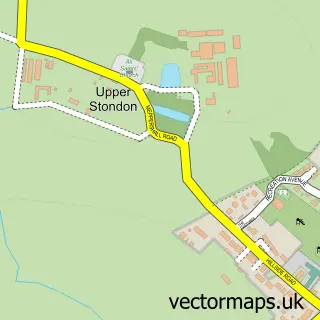
This Pirton street map is a detailed vector street map covering a 750m x 750m area. Select a larger area to create and download your own vector street map of Pirton.
The 750-metre map sample for Pirton covers 396 mapped buildings and approximately 13.6 km of road detail, of which 28 named roads are named. The immediate area includes 1 school, 3 pubs and 2 MOT stations within 2 miles. The wider area around Pirton features 1 tourism point of interest and 4 food and drink venues. To create a larger or custom map of Pirton, the map builder lets you define your own coverage area and download editable SVG, PDF and PNG files.
Create a larger editable map of Pirton
Choose any area you need and generate a high-quality vector map instantly. Perfect for print, planning, design, business and personal use.

This Pirton street map in Hertfordshire is available as downloadable SVG, PDF and PNG map files, or as a printed map for planning, business, display, education, local information and design work. You can also create a larger custom map area using the map selector.
What this Pirton map sample shows
Pirton lies within Pirton Cp parish, part of Hitchwood, Offa And Hoo ward in the North Hertfordshire District local authority area. The postcode geography for this area includes the SG postcode area, the SG5 postcode district and the SG5 3 postcode sector. Residents fall under the Nhs Hertfordshire And West Essex Integrated Care Board for NHS services.
Local features near Pirton
Within 2 milesAmenities and services in and around Pirton.
Administrative and postcode information for Pirton
The local authority covering Pirton is North Hertfordshire District, within the county of Hertfordshire. The settlement lies within Hitchwood, Offa And Hoo ward and Pirton Cp civil parish. The SG5 postcode district and SG5 3 postcode sector serve the immediate area. NHS provision in the area is delivered through East And North Hertfordshire Nhs Trust.
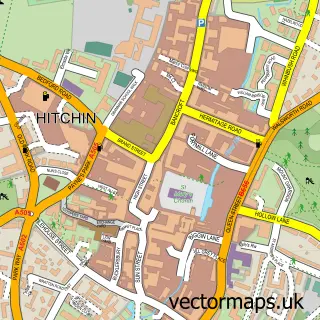
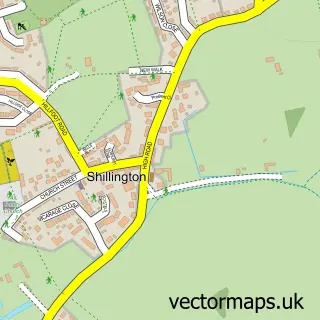
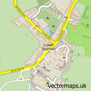
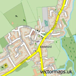
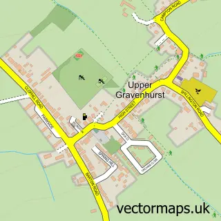
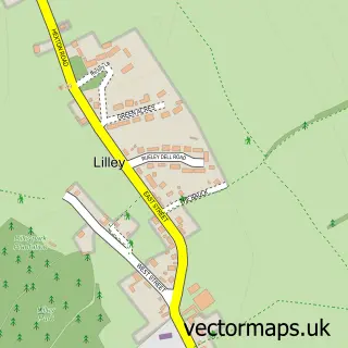
Nearby street map samples around Pirton

More street maps in Hertfordshire
750 metre map area coverage
Boundary, postcode and point of interest information for the 750m x 750m rectangle centred on this sample map.
Boundaries containing map centre
Constituency: Hitchin Co Const
County: Hertfordshire County
District: North Hertfordshire District
Icb: NHS Central East ICB
Parish: Pirton CP
Police Force: hertfordshire
Postcode District: SG5
Postcode Sector: SG5 3
Ward: Offa Ward
Nearby boundaries intersecting sample
No additional intersecting boundaries found.
Postcode coverage
POI category counts
Photography Store And Services: 3
Pub: 3
Church Cathedral: 2
Newspaper And Magazines Store: 2
Professional Services: 2
Real Estate Agent: 2
Sports Club And League: 2
Active Life: 1
Alternative Medicine: 1
Automotive Repair: 1
Sample points of interest
- Pirton Summer Fair
- Hitchin Holistic Hypnotherapy
- MSK Remapping Ltd
- Athena Beauty
- Seneca Services Ltd.
- Pirton Chapel Tearoom
- St Mary's Church, Pirton
- The Methodist Church, Pirton
- Lemonadehr
- Pirton Village Stores
- Pirton Cricket Club
- Elite Electrical Contracting
Create a larger editable map of Pirton
This sample shows only a 750 metre area. To create a larger map of Pirton, use our map builder to choose your own coverage area, add titles and download editable SVG, PDF and PNG files.
Create a custom map of Pirton