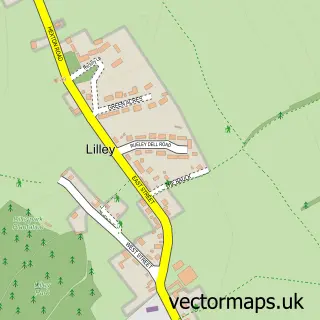
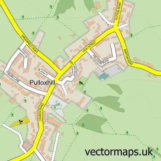
This Hexton street map is a detailed vector street map covering a 750m x 750m area. Select a larger area to create and download your own vector street map of Hexton.
The 750-metre map sample for Hexton covers 39 mapped buildings and approximately 11.1 km of road detail, of which 2 named roads are named. The immediate area includes 1 GP surgery within 2 miles. To create a larger or custom map of Hexton, the map builder lets you define your own coverage area and download editable SVG, PDF and PNG files.
Create a larger editable map of Hexton
Choose any area you need and generate a high-quality vector map instantly. Perfect for print, planning, design, business and personal use.

This Hexton street map in Hertfordshire is available as downloadable SVG, PDF and PNG map files, or as a printed map for planning, business, display, education, local information and design work. You can also create a larger custom map area using the map selector.
What this Hexton map sample shows
Hexton lies within Hexton Cp parish, part of Hitchwood, Offa And Hoo ward in the North Hertfordshire District local authority area. The postcode geography for this area includes the SG postcode area, the SG5 postcode district and the SG5 3 postcode sector. Residents fall under the Nhs Hertfordshire And West Essex Integrated Care Board for NHS services.
Local features near Hexton
Within 2 milesAmenities and services in and around Hexton.
Administrative and postcode information for Hexton
Hexton lies within Hexton Cp parish, part of Hitchwood, Offa And Hoo ward in the North Hertfordshire District local authority area. The postcode geography for this area includes the SG postcode area, the SG5 postcode district and the SG5 3 postcode sector. Residents fall under the Nhs Hertfordshire And West Essex Integrated Care Board for NHS services.
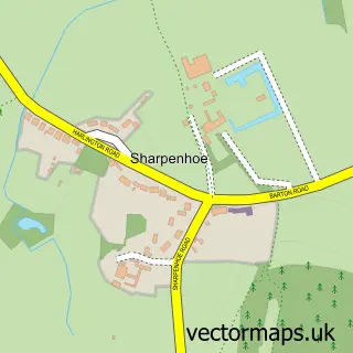
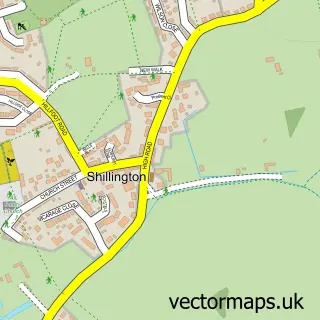
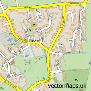
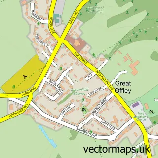
Nearby street map samples around Hexton

More street maps in Hertfordshire
750 metre map area coverage
Boundary, postcode and point of interest information for the 750m x 750m rectangle centred on this sample map.
Boundaries containing map centre
Constituency: Hitchin Co Const
County: Hertfordshire County
District: North Hertfordshire District
Icb: NHS Central East ICB
Parish: Hexton CP
Police Force: hertfordshire
Postcode District: SG5
Postcode Sector: SG5 3
Ward: Offa Ward
Nearby boundaries intersecting sample
No additional intersecting boundaries found.
Postcode coverage
POI category counts
Advertising Agency: 1
Anglican Church: 1
Auto Upholstery: 1
Beauty And Spa: 1
Event Planning: 1
Flowers And Gifts Shop: 1
Plumbing: 1
School: 1
Shopping: 1
Storage Facility: 1
Sample points of interest
- Fall Off the Wall
- St Faith
- P J Coles Upholstery
- Unique SKIN UK
- Hexton Manor Weddings
- Country Matters
- Micromeritics
- Hexton School
- United Oddsocks
- Three Counties Moves
- The Lavender Tea Room
- The Dower House, Hexton
Create a larger editable map of Hexton
This sample shows only a 750 metre area. To create a larger map of Hexton, use our map builder to choose your own coverage area, add titles and download editable SVG, PDF and PNG files.
Create a custom map of Hexton