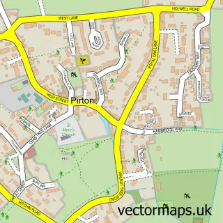
This Great Offley street map is a detailed vector street map covering a 750m x 750m area. Select a larger area to create and download your own vector street map of Great Offley.
The 750-metre map sample for Great Offley covers 222 mapped buildings and approximately 14.7 km of road detail, of which 16 named roads are named. The immediate area includes 1 school and 4 pubs. The wider area around Great Offley features 1 tourism point of interest, 4 food and drink venues and 1 hotel. To create a larger or custom map of Great Offley, the map builder lets you define your own coverage area and download editable SVG, PDF and PNG files.
Create a larger editable map of Great Offley
Choose any area you need and generate a high-quality vector map instantly. Perfect for print, planning, design, business and personal use.

This Great Offley street map in Hertfordshire is available as downloadable SVG, PDF and PNG map files, or as a printed map for planning, business, display, education, local information and design work. You can also create a larger custom map area using the map selector.
What this Great Offley map sample shows
Great Offley lies within Offley Cp parish, part of Hitchwood, Offa And Hoo ward in the North Hertfordshire District local authority area. The postcode geography for this area includes the SG postcode area, the SG5 postcode district and the SG5 3 postcode sector. Residents fall under the Nhs Hertfordshire And West Essex Integrated Care Board for NHS services.
Local features near Great Offley
Within 2 milesAmenities and services in and around Great Offley.
Administrative and postcode information for Great Offley
The local authority covering Great Offley is North Hertfordshire District, within the county of Hertfordshire. The settlement lies within Hitchwood, Offa And Hoo ward and Offley Cp civil parish. The SG5 postcode district and SG5 3 postcode sector serve the immediate area. NHS provision in the area is delivered through East And North Hertfordshire Nhs Trust.
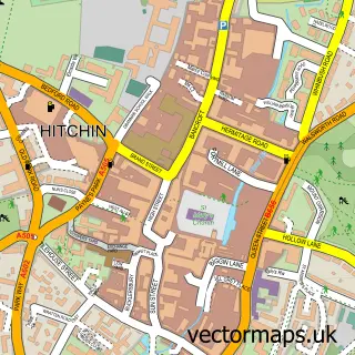
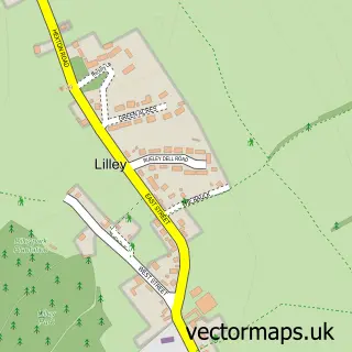
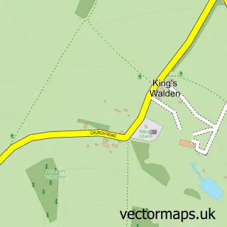
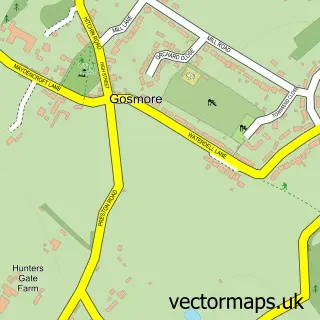
Nearby street map samples around Great Offley


More street maps in Hertfordshire
750 metre map area coverage
Boundary, postcode and point of interest information for the 750m x 750m rectangle centred on this sample map.
Boundaries containing map centre
Constituency: Hitchin Co Const
County: Hertfordshire County
District: North Hertfordshire District
Icb: NHS Central East ICB
Parish: Offley CP
Police Force: hertfordshire
Postcode District: SG5
Postcode Sector: SG5 3
Ward: Offa Ward
Nearby boundaries intersecting sample
No additional intersecting boundaries found.
Postcode coverage
POI category counts
Pub: 4
Contractor: 2
Elementary School: 2
Anglican Church: 1
Arts And Entertainment: 1
Bar: 1
Convenience Store: 1
Cremation Services: 1
Event Planning: 1
Fence And Gate Sales Service: 1
Sample points of interest
- St Mary Magdalene
- Chef & Brewer Pub - Green Man
- Chef & Brewer
- ARJ Construction
- Italia Ceramics
- Offley Stores
- Offley Memorials Ltd.
- Offley Endowed Primary School
- Reading Fairy Classes North Herts
- All Occasions Weddings at Almshoe Bury Meadows
- The Wild Edge Fencing Co.
- Alistair Miller Business Management Services Limited
Create a larger editable map of Great Offley
This sample shows only a 750 metre area. To create a larger map of Great Offley, use our map builder to choose your own coverage area, add titles and download editable SVG, PDF and PNG files.
Create a custom map of Great Offley