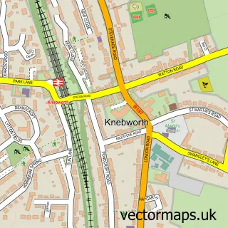
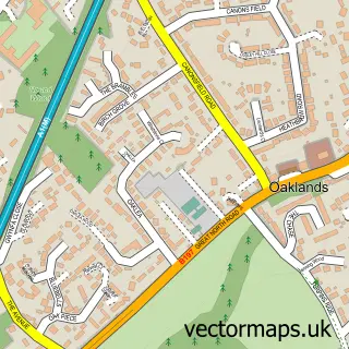
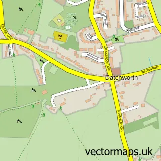
This Old Knebworth street map is a detailed vector street map covering a 750m x 750m area. Select a larger area to create and download your own vector street map of Old Knebworth.
The 750-metre map sample for Old Knebworth covers 75 mapped buildings and approximately 5.9 km of road detail, of which 5 named roads are named. The immediate area includes 1 GP surgery within 2 miles, 1 pub and 12 MOT stations within 2 miles. The wider area around Old Knebworth features 1 food and drink venue. To create a larger or custom map of Old Knebworth, the map builder lets you define your own coverage area and download editable SVG, PDF and PNG files.
Create a larger editable map of Old Knebworth
Choose any area you need and generate a high-quality vector map instantly. Perfect for print, planning, design, business and personal use.

This Old Knebworth street map in Hertfordshire is available as downloadable SVG, PDF and PNG map files, or as a printed map for planning, business, display, education, local information and design work. You can also create a larger custom map area using the map selector.
What this Old Knebworth map sample shows
Old Knebworth lies within Knebworth Cp parish, part of Knebworth ward in the North Hertfordshire District local authority area. The postcode geography for this area includes the SG postcode area, the SG3 postcode district and the SG3 6 postcode sector. Residents fall under the Nhs Hertfordshire And West Essex Integrated Care Board for NHS services.
Local features near Old Knebworth
Within 2 milesAmenities and services in and around Old Knebworth.
Administrative and postcode information for Old Knebworth
Old Knebworth lies within Knebworth Cp parish, part of Knebworth ward in the North Hertfordshire District local authority area. The postcode geography for this area includes the SG postcode area, the SG3 postcode district and the SG3 6 postcode sector. Residents fall under the Nhs Hertfordshire And West Essex Integrated Care Board for NHS services.
Nearby street map samples around Old Knebworth

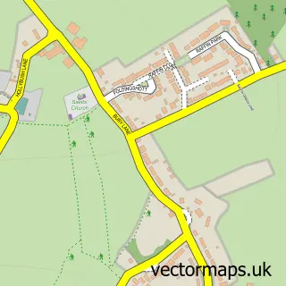
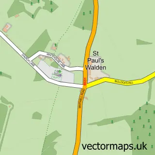
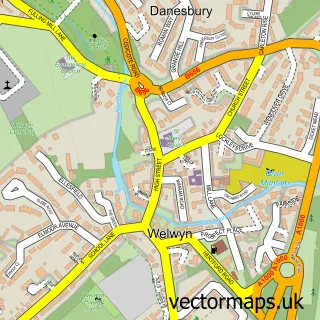
More street maps in Hertfordshire
750 metre map area coverage
Boundary, postcode and point of interest information for the 750m x 750m rectangle centred on this sample map.
Boundaries containing map centre
Constituency: Stevenage Co Const
County: Hertfordshire County
District: North Hertfordshire District
Icb: NHS Central East ICB
Parish: Knebworth CP
Police Force: hertfordshire
Postcode District: SG3
Postcode Sector: SG3 6
Ward: Knebworth Ward
Nearby boundaries intersecting sample
Parish: Codicote CP
Postcode coverage
POI category counts
Caterer: 1
Church Cathedral: 1
Cricket Ground: 1
Employment Agencies: 1
Food Beverage Service Distribution: 1
Human Resource Services: 1
Media Agency: 1
Music Production: 1
Printing Equipment And Supply: 1
Pub: 1
Sample points of interest
- Danny Hill Chef
- St Mary & St Thomas of Canterbury
- Knebworth Park Cricket Club
- Oaktree Consulting
- Danny Hill Private Chef
- Winterbourne Recruitment
- Hertbeat FM
- One2One Recording Ltd
- Beehive Engraving
- The Lytton Arms
- Trinity Church Knebworth
Create a larger editable map of Old Knebworth
This sample shows only a 750 metre area. To create a larger map of Old Knebworth, use our map builder to choose your own coverage area, add titles and download editable SVG, PDF and PNG files.
Create a custom map of Old Knebworth