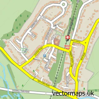
This Codicote street map is a detailed vector street map covering a 750m x 750m area. Select a larger area to create and download your own vector street map of Codicote.
The 750-metre map sample for Codicote covers 465 mapped buildings and approximately 13.7 km of road detail, of which 28 named roads are named. The immediate area includes 1 school, 1 GP surgery within 2 miles, 5 pubs and 1 MOT station, with 4 within 2 miles. The wider area around Codicote features 1 tourism point of interest and 7 food and drink venues. To create a larger or custom map of Codicote, the map builder lets you define your own coverage area and download editable SVG, PDF and PNG files.
Create a larger editable map of Codicote
Choose any area you need and generate a high-quality vector map instantly. Perfect for print, planning, design, business and personal use.

This Codicote street map in Hertfordshire is available as downloadable SVG, PDF and PNG map files, or as a printed map for planning, business, display, education, local information and design work. You can also create a larger custom map area using the map selector.
What this Codicote map sample shows
Codicote lies within Codicote Cp parish, part of Codicote ward in the North Hertfordshire District local authority area. The postcode geography for this area includes the SG postcode area, the SG4 postcode district and the SG4 8 postcode sector. Residents fall under the Nhs Hertfordshire And West Essex Integrated Care Board for NHS services.
Local features near Codicote
Within 2 milesAmenities and services in and around Codicote.
Administrative and postcode information for Codicote
Codicote lies within Codicote Cp parish, part of Codicote ward in the North Hertfordshire District local authority area. The postcode geography for this area includes the SG postcode area, the SG4 postcode district and the SG4 8 postcode sector. Residents fall under the Nhs Hertfordshire And West Essex Integrated Care Board for NHS services.
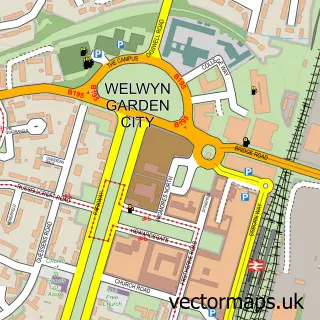
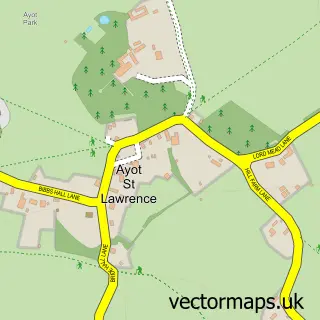
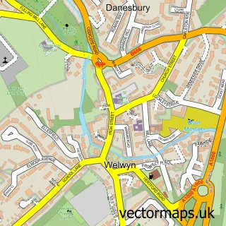
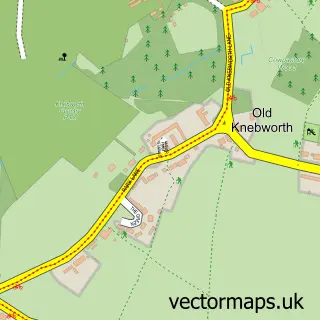
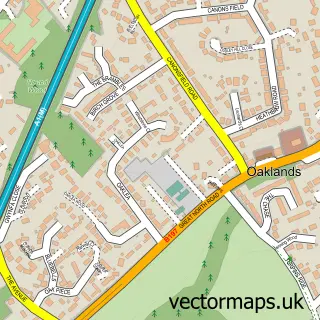
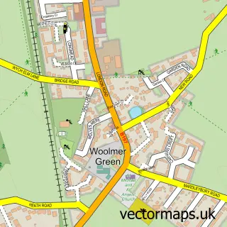
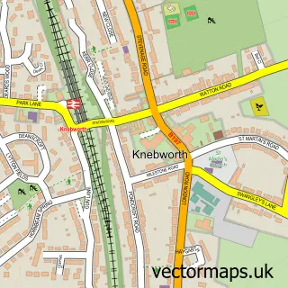
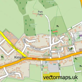
Nearby street map samples around Codicote

More street maps in Hertfordshire
750 metre map area coverage
Boundary, postcode and point of interest information for the 750m x 750m rectangle centred on this sample map.
Boundaries containing map centre
Constituency: Stevenage Co Const
County: Hertfordshire County
District: North Hertfordshire District
Icb: NHS Central East ICB
Parish: Codicote CP
Police Force: hertfordshire
Postcode District: SG4
Postcode Sector: SG4 8
Ward: Codicote & Kimpton Ward
Nearby boundaries intersecting sample
No additional intersecting boundaries found.
Postcode coverage
POI category counts
Professional Services: 6
Pub: 5
Beauty Salon: 4
Community Services Non Profits: 3
Convenience Store: 3
Auto Electrical Repair: 2
Automotive Repair: 2
Building Supply Store: 2
Flowers And Gifts Shop: 2
Food Delivery Service: 2
Sample points of interest
- Dragonfly Digital
- Bury Sheltered Housing
- Integrated Facilities Systems Ltd.
- K J Electrical Services
- Codicote Motors
- David Thomas Garages
- Backalley barbers
- Beauty Studio
- Beth's Body Beauty
- Inked Beauty
- TVB Permanent Cosmetics & Beauty
- The Cabin -hairdressing
Create a larger editable map of Codicote
This sample shows only a 750 metre area. To create a larger map of Codicote, use our map builder to choose your own coverage area, add titles and download editable SVG, PDF and PNG files.
Create a custom map of Codicote