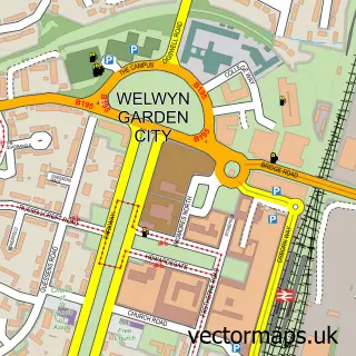
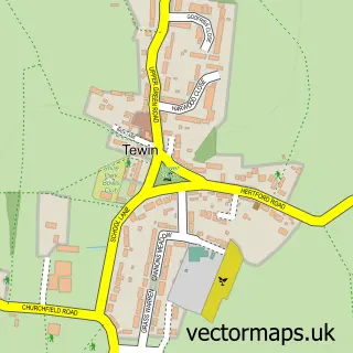
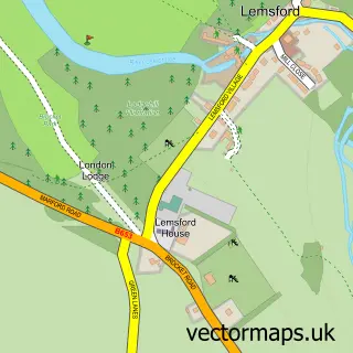
This Digswell street map is a detailed vector street map covering a 750m x 750m area. Select a larger area to create and download your own vector street map of Digswell.
The 750-metre map sample for Digswell covers 315 mapped buildings and approximately 12.3 km of road detail, of which 16 named roads are named. The immediate area includes 1 railway station, 3 GP surgeries within 2 miles, 1 pub and 14 MOT stations within 2 miles. The wider area around Digswell features 1 tourism point of interest and 3 food and drink venues. To create a larger or custom map of Digswell, the map builder lets you define your own coverage area and download editable SVG, PDF and PNG files.
Create a larger editable map of Digswell
Choose any area you need and generate a high-quality vector map instantly. Perfect for print, planning, design, business and personal use.

This Digswell street map in Hertfordshire is available as downloadable SVG, PDF and PNG map files, or as a printed map for planning, business, display, education, local information and design work. You can also create a larger custom map area using the map selector.
What this Digswell map sample shows
Digswell lies within Welwyn Cp parish, part of Welwyn East ward in the Welwyn Hatfield District (B) local authority area. The postcode geography for this area includes the AL postcode area, the AL6 postcode district and the AL6 0 postcode sector. Residents fall under the Nhs Hertfordshire And West Essex Integrated Care Board for NHS services.
Local features near Digswell
Within 2 milesAmenities and services in and around Digswell.
Administrative and postcode information for Digswell
Digswell lies within Welwyn Cp parish, part of Welwyn East ward in the Welwyn Hatfield District (B) local authority area. The postcode geography for this area includes the AL postcode area, the AL6 postcode district and the AL6 0 postcode sector. Residents fall under the Nhs Hertfordshire And West Essex Integrated Care Board for NHS services.
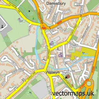
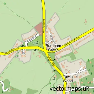
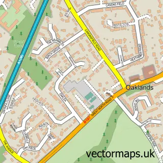
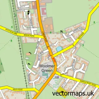
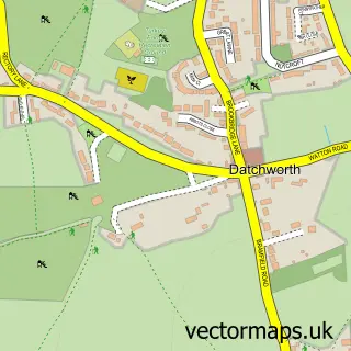
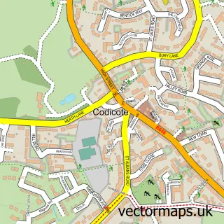
Nearby street map samples around Digswell

More street maps in Hertfordshire
750 metre map area coverage
Boundary, postcode and point of interest information for the 750m x 750m rectangle centred on this sample map.
Boundaries containing map centre
Constituency: Welwyn Hatfield Co Const
County: Hertfordshire County
District: Welwyn Hatfield District (B)
Icb: NHS Central East ICB
Parish: Welwyn CP
Police Force: hertfordshire
Postcode District: AL6
Postcode Sector: AL6 0
Ward: Welwyn East Ward
Nearby boundaries intersecting sample
No additional intersecting boundaries found.
Postcode coverage
POI category counts
Train Station: 3
Hair Salon: 2
Package Locker: 2
Pet Services: 2
Anglican Church: 1
Bathroom Remodeling: 1
Business Consulting: 1
Butcher Shop: 1
Carpet Store: 1
Caterer: 1
Sample points of interest
- Digswell Village Church
- Digswell Bathrooms
- First 4 Safety
- The Digswell Butcher
- Anne Ball Flooring and Interiors
- 3 Valleys Chefs
- Deli Stop
- Digswell Village Hall
- SnaggingConsultant
- Lifeforce Reiki & Holistic Clinic
- Mimram Valley Eco Laundry
- Archer Fitlife
Create a larger editable map of Digswell
This sample shows only a 750 metre area. To create a larger map of Digswell, use our map builder to choose your own coverage area, add titles and download editable SVG, PDF and PNG files.
Create a custom map of Digswell