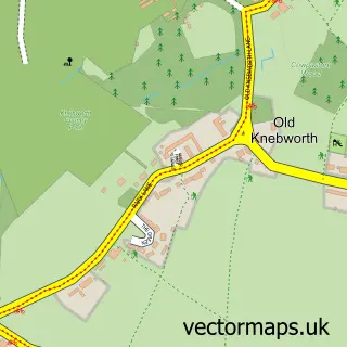
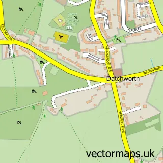
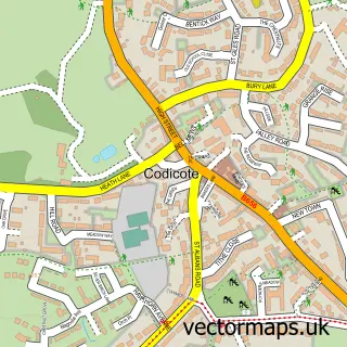
This Knebworth street map is a detailed vector street map covering a 750m x 750m area. Select a larger area to create and download your own vector street map of Knebworth.
The 750-metre map sample for Knebworth covers 417 mapped buildings and approximately 14.8 km of road detail, of which 29 named roads are named. The immediate area includes 1 school, 1 railway station, 1 GP surgery, with 2 within 2 miles and 1 pub among other local services. The wider area around Knebworth features 4 tourism points of interest, 6 food and drink venues and 1 hotel. To create a larger or custom map of Knebworth, the map builder lets you define your own coverage area and download editable SVG, PDF and PNG files.
Create a larger editable map of Knebworth
Choose any area you need and generate a high-quality vector map instantly. Perfect for print, planning, design, business and personal use.

This Knebworth street map in Hertfordshire is available as downloadable SVG, PDF and PNG map files, or as a printed map for planning, business, display, education, local information and design work. You can also create a larger custom map area using the map selector.
What this Knebworth map sample shows
Knebworth lies within Knebworth Cp parish, part of Knebworth ward in the North Hertfordshire District local authority area. The postcode geography for this area includes the SG postcode area, the SG3 postcode district and the SG3 6 postcode sector. Residents fall under the Nhs Hertfordshire And West Essex Integrated Care Board for NHS services.
Local features near Knebworth
Within 2 milesAmenities and services in and around Knebworth.
Administrative and postcode information for Knebworth
The local authority covering Knebworth is North Hertfordshire District, within the county of Hertfordshire. The settlement lies within Knebworth ward and Knebworth Cp civil parish. The SG3 postcode district and SG3 6 postcode sector serve the immediate area. NHS provision in the area is delivered through East And North Hertfordshire Nhs Trust.
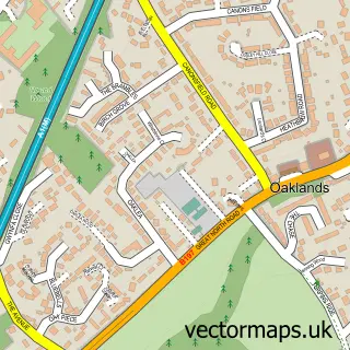
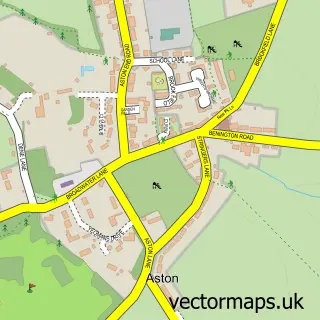
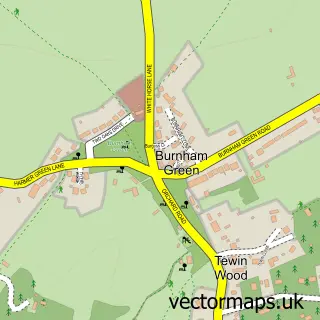
Nearby street map samples around Knebworth

More street maps in Hertfordshire
750 metre map area coverage
Boundary, postcode and point of interest information for the 750m x 750m rectangle centred on this sample map.
Boundaries containing map centre
Constituency: Stevenage Co Const
County: Hertfordshire County
District: North Hertfordshire District
Icb: NHS Central East ICB
Parish: Knebworth CP
Police Force: hertfordshire
Postcode District: SG3
Postcode Sector: SG3 6
Ward: Knebworth Ward
Nearby boundaries intersecting sample
No additional intersecting boundaries found.
Postcode coverage
POI category counts
Beauty Salon: 6
Doctor: 6
Arts And Crafts: 5
Bakery: 4
Contractor: 4
Real Estate Agent: 4
Retail: 4
Automotive: 3
Cafe: 3
Dentist: 3
Sample points of interest
- 1-2-1 TaxAccountants
- Art Room
- Knebworth Tennis Club
- St Martin's Church
- Art Van Go
- Homebeads The Shop Ltd.
- Homebeads the Shop Limited
- Potstop
- Tree of Life Framing
- Bulwer Lytton House
- The Cooperative Food (BF) Knebworth
- Jacksons Scooters
Create a larger editable map of Knebworth
This sample shows only a 750 metre area. To create a larger map of Knebworth, use our map builder to choose your own coverage area, add titles and download editable SVG, PDF and PNG files.
Create a custom map of Knebworth