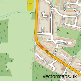
This Ware street map is a detailed vector street map covering a 750m x 750m area. Select a larger area to create and download your own vector street map of Ware.
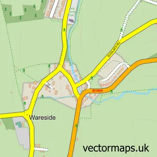
The 750-metre map sample for Ware covers 357 mapped buildings and approximately 20.3 km of road detail, of which 57 named roads are named. The immediate area includes 2 schools, 1 railway station, 2 GP surgeries and 13 pubs among other local services. The wider area around Ware features 6 tourism points of interest, 29 food and drink venues and 1 hotel. To create a larger or custom map of Ware, the map builder lets you define your own coverage area and download editable SVG, PDF and PNG files.
Create a larger editable map of Ware
Choose any area you need and generate a high-quality vector map instantly. Perfect for print, planning, design, business and personal use.

This Ware street map in Hertfordshire is available as downloadable SVG, PDF and PNG map files, or as a printed map for planning, business, display, education, local information and design work. You can also create a larger custom map area using the map selector.
What this Ware map sample shows
Ware lies within Ware Cp parish, part of Ware Christchurch ward in the East Hertfordshire District local authority area. The postcode geography for this area includes the SG postcode area, the SG12 postcode district and the SG12 9 postcode sector. Residents fall under the Nhs Hertfordshire And West Essex Integrated Care Board for NHS services.
Local features near Ware
Within 2 milesAmenities and services in and around Ware.
Administrative and postcode information for Ware
Ware lies within Ware Cp parish, part of Ware Christchurch ward in the East Hertfordshire District local authority area. The postcode geography for this area includes the SG postcode area, the SG12 postcode district and the SG12 9 postcode sector. Residents fall under the Nhs Hertfordshire And West Essex Integrated Care Board for NHS services.
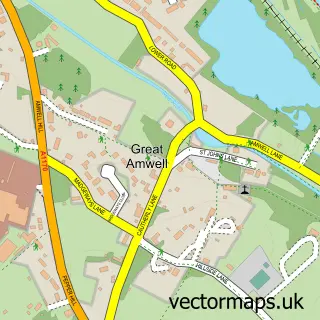
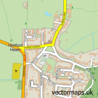
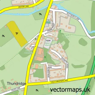
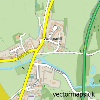
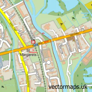
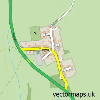
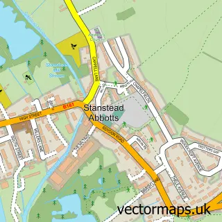
Nearby street map samples around Ware

More street maps in Hertfordshire
750 metre map area coverage
Boundary, postcode and point of interest information for the 750m x 750m rectangle centred on this sample map.
Boundaries containing map centre
Constituency: Hertford and Stortford Co Const
County: Hertfordshire County
District: East Hertfordshire District
Icb: NHS Central East ICB
Parish: Ware CP
Police Force: hertfordshire
Postcode District: SG12
Postcode Sector: SG12 9
Ward: Ware Priory Ward
Nearby boundaries intersecting sample
Postcode Sector: SG12 0, SG12 7
Ward: Ware St. Mary's Ward, Ware Trinity Ward
Postcode coverage
POI category counts
Real Estate Agent: 15
Beauty Salon: 14
Professional Services: 13
Pub: 13
Hair Salon: 11
Charity Organization: 10
Beauty And Spa: 8
Building Supply Store: 8
Doctor: 8
It Service And Computer Repair: 8
Sample points of interest
- Accounting Wise
- BakerPringle
- N Armes & Co. Ltd.
- Neil James & Co. Ltd.
- Star Payroll Services
- Mahon Digital Marketing
- Marnix Garner
- Mchale Ward Associates
- New River Industrial Communications
- STM Marketing Services
- WordSmart Communications
- John D Lancaster Hypnotherapy
Create a larger editable map of Ware
This sample shows only a 750 metre area. To create a larger map of Ware, use our map builder to choose your own coverage area, add titles and download editable SVG, PDF and PNG files.
Create a custom map of Ware