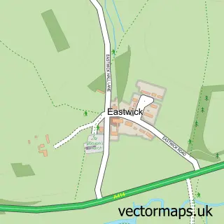
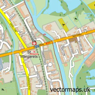
This Hunsdon street map is a detailed vector street map covering a 750m x 750m area. Select a larger area to create and download your own vector street map of Hunsdon.
The 750-metre map sample for Hunsdon covers 217 mapped buildings and approximately 9.6 km of road detail, of which 18 named roads are named. The immediate area includes 1 school, 4 pubs and 1 MOT station. The wider area around Hunsdon features 4 food and drink venues. To create a larger or custom map of Hunsdon, the map builder lets you define your own coverage area and download editable SVG, PDF and PNG files.
Create a larger editable map of Hunsdon
Choose any area you need and generate a high-quality vector map instantly. Perfect for print, planning, design, business and personal use.

This Hunsdon street map in Hertfordshire is available as downloadable SVG, PDF and PNG map files, or as a printed map for planning, business, display, education, local information and design work. You can also create a larger custom map area using the map selector.
What this Hunsdon map sample shows
Hunsdon lies within Hunsdon Cp parish, part of Hunsdon ward in the East Hertfordshire District local authority area. The postcode geography for this area includes the SG postcode area, the SG12 postcode district and the SG12 8 postcode sector. Residents fall under the Nhs Hertfordshire And West Essex Integrated Care Board for NHS services.
Local features near Hunsdon
Within 2 milesAmenities and services in and around Hunsdon.
Administrative and postcode information for Hunsdon
Hunsdon lies within Hunsdon Cp parish, part of Hunsdon ward in the East Hertfordshire District local authority area. The postcode geography for this area includes the SG postcode area, the SG12 postcode district and the SG12 8 postcode sector. Residents fall under the Nhs Hertfordshire And West Essex Integrated Care Board for NHS services.
Nearby street map samples around Hunsdon

More street maps in Hertfordshire
750 metre map area coverage
Boundary, postcode and point of interest information for the 750m x 750m rectangle centred on this sample map.
Boundaries containing map centre
Constituency: Hertford and Stortford Co Const
County: Hertfordshire County
District: East Hertfordshire District
Icb: NHS Central East ICB
Parish: Hunsdon CP
Police Force: hertfordshire
Postcode District: SG12
Postcode Sector: SG12 8
Ward: Hunsdon Ward
Nearby boundaries intersecting sample
No additional intersecting boundaries found.
Postcode coverage
POI category counts
Pub: 4
Elementary School: 2
Preschool: 2
Anglican Church: 1
Appliance Manufacturer: 1
Building Supply Store: 1
Carpet Store: 1
Caterer: 1
Community Center: 1
Convenience Store: 1
Sample points of interest
- St Francis Chapel
- Aqua Stations
- Harvey's Heating
- All The Floors
- Country Fare Catering
- Hunsdon Village Hall
- Hunsdon Convenience Store
- Hunsdon J M I School
- Hunsdon Junior Mixed Infant School
- F G Fencing supplies
- Principal Trees
- Pace
Create a larger editable map of Hunsdon
This sample shows only a 750 metre area. To create a larger map of Hunsdon, use our map builder to choose your own coverage area, add titles and download editable SVG, PDF and PNG files.
Create a custom map of Hunsdon