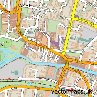
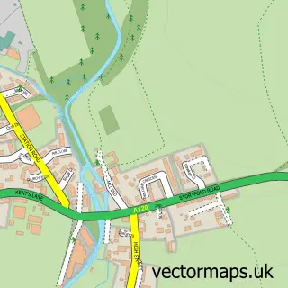
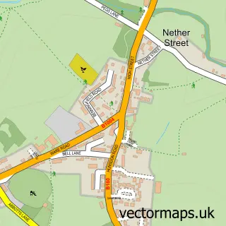
This Barwick street map is a detailed vector street map covering a 750m x 750m area. Select a larger area to create and download your own vector street map of Barwick.
The 750-metre map sample for Barwick covers 30 mapped buildings and approximately 4.9 km of road detail, of which 2 named roads are named. The immediate area includes 1 MOT station within 2 miles. To create a larger or custom map of Barwick, the map builder lets you define your own coverage area and download editable SVG, PDF and PNG files.
Create a larger editable map of Barwick
Choose any area you need and generate a high-quality vector map instantly. Perfect for print, planning, design, business and personal use.

This Barwick street map in Hertfordshire is available as downloadable SVG, PDF and PNG map files, or as a printed map for planning, business, display, education, local information and design work. You can also create a larger custom map area using the map selector.
What this Barwick map sample shows
Barwick lies within Standon Cp parish, part of Thundridge & Standon ward in the East Hertfordshire District local authority area. The postcode geography for this area includes the SG postcode area, the SG11 postcode district and the SG11 1 postcode sector. Residents fall under the Nhs Hertfordshire And West Essex Integrated Care Board for NHS services.
Local features near Barwick
Within 2 milesAmenities and services in and around Barwick.
Administrative and postcode information for Barwick
The local authority covering Barwick is East Hertfordshire District, within the county of Hertfordshire. The settlement lies within Thundridge & Standon ward and Standon Cp civil parish. The SG11 postcode district and SG11 1 postcode sector serve the immediate area. NHS provision in the area is delivered through East And North Hertfordshire Nhs Trust.
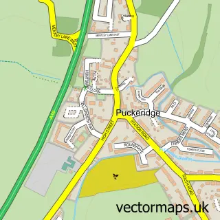
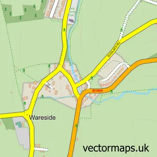
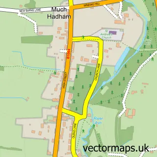
Nearby street map samples around Barwick

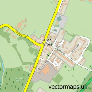
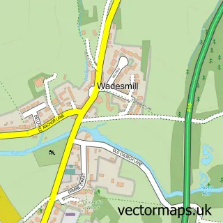
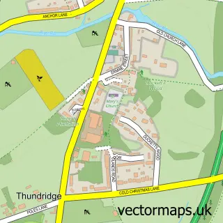
More street maps in Hertfordshire
750 metre map area coverage
Boundary, postcode and point of interest information for the 750m x 750m rectangle centred on this sample map.
Boundaries containing map centre
Constituency: North East Hertfordshire Co Const
County: Hertfordshire County
District: East Hertfordshire District
Icb: NHS Central East ICB
Parish: Standon CP
Police Force: hertfordshire
Postcode District: SG11
Postcode Sector: SG11 1
Ward: Braughing & Standon Ward
Nearby boundaries intersecting sample
Parish: Thundridge CP
Ward: Ware Rural Ward
Postcode coverage
POI category counts
Automotive Repair: 2
Auto Body Shop: 1
Building Supply Store: 1
Butcher Shop: 1
Carpenter: 1
Event Technology Service: 1
Landscape Architect: 1
Lumber Store: 1
Pet Groomer: 1
Sports And Recreation Venue: 1
Sample points of interest
- Premier Vehicle Repairs
- Mzb Automotive
- Premier Vehicle Repairs
- A10 Timber Co
- L.A Packing Co
- Buntingford Joinery
- Relevent
- Lewis Tree Care
- A10 Timber Co
- Dapper Doggies
- Herts in Tennis
- MPH Salvage & Recovery
Create a larger editable map of Barwick
This sample shows only a 750 metre area. To create a larger map of Barwick, use our map builder to choose your own coverage area, add titles and download editable SVG, PDF and PNG files.
Create a custom map of Barwick