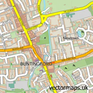
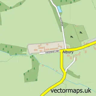
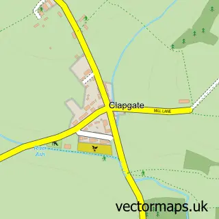
This Standon street map is a detailed vector street map covering a 750m x 750m area. Select a larger area to create and download your own vector street map of Standon.
The 750-metre map sample for Standon covers 175 mapped buildings and approximately 6.4 km of road detail, of which 13 named roads are named. The immediate area includes 1 GP surgery within 2 miles and 2 pubs. The wider area around Standon features 3 food and drink venues. To create a larger or custom map of Standon, the map builder lets you define your own coverage area and download editable SVG, PDF and PNG files.
Create a larger editable map of Standon
Choose any area you need and generate a high-quality vector map instantly. Perfect for print, planning, design, business and personal use.

This Standon street map in Hertfordshire is available as downloadable SVG, PDF and PNG map files, or as a printed map for planning, business, display, education, local information and design work. You can also create a larger custom map area using the map selector.
What this Standon map sample shows
Standon lies within Standon Cp parish, part of Thundridge & Standon ward in the East Hertfordshire District local authority area. The postcode geography for this area includes the SG postcode area, the SG11 postcode district and the SG11 1 postcode sector. Residents fall under the Nhs Hertfordshire And West Essex Integrated Care Board for NHS services.
Local features near Standon
Within 2 milesAmenities and services in and around Standon.
Administrative and postcode information for Standon
Standon lies within Standon Cp parish, part of Thundridge & Standon ward in the East Hertfordshire District local authority area. The postcode geography for this area includes the SG postcode area, the SG11 postcode district and the SG11 1 postcode sector. Residents fall under the Nhs Hertfordshire And West Essex Integrated Care Board for NHS services.
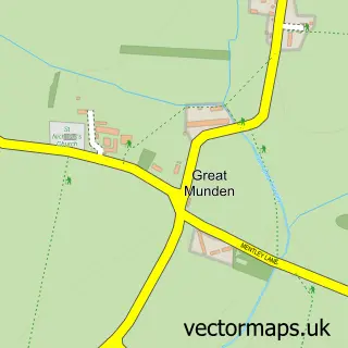
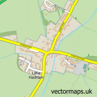
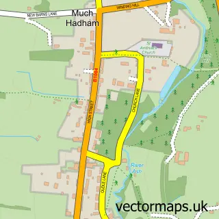
Nearby street map samples around Standon

More street maps in Hertfordshire
750 metre map area coverage
Boundary, postcode and point of interest information for the 750m x 750m rectangle centred on this sample map.
Boundaries containing map centre
Constituency: North East Hertfordshire Co Const
County: Hertfordshire County
District: East Hertfordshire District
Icb: NHS Central East ICB
Parish: Standon CP
Police Force: hertfordshire
Postcode District: SG11
Postcode Sector: SG11 1
Ward: Braughing & Standon Ward
Nearby boundaries intersecting sample
No additional intersecting boundaries found.
Postcode coverage
POI category counts
Automotive Repair: 2
Bakery: 2
Convenience Store: 2
Korean Grocery Store: 2
Pub: 2
Real Estate Agent: 2
Atms: 1
Audiovisual Equipment Rental: 1
Auto Body Shop: 1
Beauty Salon: 1
Sample points of interest
- PayPoint
- 119 Productions Services
- Car Body Repairs 4 Less
- Guy Auto Electrics
- Herts & Essex Garage Services
- Days Bakery
- Days the Bakers
- Bonami
- Bubbly Creations
- Enfield Safety Supplies
- The Wainwright Trust
- Standon Convenience
Create a larger editable map of Standon
This sample shows only a 750 metre area. To create a larger map of Standon, use our map builder to choose your own coverage area, add titles and download editable SVG, PDF and PNG files.
Create a custom map of Standon