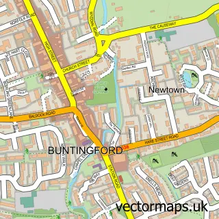
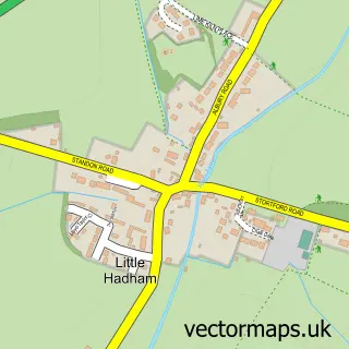
This Puckeridge street map is a detailed vector street map covering a 750m x 750m area. Select a larger area to create and download your own vector street map of Puckeridge.
The 750-metre map sample for Puckeridge covers 238 mapped buildings and approximately 12.3 km of road detail, of which 26 named roads are named. The immediate area includes 1 school, 1 GP surgery within 2 miles and 3 pubs. The wider area around Puckeridge features 4 food and drink venues. To create a larger or custom map of Puckeridge, the map builder lets you define your own coverage area and download editable SVG, PDF and PNG files.
Create a larger editable map of Puckeridge
Choose any area you need and generate a high-quality vector map instantly. Perfect for print, planning, design, business and personal use.

This Puckeridge street map in Hertfordshire is available as downloadable SVG, PDF and PNG map files, or as a printed map for planning, business, display, education, local information and design work. You can also create a larger custom map area using the map selector.
What this Puckeridge map sample shows
Puckeridge lies within Standon Cp parish, part of Puckeridge ward in the East Hertfordshire District local authority area. The postcode geography for this area includes the SG postcode area, the SG11 postcode district and the SG11 1 postcode sector. Residents fall under the Nhs Hertfordshire And West Essex Integrated Care Board for NHS services.
Local features near Puckeridge
Within 2 milesAmenities and services in and around Puckeridge.
Administrative and postcode information for Puckeridge
The local authority covering Puckeridge is East Hertfordshire District, within the county of Hertfordshire. The settlement lies within Puckeridge ward and Standon Cp civil parish. The SG11 postcode district and SG11 1 postcode sector serve the immediate area. NHS provision in the area is delivered through East And North Hertfordshire Nhs Trust.
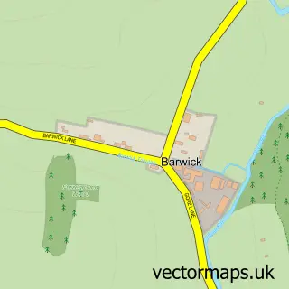
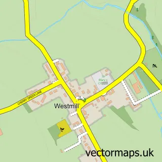
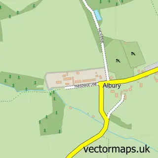
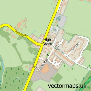
Nearby street map samples around Puckeridge

More street maps in Hertfordshire
750 metre map area coverage
Boundary, postcode and point of interest information for the 750m x 750m rectangle centred on this sample map.
Boundaries containing map centre
Constituency: North East Hertfordshire Co Const
County: Hertfordshire County
District: East Hertfordshire District
Icb: NHS Central East ICB
Parish: Standon CP
Police Force: hertfordshire
Postcode District: SG11
Postcode Sector: SG11 1
Ward: Braughing & Standon Ward
Nearby boundaries intersecting sample
Parish: Braughing CP
Postcode Sector: SG11 2
Postcode coverage
POI category counts
Pub: 3
Beauty Salon: 2
Convenience Store: 2
Event Planning: 2
Professional Services: 2
Accountant: 1
Barber: 1
Beauty And Spa: 1
Building Supply Store: 1
Caterer: 1
Sample points of interest
- Janelle Lankester
- Barbers 48
- A Line Aesthetics Herts
- Marie's Beauty Rooms
- The Beauticians
- BPM Bird & Pest Management
- Spit 'N' Roast
- Puckeridge Local Store
- TG's - Video shop
- Rob's Driving School
- Home Electrician Services
- St Thomas of Canterbury Catholic Primary School
Create a larger editable map of Puckeridge
This sample shows only a 750 metre area. To create a larger map of Puckeridge, use our map builder to choose your own coverage area, add titles and download editable SVG, PDF and PNG files.
Create a custom map of Puckeridge