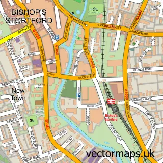
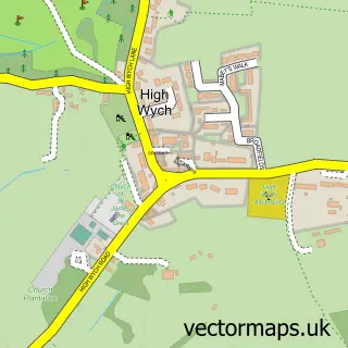
This Thorley street map is a detailed vector street map covering a 750m x 750m area. Select a larger area to create and download your own vector street map of Thorley.
The 750-metre map sample for Thorley covers 48 mapped buildings and approximately 8.0 km of road detail, of which 7 named roads are named. The immediate area includes 3 GP surgeries within 2 miles and 13 MOT stations within 2 miles. The wider area around Thorley features 2 tourism points of interest and 1 campsite within 2 miles. To create a larger or custom map of Thorley, the map builder lets you define your own coverage area and download editable SVG, PDF and PNG files.
Create a larger editable map of Thorley
Choose any area you need and generate a high-quality vector map instantly. Perfect for print, planning, design, business and personal use.

This Thorley street map in Hertfordshire is available as downloadable SVG, PDF and PNG map files, or as a printed map for planning, business, display, education, local information and design work. You can also create a larger custom map area using the map selector.
What this Thorley map sample shows
Thorley lies within Sawbridgeworth Cp parish, part of Sawbridgeworth ward in the East Hertfordshire District local authority area. The postcode geography for this area includes the CM postcode area, the CM23 postcode district and the CM23 4 postcode sector. Residents fall under the Nhs Hertfordshire And West Essex Integrated Care Board for NHS services.
Local features near Thorley
Within 2 milesAmenities and services in and around Thorley.
Administrative and postcode information for Thorley
The local authority covering Thorley is East Hertfordshire District, within the county of Hertfordshire. The settlement lies within Sawbridgeworth ward and Sawbridgeworth Cp civil parish. The CM23 postcode district and CM23 4 postcode sector serve the immediate area. NHS provision in the area is delivered through The Princess Alexandra Hospital Nhs Trust.
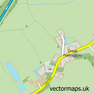
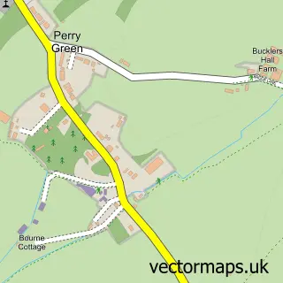
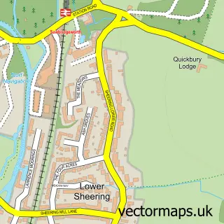
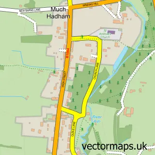
Nearby street map samples around Thorley

More street maps in Hertfordshire
750 metre map area coverage
Boundary, postcode and point of interest information for the 750m x 750m rectangle centred on this sample map.
Boundaries containing map centre
Constituency: Hertford and Stortford Co Const
County: Hertfordshire County
District: East Hertfordshire District
Icb: NHS Central East ICB
Parish: Thorley CP
Police Force: hertfordshire
Postcode District: CM23
Postcode Sector: CM23 4
Ward: Bishop's Stortford South Ward
Nearby boundaries intersecting sample
Parish: Bishop's Stortford CP
Ward: Bishop's Stortford Thorley Manor Ward
Postcode coverage
POI category counts
Anglican Church: 2
Church Cathedral: 2
Park: 2
Beauty Product Supplier: 1
Building Supply Store: 1
Freight And Cargo Service: 1
Home Cleaning: 1
Lake: 1
Medical Spa: 1
Pet Services: 1
Sample points of interest
- Christian Centre
- St James the Great
- FLAVO MedSpa (Beauty, Anti-ageing, Facials, Massage)
- Cleanbrite UK
- St Barnabas Centre
- St James's Church
- Marlin Logistics
- Cleanbrite
- St. Michael's Mead Lake
- Bespoke Beauty
- Bishop's Stortford Southern Country Park
- Friends of Southern Country Park
Create a larger editable map of Thorley
This sample shows only a 750 metre area. To create a larger map of Thorley, use our map builder to choose your own coverage area, add titles and download editable SVG, PDF and PNG files.
Create a custom map of Thorley