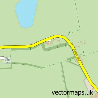
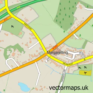
This Chelmsford street map is a detailed vector street map covering a 750m x 750m area. Select a larger area to create and download your own vector street map of Chelmsford.
The 750-metre map sample for Chelmsford covers 136 mapped buildings and approximately 16.4 km of road detail, of which 30 named roads are named. The immediate area includes 1 school, 1 railway station, 9 GP surgeries within 2 miles and 20 pubs among other local services. The wider area around Chelmsford features 14 tourism points of interest, 78 food and drink venues and 1 hotel. To create a larger or custom map of Chelmsford, the map builder lets you define your own coverage area and download editable SVG, PDF and PNG files.
Create a larger editable map of Chelmsford
Choose any area you need and generate a high-quality vector map instantly. Perfect for print, planning, design, business and personal use.

This Chelmsford street map in Essex is available as downloadable SVG, PDF and PNG map files, or as a printed map for planning, business, display, education, local information and design work. You can also create a larger custom map area using the map selector.
What this Chelmsford map sample shows
Chelmsford lies within Great Baddow Cp parish, part of Great Baddow West ward in the Chelmsford District (B) local authority area. The postcode geography for this area includes the CM postcode area, the CM2 postcode district and the CM2 9 postcode sector. Residents fall under the Nhs Mid And South Essex Integrated Care Board for NHS services.
Local features near Chelmsford
Within 2 milesAmenities and services in and around Chelmsford.
Administrative and postcode information for Chelmsford
Chelmsford lies within Great Baddow Cp parish, part of Great Baddow West ward in the Chelmsford District (B) local authority area. The postcode geography for this area includes the CM postcode area, the CM2 postcode district and the CM2 9 postcode sector. Residents fall under the Nhs Mid And South Essex Integrated Care Board for NHS services.
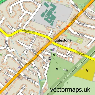
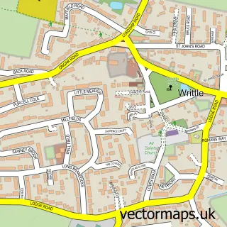
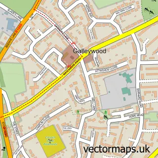
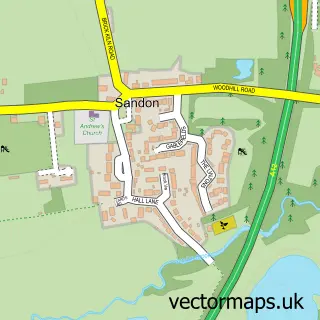
Nearby street map samples around Chelmsford
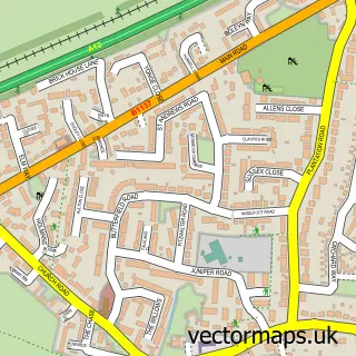
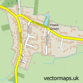
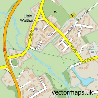
More street maps in Essex
750 metre map area coverage
Boundary, postcode and point of interest information for the 750m x 750m rectangle centred on this sample map.
Boundaries containing map centre
Constituency: Chelmsford Boro Const
County: Essex County
District: Chelmsford District (B)
Icb: NHS Essex ICB
Police Force: essex
Postcode District: CM1
Postcode Sector: CM1 1
Ward: Moulsham and Central Ward
Nearby boundaries intersecting sample
Postcode District: CM2
Postcode Sector: CM2 0, CM2 6
Ward: Marconi Ward
Postcode coverage
POI category counts
Clothing Store: 46
Real Estate Agent: 32
Professional Services: 29
Employment Agencies: 26
Coffee Shop: 22
Restaurant: 22
Jewelry Store: 20
Pub: 20
Bar: 17
Hair Salon: 16
Sample points of interest
- Rickard Luckin Ltd.
- Active Essex
- Sharp Shooters
- Derek Climpson Acupuncture
- Derek Climpson( Alexander Technique)
- Essex Send I a S Service
- Club Tantalize
- Better Agency
- Breathe Design
- Christine Michaelis - Marketing and creative start-up Coach
- Disseminate Digital Marketing
- FASTSIGNS Chelmsford
Create a larger editable map of Chelmsford
This sample shows only a 750 metre area. To create a larger map of Chelmsford, use our map builder to choose your own coverage area, add titles and download editable SVG, PDF and PNG files.
Create a custom map of Chelmsford