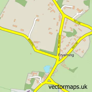
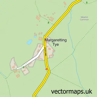
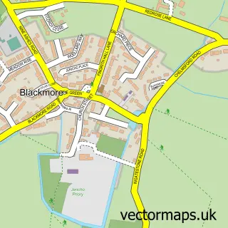
This Ingatestone street map is a detailed vector street map covering a 750m x 750m area. Select a larger area to create and download your own vector street map of Ingatestone.
The 750-metre map sample for Ingatestone covers 487 mapped buildings and approximately 25.8 km of road detail, of which 32 named roads are named. The immediate area includes 1 school, 1 GP surgery, 2 pubs and 3 MOT stations within 2 miles. The wider area around Ingatestone features 3 tourism points of interest and 5 food and drink venues. To create a larger or custom map of Ingatestone, the map builder lets you define your own coverage area and download editable SVG, PDF and PNG files.
Create a larger editable map of Ingatestone
Choose any area you need and generate a high-quality vector map instantly. Perfect for print, planning, design, business and personal use.

This Ingatestone street map in Essex is available as downloadable SVG, PDF and PNG map files, or as a printed map for planning, business, display, education, local information and design work. You can also create a larger custom map area using the map selector.
What this Ingatestone map sample shows
Ingatestone lies within Ingatestone And Fryerning Cp parish, part of Ingatestone, Fryerning And Mountnessing ward in the Brentwood District (B) local authority area. The postcode geography for this area includes the CM postcode area, the CM4 postcode district and the CM4 9 postcode sector. Residents fall under the Nhs Mid And South Essex Integrated Care Board for NHS services.
Local features near Ingatestone
Within 2 milesAmenities and services in and around Ingatestone.
Administrative and postcode information for Ingatestone
The local authority covering Ingatestone is Brentwood District (B), within the county of Essex. The settlement lies within Ingatestone, Fryerning And Mountnessing ward and Ingatestone And Fryerning Cp civil parish. The CM4 postcode district and CM4 9 postcode sector serve the immediate area. NHS provision in the area is delivered through Mid And South Essex Nhs Foundation Trust.
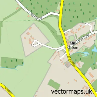
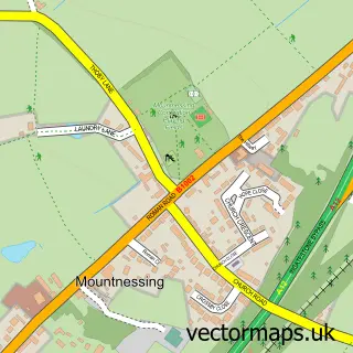
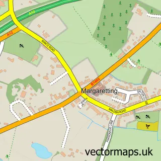
Nearby street map samples around Ingatestone

More street maps in Essex
750 metre map area coverage
Boundary, postcode and point of interest information for the 750m x 750m rectangle centred on this sample map.
Boundaries containing map centre
Constituency: Brentwood and Ongar Co Const
County: Essex County
District: Brentwood District (B)
Icb: NHS Essex ICB
Parish: Ingatestone and Fryerning CP
Police Force: essex
Postcode District: CM4
Postcode Sector: CM4 9
Ward: Ingatestone, Fryerning & Mountnessing Ward
Nearby boundaries intersecting sample
Postcode Sector: CM4 0
Postcode coverage
POI category counts
Real Estate Agent: 9
Professional Services: 5
Barber: 4
Clothing Store: 4
Beauty Salon: 3
Business Management Services: 3
Financial Service: 3
Flowers And Gifts Shop: 3
Hair Salon: 3
Interior Design: 3
Sample points of interest
- Taylor Viney and Marlow
- Radley Green Equestrian
- Ingatestone: St Edmund & St Mary
- Hutchisons
- Ingatestone Antiques
- May & Raeburn
- Oaktree Gallery
- Paper Station at The Old Forge
- Chelmsford Star Coop Ingatestone
- S G Voyce
- T.J. Atkinson
- Loo Loos
Create a larger editable map of Ingatestone
This sample shows only a 750 metre area. To create a larger map of Ingatestone, use our map builder to choose your own coverage area, add titles and download editable SVG, PDF and PNG files.
Create a custom map of Ingatestone