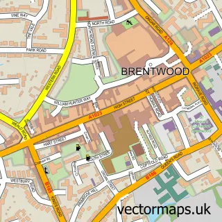
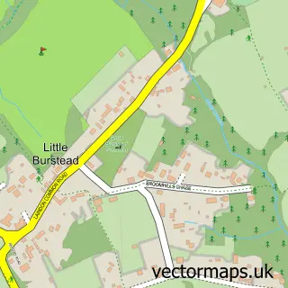
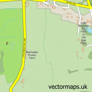
This Hutton street map is a detailed vector street map covering a 750m x 750m area. Select a larger area to create and download your own vector street map of Hutton.
The 750-metre map sample for Hutton covers 556 mapped buildings and approximately 19.3 km of road detail, of which 40 named roads are named. The immediate area includes 2 GP surgeries within 2 miles, 2 pubs and 7 MOT stations within 2 miles. The wider area around Hutton features 1 tourism point of interest and 3 food and drink venues. To create a larger or custom map of Hutton, the map builder lets you define your own coverage area and download editable SVG, PDF and PNG files.
Create a larger editable map of Hutton
Choose any area you need and generate a high-quality vector map instantly. Perfect for print, planning, design, business and personal use.

This Hutton street map in Essex is available as downloadable SVG, PDF and PNG map files, or as a printed map for planning, business, display, education, local information and design work. You can also create a larger custom map area using the map selector.
What this Hutton map sample shows
Hutton lies within Essex County parish, part of Hutton East ward in the Brentwood District (B) local authority area. The postcode geography for this area includes the CM postcode area, the CM13 postcode district and the CM13 1 postcode sector. Residents fall under the Nhs Mid And South Essex Integrated Care Board for NHS services.
Local features near Hutton
Within 2 milesAmenities and services in and around Hutton.
Administrative and postcode information for Hutton
The local authority covering Hutton is Brentwood District (B), within the county of Essex. The settlement lies within Hutton East ward and Essex County civil parish. The CM13 postcode district and CM13 1 postcode sector serve the immediate area. NHS provision in the area is delivered through Mid And South Essex Nhs Foundation Trust.
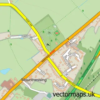
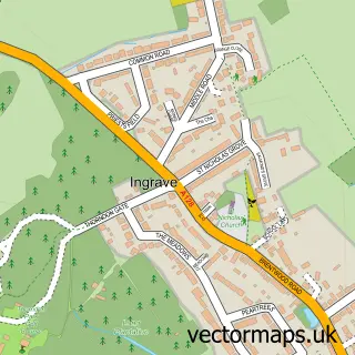
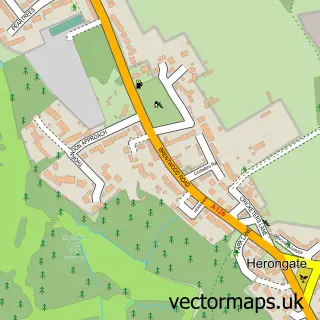
Nearby street map samples around Hutton

More street maps in Essex
750 metre map area coverage
Boundary, postcode and point of interest information for the 750m x 750m rectangle centred on this sample map.
Boundaries containing map centre
Constituency: Brentwood and Ongar Co Const
County: Essex County
District: Brentwood District (B)
Icb: NHS Essex ICB
Police Force: essex
Postcode District: CM13
Postcode Sector: CM13 1
Ward: Hutton East Ward
Nearby boundaries intersecting sample
Postcode Sector: CM13 2
Ward: Hutton North Ward
Postcode coverage
POI category counts
Building Supply Store: 3
Contractor: 2
Indian Restaurant: 2
Post Office: 2
Professional Services: 2
Pub: 2
Advertising Agency: 1
Art Gallery: 1
Arts And Entertainment: 1
Atms: 1
Sample points of interest
- Jo Roper Design
- Curly Cloud Face Painting
- Hutton, Essex
- The Cooperative Food (BF) Hutton, Hutton
- Auto Aircon Essex
- Essex grill5
- Mioara Barber Shop
- Beautification Ltd
- Suite Beauty
- A.S.W. Decorating
- CEMEX UK Materials
- Cleaner in a Bottle
Create a larger editable map of Hutton
This sample shows only a 750 metre area. To create a larger map of Hutton, use our map builder to choose your own coverage area, add titles and download editable SVG, PDF and PNG files.
Create a custom map of Hutton