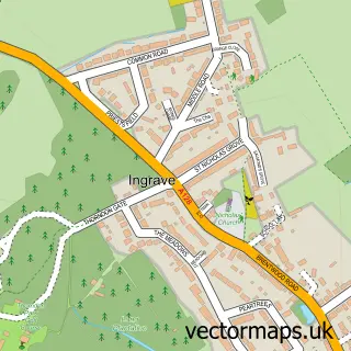
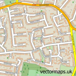
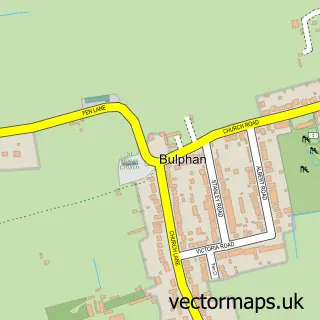
This Herongate street map is a detailed vector street map covering a 750m x 750m area. Select a larger area to create and download your own vector street map of Herongate.
The 750-metre map sample for Herongate covers 223 mapped buildings and approximately 7.7 km of road detail, of which 11 named roads are named. The immediate area includes 1 school, 1 pub and 1 MOT station within 2 miles. The wider area around Herongate features 2 tourism points of interest and 4 food and drink venues. To create a larger or custom map of Herongate, the map builder lets you define your own coverage area and download editable SVG, PDF and PNG files.
Create a larger editable map of Herongate
Choose any area you need and generate a high-quality vector map instantly. Perfect for print, planning, design, business and personal use.

This Herongate street map in Essex is available as downloadable SVG, PDF and PNG map files, or as a printed map for planning, business, display, education, local information and design work. You can also create a larger custom map area using the map selector.
What this Herongate map sample shows
Herongate lies within Herongate And Ingrave Cp parish, part of Herongate, Ingrave And West Horndon ward in the Brentwood District (B) local authority area. The postcode geography for this area includes the CM postcode area, the CM13 postcode district and the CM13 3 postcode sector. Residents fall under the Nhs Mid And South Essex Integrated Care Board for NHS services.
Local features near Herongate
Within 2 milesAmenities and services in and around Herongate.
Administrative and postcode information for Herongate
The local authority covering Herongate is Brentwood District (B), within the county of Essex. The settlement lies within Herongate, Ingrave And West Horndon ward and Herongate And Ingrave Cp civil parish. The CM13 postcode district and CM13 3 postcode sector serve the immediate area. NHS provision in the area is delivered through Mid And South Essex Nhs Foundation Trust.
Nearby street map samples around Herongate
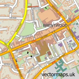

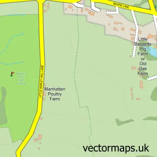
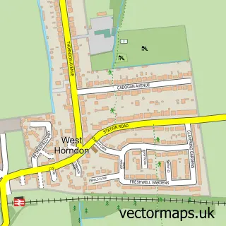
More street maps in Essex
750 metre map area coverage
Boundary, postcode and point of interest information for the 750m x 750m rectangle centred on this sample map.
Boundaries containing map centre
Constituency: Brentwood and Ongar Co Const
County: Essex County
District: Brentwood District (B)
Icb: NHS Essex ICB
Parish: Herongate and Ingrave CP
Police Force: essex
Postcode District: CM13
Postcode Sector: CM13 3
Ward: Herongate, Ingrave & West Horndon Ward
Nearby boundaries intersecting sample
No additional intersecting boundaries found.
Postcode coverage
POI category counts
Convenience Store: 3
Coffee Shop: 2
Gas Station: 2
Park: 2
Pet Store: 2
Atms: 1
Beer Bar: 1
Bicycle Shop: 1
Building Supply Store: 1
Cafe: 1
Sample points of interest
- BP - Ingrave SF Connect (swap), Ingrave
- Green Man
- Herongate Cycles
- Comprehensive Carpentry Services
- Wild Bean Café
- Brentwood Joinery
- Costa Coffee
- bp pulse Charging Station
- Herongate Community Garden
- Bartlett Owen Burrows
- M&S Simply Food
- Premier
Create a larger editable map of Herongate
This sample shows only a 750 metre area. To create a larger map of Herongate, use our map builder to choose your own coverage area, add titles and download editable SVG, PDF and PNG files.
Create a custom map of Herongate