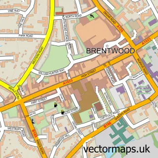
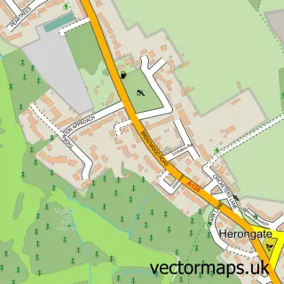
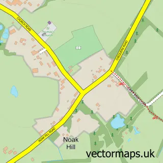
This Great Warley street map is a detailed vector street map covering a 750m x 750m area. Select a larger area to create and download your own vector street map of Great Warley.
The 750-metre map sample for Great Warley covers 49 mapped buildings and approximately 1.9 km of road detail, of which 1 named road are named. The immediate area includes 2 GP surgeries within 2 miles and 7 MOT stations within 2 miles. The wider area around Great Warley features 2 hotels. To create a larger or custom map of Great Warley, the map builder lets you define your own coverage area and download editable SVG, PDF and PNG files.
Create a larger editable map of Great Warley
Choose any area you need and generate a high-quality vector map instantly. Perfect for print, planning, design, business and personal use.

This Great Warley street map in Essex is available as downloadable SVG, PDF and PNG map files, or as a printed map for planning, business, display, education, local information and design work. You can also create a larger custom map area using the map selector.
What this Great Warley map sample shows
Great Warley lies within Essex County parish, part of Warley ward in the Brentwood District (B) local authority area. The postcode geography for this area includes the CM postcode area, the CM13 postcode district and the CM13 3 postcode sector. Residents fall under the Nhs Mid And South Essex Integrated Care Board for NHS services.
Local features near Great Warley
Within 2 milesAmenities and services in and around Great Warley.
Administrative and postcode information for Great Warley
The local authority covering Great Warley is Brentwood District (B), within the county of Essex. The settlement lies within Warley ward and Essex County civil parish. The CM13 postcode district and CM13 3 postcode sector serve the immediate area. NHS provision in the area is delivered through Mid And South Essex Nhs Foundation Trust.
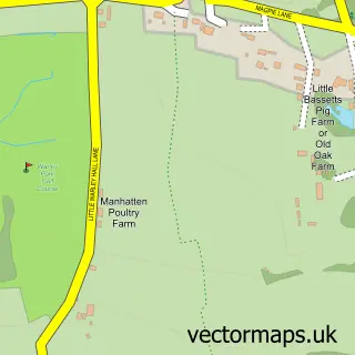
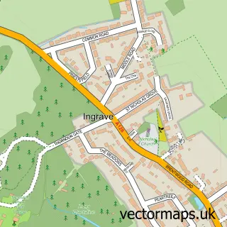
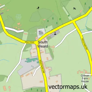
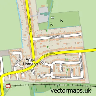
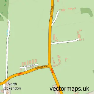
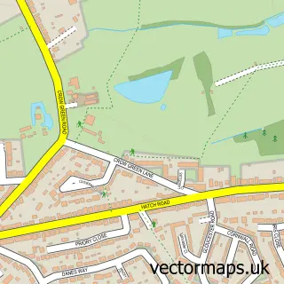
Nearby street map samples around Great Warley

More street maps in Essex
750 metre map area coverage
Boundary, postcode and point of interest information for the 750m x 750m rectangle centred on this sample map.
Boundaries containing map centre
Constituency: Brentwood and Ongar Co Const
County: Essex County
District: Brentwood District (B)
Icb: NHS Essex ICB
Police Force: essex
Postcode District: CM13
Postcode Sector: CM13 3
Ward: Herongate, Ingrave & West Horndon Ward
Nearby boundaries intersecting sample
Ward: Warley Ward
Postcode coverage
POI category counts
Hotel: 2
Financial Service: 1
Hair Salon: 1
Medical Center: 1
Pet Services: 1
Preschool: 1
Professional Services: 1
Sample points of interest
- Clear Asset Finance
- Violets Beauty
- De Rougemont Manor
- Weddings Hornchurch
- Essex County Council
- Lawlor Cat Hotel
- Forest Barn Nursery School
- Crestmount Electrical
Create a larger editable map of Great Warley
This sample shows only a 750 metre area. To create a larger map of Great Warley, use our map builder to choose your own coverage area, add titles and download editable SVG, PDF and PNG files.
Create a custom map of Great Warley