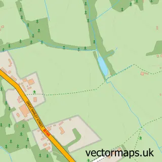
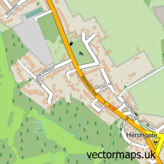
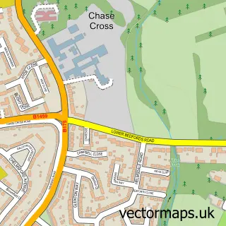
This North Ockendon street map is a detailed vector street map covering a 750m x 750m area. Select a larger area to create and download your own vector street map of North Ockendon.
The 750-metre map sample for North Ockendon covers 55 mapped buildings and approximately 4.4 km of road detail, of which 3 named roads are named. The immediate area includes 2 GP surgeries within 2 miles and 3 MOT stations within 2 miles. To create a larger or custom map of North Ockendon, the map builder lets you define your own coverage area and download editable SVG, PDF and PNG files.
Create a larger editable map of North Ockendon
Choose any area you need and generate a high-quality vector map instantly. Perfect for print, planning, design, business and personal use.

This North Ockendon street map in Greater London is available as downloadable SVG, PDF and PNG map files, or as a printed map for planning, business, display, education, local information and design work. You can also create a larger custom map area using the map selector.
What this North Ockendon map sample shows
North Ockendon lies within Greater London Authority parish, part of Upminster ward in the Havering London Boro local authority area. The postcode geography for this area includes the RM postcode area, the RM14 postcode district and the RM14 3 postcode sector. Residents fall under the Nhs North East London Integrated Care Board for NHS services.
Local features near North Ockendon
Within 2 milesAmenities and services in and around North Ockendon.
Administrative and postcode information for North Ockendon
The local authority covering North Ockendon is Havering London Boro, within the county of Greater London. The settlement lies within Upminster ward and Greater London Authority civil parish. The RM14 postcode district and RM14 3 postcode sector serve the immediate area. NHS provision in the area is delivered through Barking, Havering And Redbridge University Hospitals Nhs Trust.
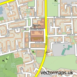
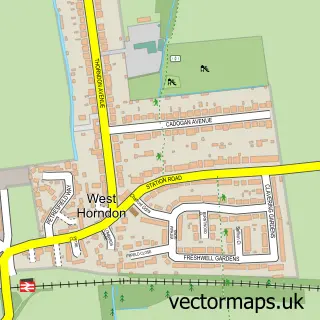
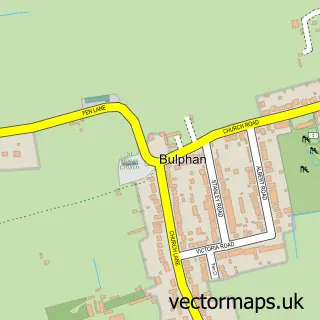
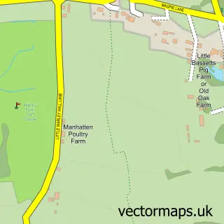
Nearby street map samples around North Ockendon

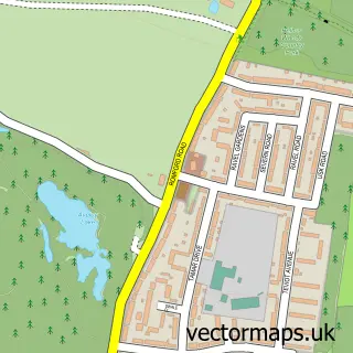
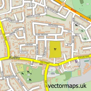
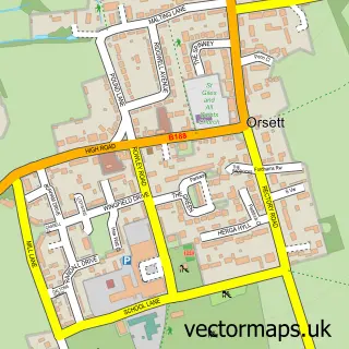
More street maps in Greater London
750 metre map area coverage
Boundary, postcode and point of interest information for the 750m x 750m rectangle centred on this sample map.
Boundaries containing map centre
Constituency: Hornchurch and Upminster Boro Const
County: Greater London Authority
District: Havering London Boro
Icb: NHS North East London ICB
Police Force: metropolitan
Postcode District: RM14
Postcode Sector: RM14 3
Ward: Upminster Ward
Nearby boundaries intersecting sample
No additional intersecting boundaries found.
Postcode coverage
POI category counts
Building Supply Store: 2
Contractor: 1
Farm: 1
Home Cleaning: 1
Nursery And Gardening: 1
Pet Boarding: 1
Retirement Home: 1
Storage Facility: 1
Used Car Dealer: 1
Sample points of interest
- Kendall Scaffolding
- White Post Building Services
- Joinery and Interiors
- Pick your own Fenlands Pumpkins
- North Ockendon Carpet Cleaners
- Fenlands Nursery
- Terry's Kennels
- Upminster Nursing Home
- Man With North Ockendon
- LMC Cars
Create a larger editable map of North Ockendon
This sample shows only a 750 metre area. To create a larger map of North Ockendon, use our map builder to choose your own coverage area, add titles and download editable SVG, PDF and PNG files.
Create a custom map of North Ockendon