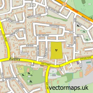
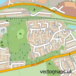
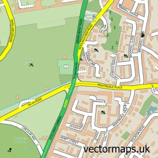
This Erith street map is a detailed vector street map covering a 750m x 750m area. Select a larger area to create and download your own vector street map of Erith.
The 750-metre map sample for Erith covers 240 mapped buildings and approximately 18.7 km of road detail, of which 34 named roads are named. The immediate area includes 1 railway station, 1 GP surgery, with 7 within 2 miles, 1 pub and 20 MOT stations within 2 miles. The wider area around Erith features 1 tourism point of interest and 9 food and drink venues. To create a larger or custom map of Erith, the map builder lets you define your own coverage area and download editable SVG, PDF and PNG files.
Create a larger editable map of Erith
Choose any area you need and generate a high-quality vector map instantly. Perfect for print, planning, design, business and personal use.

This Erith street map in Greater London is available as downloadable SVG, PDF and PNG map files, or as a printed map for planning, business, display, education, local information and design work. You can also create a larger custom map area using the map selector.
What this Erith map sample shows
Erith lies within Greater London Authority parish, part of Erith ward in the Bexley London Boro local authority area. The postcode geography for this area includes the DA postcode area, the DA8 postcode district and the DA8 3 postcode sector. Residents fall under the Nhs South East London Integrated Care Board for NHS services.
Local features near Erith
Within 2 milesAmenities and services in and around Erith.
Administrative and postcode information for Erith
Erith lies within Greater London Authority parish, part of Erith ward in the Bexley London Boro local authority area. The postcode geography for this area includes the DA postcode area, the DA8 postcode district and the DA8 3 postcode sector. Residents fall under the Nhs South East London Integrated Care Board for NHS services.
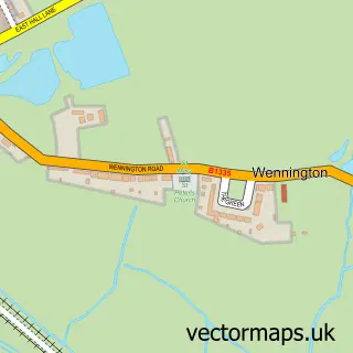
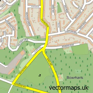
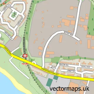
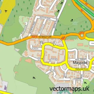
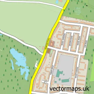
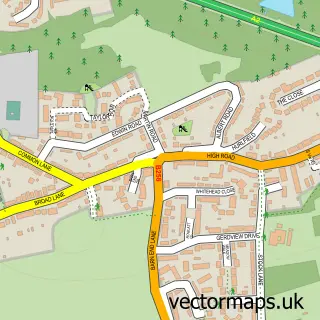
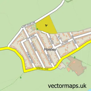
Nearby street map samples around Erith

More street maps in Greater London
750 metre map area coverage
Boundary, postcode and point of interest information for the 750m x 750m rectangle centred on this sample map.
Boundaries containing map centre
Constituency: Erith and Thamesmead Boro Const
County: Greater London Authority
District: Bexley London Boro
Icb: NHS South East London ICB
Police Force: metropolitan
Postcode District: DA8
Postcode Sector: DA8 1
Ward: Erith Ward
Nearby boundaries intersecting sample
Constituency: Bexleyheath and Crayford Boro Const
Postcode Sector: DA8 2, DA8 3
Ward: Northumberland Heath Ward, Slade Green & Northend Ward
Postcode coverage
POI category counts
Fast Food Restaurant: 9
Doctor: 5
Supermarket: 5
Cafe: 4
Church Cathedral: 4
Doner Kebab: 4
Key And Locksmith: 4
Korean Grocery Store: 4
Library: 4
Tutoring Center: 4
Sample points of interest
- Learning & Enterprise College Bexley
- D L Communications
- WDS Signs
- Erith: Christ Church
- Bexley College
- O'Bottle
- PayPoint
- Jimmy’s Mobile Valeting
- Total Vehicle Care
- Remap Motive
- Greggs
- Barclays Bank
Create a larger editable map of Erith
This sample shows only a 750 metre area. To create a larger map of Erith, use our map builder to choose your own coverage area, add titles and download editable SVG, PDF and PNG files.
Create a custom map of Erith