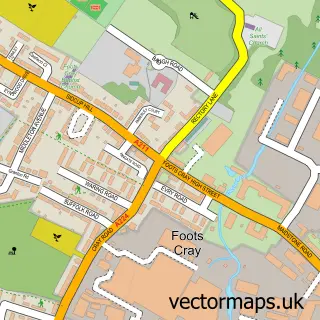
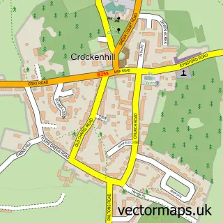
This Ruxley street map is a detailed vector street map covering a 750m x 750m area. Select a larger area to create and download your own vector street map of Ruxley.
The 750-metre map sample for Ruxley covers 151 mapped buildings and approximately 7.2 km of road detail, of which 8 named roads are named. The immediate area includes 4 GP surgeries within 2 miles and 1 MOT station, with 22 within 2 miles. The wider area around Ruxley features 2 tourism points of interest and 2 food and drink venues. To create a larger or custom map of Ruxley, the map builder lets you define your own coverage area and download editable SVG, PDF and PNG files.
Create a larger editable map of Ruxley
Choose any area you need and generate a high-quality vector map instantly. Perfect for print, planning, design, business and personal use.

This Ruxley street map in Greater London is available as downloadable SVG, PDF and PNG map files, or as a printed map for planning, business, display, education, local information and design work. You can also create a larger custom map area using the map selector.
What this Ruxley map sample shows
Ruxley lies within Greater London Authority parish, part of Sidcup ward in the Bexley London Boro local authority area. The postcode geography for this area includes the DA postcode area, the DA14 postcode district and the DA14 6 postcode sector. Residents fall under the Nhs South East London Integrated Care Board for NHS services.
Local features near Ruxley
Within 2 milesAmenities and services in and around Ruxley.
Administrative and postcode information for Ruxley
Ruxley lies within Greater London Authority parish, part of Sidcup ward in the Bexley London Boro local authority area. The postcode geography for this area includes the DA postcode area, the DA14 postcode district and the DA14 6 postcode sector. Residents fall under the Nhs South East London Integrated Care Board for NHS services.
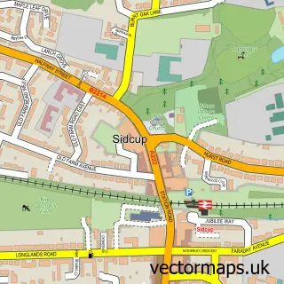
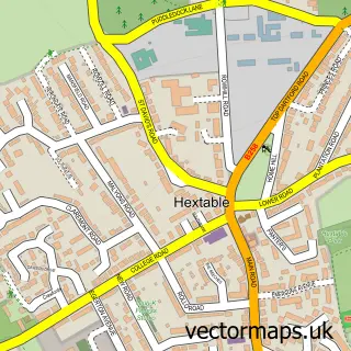
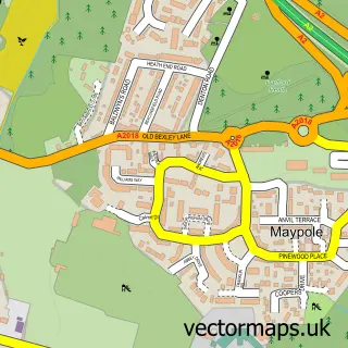
Nearby street map samples around Ruxley


More street maps in Greater London
750 metre map area coverage
Boundary, postcode and point of interest information for the 750m x 750m rectangle centred on this sample map.
Boundaries containing map centre
Constituency: Old Bexley and Sidcup Boro Const
County: Greater London Authority
District: Bexley London Boro
Icb: NHS South East London ICB
Police Force: metropolitan
Postcode District: DA14
Postcode Sector: DA14 5
Ward: St. Mary's & St. James Ward
Nearby boundaries intersecting sample
Constituency: Orpington Boro Const
District: Bromley London Boro
Ward: St. Paul's Cray Ward
Postcode coverage
POI category counts
Car Dealer: 3
Italian Restaurant: 3
Used Car Dealer: 3
British Restaurant: 2
Building Supply Store: 2
Landmark And Historical Building: 2
Nursery And Gardening: 2
Yoga Studio: 2
Auto Electrical Repair: 1
Automotive Repair: 1
Sample points of interest
- Axis Cleaning Supplies
- Hedin Automotive Ruxley
- Hermazing Beauty
- Ruxley Rooms
- The Mulberry Tree Restaurant
- The Mulberry Tree Restaurant
- Granite Transformations Ruxley
- R R M Heating Ltd
- Honeydale Farm
- BMW Approved Dealers
- BMW UK
- Stephen James Ruxley
Create a larger editable map of Ruxley
This sample shows only a 750 metre area. To create a larger map of Ruxley, use our map builder to choose your own coverage area, add titles and download editable SVG, PDF and PNG files.
Create a custom map of Ruxley