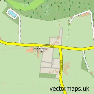
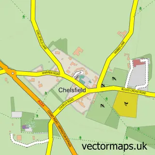
This Crockenhill street map is a detailed vector street map covering a 750m x 750m area. Select a larger area to create and download your own vector street map of Crockenhill.
The 750-metre map sample for Crockenhill covers 256 mapped buildings and approximately 11.2 km of road detail, of which 19 named roads are named. The immediate area includes 1 school, 2 GP surgeries within 2 miles, 1 pub and 2 MOT stations, with 5 within 2 miles. The wider area around Crockenhill features 1 tourism point of interest and 2 food and drink venues. To create a larger or custom map of Crockenhill, the map builder lets you define your own coverage area and download editable SVG, PDF and PNG files.
Create a larger editable map of Crockenhill
Choose any area you need and generate a high-quality vector map instantly. Perfect for print, planning, design, business and personal use.

This Crockenhill street map in Kent is available as downloadable SVG, PDF and PNG map files, or as a printed map for planning, business, display, education, local information and design work. You can also create a larger custom map area using the map selector.
What this Crockenhill map sample shows
Crockenhill lies within Crockenhill Cp parish, part of Crockenhill And Well Hill ward in the Sevenoaks District local authority area. The postcode geography for this area includes the BR postcode area, the BR8 postcode district and the BR8 8 postcode sector. Residents fall under the Nhs Kent And Medway Integrated Care Board for NHS services.
Local features near Crockenhill
Within 2 milesAmenities and services in and around Crockenhill.
Administrative and postcode information for Crockenhill
The local authority covering Crockenhill is Sevenoaks District, within the county of Kent. The settlement lies within Crockenhill And Well Hill ward and Crockenhill Cp civil parish. The BR8 postcode district and BR8 8 postcode sector serve the immediate area. NHS provision in the area is delivered through Dartford And Gravesham Nhs Trust.
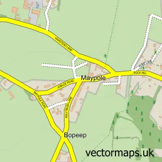
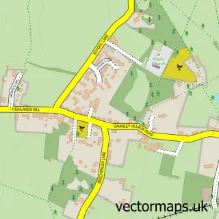
Nearby street map samples around Crockenhill


More street maps in Kent
750 metre map area coverage
Boundary, postcode and point of interest information for the 750m x 750m rectangle centred on this sample map.
Boundaries containing map centre
Constituency: Sevenoaks Co Const
County: Kent County
District: Sevenoaks District
Icb: NHS Kent and Medway ICB
Parish: Crockenhill CP
Police Force: kent
Postcode District: BR8
Postcode Sector: BR8 8
Ward: Crockenhill and Well Hill Ward
Nearby boundaries intersecting sample
No additional intersecting boundaries found.
Postcode coverage
POI category counts
Contractor: 4
Automotive Repair: 2
Bakery: 2
Convenience Store: 2
Driving School: 2
Home Service: 2
Anglican Church: 1
Arts And Entertainment: 1
Baptist Church: 1
Building Supply Store: 1
Sample points of interest
- All Souls' Crockenhill
- Koi Carp UK
- Autograze
- MCA Garage Services
- Angel Bakes
- Ice As Nice
- Crockenhill Baptist Church
- Reliance SE Cleaning Services
- BMC Carpentry & Construction
- All Souls' Church
- The Crockenhill Village Hall
- BBCElectricalUK
Create a larger editable map of Crockenhill
This sample shows only a 750 metre area. To create a larger map of Crockenhill, use our map builder to choose your own coverage area, add titles and download editable SVG, PDF and PNG files.
Create a custom map of Crockenhill