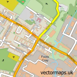
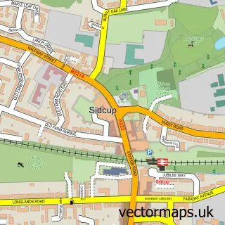
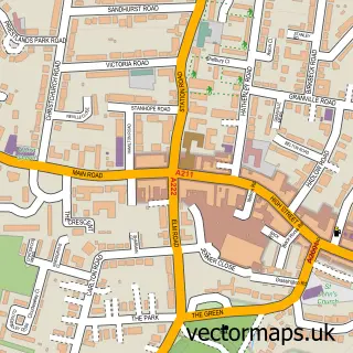
This Upper Ruxley street map is a detailed vector street map covering a 750m x 750m area. Select a larger area to create and download your own vector street map of Upper Ruxley.
The 750-metre map sample for Upper Ruxley covers 69 mapped buildings and approximately 10.8 km of road detail, of which 3 named roads are named. The immediate area includes 3 GP surgeries within 2 miles and 22 MOT stations within 2 miles. The wider area around Upper Ruxley features 1 food and drink venue and 1 hotel. To create a larger or custom map of Upper Ruxley, the map builder lets you define your own coverage area and download editable SVG, PDF and PNG files.
Create a larger editable map of Upper Ruxley
Choose any area you need and generate a high-quality vector map instantly. Perfect for print, planning, design, business and personal use.

This Upper Ruxley street map in Greater London is available as downloadable SVG, PDF and PNG map files, or as a printed map for planning, business, display, education, local information and design work. You can also create a larger custom map area using the map selector.
What this Upper Ruxley map sample shows
Upper Ruxley lies within Greater London Authority parish, part of Sidcup ward in the Bexley London Boro local authority area. The postcode geography for this area includes the DA postcode area, the DA14 postcode district and the DA14 6 postcode sector. Residents fall under the Nhs South East London Integrated Care Board for NHS services.
Local features near Upper Ruxley
Within 2 milesAmenities and services in and around Upper Ruxley.
Administrative and postcode information for Upper Ruxley
The local authority covering Upper Ruxley is Bexley London Boro, within the county of Greater London. The settlement lies within Sidcup ward and Greater London Authority civil parish. The DA14 postcode district and DA14 6 postcode sector serve the immediate area. NHS provision in the area is delivered through King's College Hospital Nhs Foundation Trust.
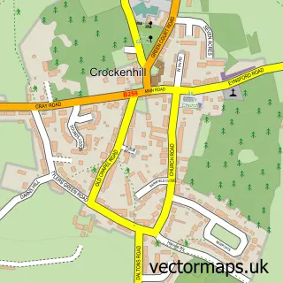
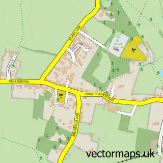
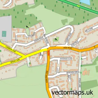
Nearby street map samples around Upper Ruxley

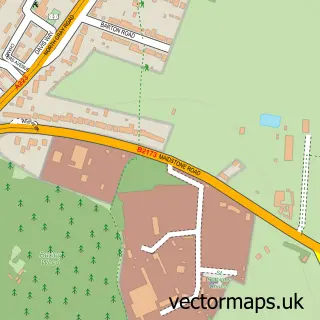

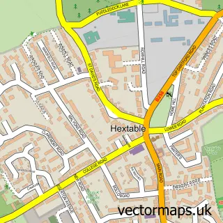
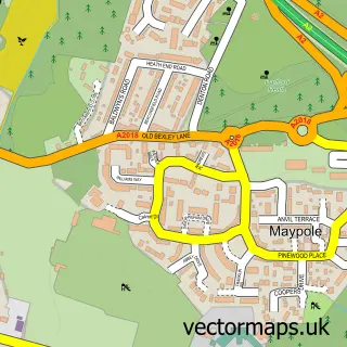
More street maps in Greater London
750 metre map area coverage
Boundary, postcode and point of interest information for the 750m x 750m rectangle centred on this sample map.
Boundaries containing map centre
Constituency: Old Bexley and Sidcup Boro Const
County: Greater London Authority
District: Bexley London Boro
Icb: NHS South East London ICB
Police Force: metropolitan
Postcode District: DA14
Postcode Sector: DA14 5
Nearby boundaries intersecting sample
Constituency: Dartford Co Const, Orpington Boro Const
County: Kent County
District: Bromley London Boro, Dartford District (B)
Postcode District: BR8
Postcode Sector: BR8 7
Ward: Joyden's Wood Ward, St. Mary's & St. James Ward, St. Paul's Cray Ward
Postcode coverage
POI category counts
Atms: 1
Bakery: 1
Construction Services: 1
Convenience Store: 1
Fast Food Restaurant: 1
Gas Station: 1
Hotel: 1
Package Locker: 1
Pet Boarding: 1
Printing Services: 1
Sample points of interest
- Rontec - Swanley
- West Cornwall Pasty Co
- Econ Group Ltd
- Spar
- McDonald's
- Bp
- Ruxley Rooms
- InPost
- Upper Ruxley Cattery
- The Rob Knox Foundation
- Costa Express
- Greggs
Create a larger editable map of Upper Ruxley
This sample shows only a 750 metre area. To create a larger map of Upper Ruxley, use our map builder to choose your own coverage area, add titles and download editable SVG, PDF and PNG files.
Create a custom map of Upper Ruxley