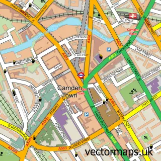
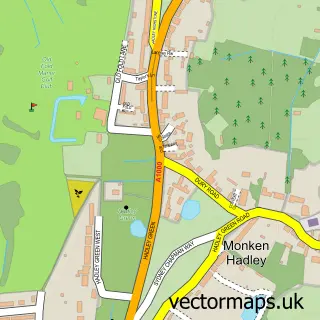
This City of London street map is a detailed vector street map covering a 750m x 750m area. Select a larger area to create and download your own vector street map of City of London.
The 750-metre map sample for City of London covers 96 mapped buildings and approximately 26.5 km of road detail, of which 81 named roads are named. The immediate area includes 2 schools, 2 railway stations, 55 GP surgeries within 2 miles and 29 pubs among other local services. The wider area around City of London features 38 tourism points of interest, 128 food and drink venues and 18 hotels. To create a larger or custom map of City of London, the map builder lets you define your own coverage area and download editable SVG, PDF and PNG files.
Create a larger editable map of City of London
Choose any area you need and generate a high-quality vector map instantly. Perfect for print, planning, design, business and personal use.

This City of London street map in City and County of the City of London is available as downloadable SVG, PDF and PNG map files, or as a printed map for planning, business, display, education, local information and design work. You can also create a larger custom map area using the map selector.
What this City of London map sample shows
City of London lies within Greater London Authority parish, part of Castle Baynard ward in the City And County Of The City Of London local authority area. Residents fall under the Nhs North East London Integrated Care Board for NHS services.
Local features near City of London
Within 2 milesAmenities and services in and around City of London.
Administrative and postcode information for City of London
The local authority covering City of London is City And County Of The City Of London, within the county of City And County Of The City Of London. The settlement lies within Castle Baynard ward and Greater London Authority civil parish. NHS provision in the area is delivered through Barts Health Nhs Trust.
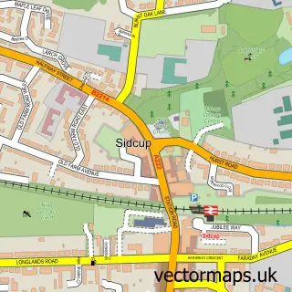
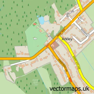
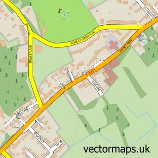
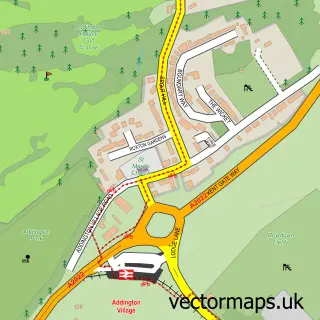
Nearby street map samples around City of London
750 metre map area coverage
Boundary, postcode and point of interest information for the 750m x 750m rectangle centred on this sample map.
Boundaries containing map centre
Constituency: Cities of London and Westminster Boro Const
County: Greater London Authority
District: City and County of the City of London
Icb: NHS North East London ICB
Police Force: city of london
Postcode District: EC2V
Postcode Sector: EC2V 5
Ward: Bassishaw Ward, Cheap Ward
Nearby boundaries intersecting sample
Icb: NHS West and North London IC
Postcode District: EC1A, EC2M, EC2N, EC2R, EC2Y, EC3V
Postcode Sector: EC1A 4, EC1A 7, EC2M 5, EC2M 6, EC2M 7, EC2N 2
Ward: Aldersgate Ward, Bread Street Ward, Broad Street Ward, Candlewick Ward, Castle Baynard Ward, Coleman Street Ward
Postcode coverage
POI category counts
Professional Services: 157
Financial Service: 141
Employment Agencies: 93
Corporate Office: 80
Software Development: 57
Bank Credit Union: 51
Event Planning: 49
Business Management Services: 48
Coffee Shop: 47
Lawyer: 38
Sample points of interest
- Maddison Rooftop Bar
- 1Office UK
- Accountancy Divisions Llp
- Assure UK
- BTVK Advisory, LLP
- Baker Tilly
- Boffix Ltd
- Buzzacott
- Carey Olsen
- Chariot House Ltd
- Deloitte LLP
- ICAEW
Create a larger editable map of City of London
This sample shows only a 750 metre area. To create a larger map of City of London, use our map builder to choose your own coverage area, add titles and download editable SVG, PDF and PNG files.
Create a custom map of City of London