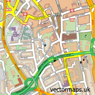
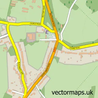
This Addington street map is a detailed vector street map covering a 750m x 750m area. Select a larger area to create and download your own vector street map of Addington.
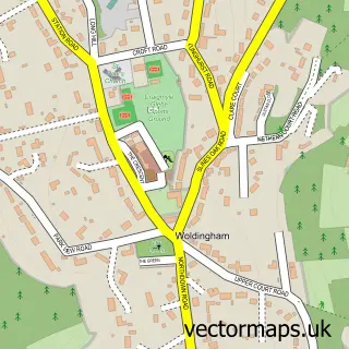
The 750-metre map sample for Addington covers 95 mapped buildings and approximately 10.0 km of road detail, of which 8 named roads are named. The immediate area includes 1 railway station, 12 GP surgeries within 2 miles, 1 pub and 5 MOT stations within 2 miles. The wider area around Addington features 2 tourism points of interest and 2 food and drink venues. To create a larger or custom map of Addington, the map builder lets you define your own coverage area and download editable SVG, PDF and PNG files.
Create a larger editable map of Addington
Choose any area you need and generate a high-quality vector map instantly. Perfect for print, planning, design, business and personal use.

This Addington street map in Greater London is available as downloadable SVG, PDF and PNG map files, or as a printed map for planning, business, display, education, local information and design work. You can also create a larger custom map area using the map selector.
What this Addington map sample shows
Addington lies within Greater London Authority parish, part of Selsdon & Addington Village ward in the Croydon London Boro local authority area. The postcode geography for this area includes the CR postcode area, the CR0 postcode district and the CR0 9 postcode sector. Residents fall under the Nhs South West London Integrated Care Board for NHS services.
Local features near Addington
Within 2 milesAmenities and services in and around Addington.
Administrative and postcode information for Addington
Addington lies within Greater London Authority parish, part of Selsdon & Addington Village ward in the Croydon London Boro local authority area. The postcode geography for this area includes the CR postcode area, the CR0 postcode district and the CR0 9 postcode sector. Residents fall under the Nhs South West London Integrated Care Board for NHS services.
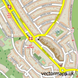
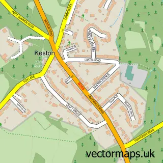
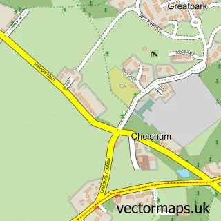
Nearby street map samples around Addington

More street maps in Greater London
750 metre map area coverage
Boundary, postcode and point of interest information for the 750m x 750m rectangle centred on this sample map.
Boundaries containing map centre
Constituency: Croydon East Boro Const
County: Greater London Authority
District: Croydon London Boro
Icb: NHS South West London ICB
Police Force: metropolitan
Postcode District: CR0
Postcode Sector: CR0 5
Ward: Selsdon & Addington Village Ward
Nearby boundaries intersecting sample
Postcode Sector: CR0 9
Ward: New Addington North Ward
Postcode coverage
POI category counts
Bar: 3
Anglican Church: 2
Park: 2
American Restaurant: 1
British Restaurant: 1
Church Cathedral: 1
Coffee Shop: 1
Commercial Industrial: 1
Event Planning: 1
Fashion: 1
Sample points of interest
- The Cricketers Croydon
- Addington, St Mary the Blessed Virgin
- St Mary The Blessed Virgin, Addington
- Harvester Cricketers Croydon
- Harvester Cricketers Croydon
- The Cricketers Harvester
- The Cricketers (Harvester)
- St. Mary the Blessed Virgin
- Costa Express
- E J Collins & Son
- St Mary's Church Hall
- Franks Pants
Create a larger editable map of Addington
This sample shows only a 750 metre area. To create a larger map of Addington, use our map builder to choose your own coverage area, add titles and download editable SVG, PDF and PNG files.
Create a custom map of Addington