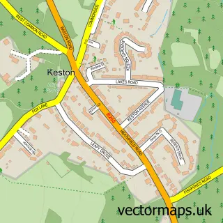
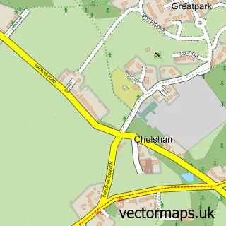
This Leaves Green street map is a detailed vector street map covering a 750m x 750m area. Select a larger area to create and download your own vector street map of Leaves Green.
The 750-metre map sample for Leaves Green covers 165 mapped buildings and approximately 7.6 km of road detail, of which 7 named roads are named. The immediate area includes 2 GP surgeries within 2 miles and 6 MOT stations within 2 miles. The wider area around Leaves Green features 1 tourism point of interest. To create a larger or custom map of Leaves Green, the map builder lets you define your own coverage area and download editable SVG, PDF and PNG files.
Create a larger editable map of Leaves Green
Choose any area you need and generate a high-quality vector map instantly. Perfect for print, planning, design, business and personal use.

This Leaves Green street map in Greater London is available as downloadable SVG, PDF and PNG map files, or as a printed map for planning, business, display, education, local information and design work. You can also create a larger custom map area using the map selector.
What this Leaves Green map sample shows
Leaves Green lies within Greater London Authority parish, part of Darwin ward in the Bromley London Boro local authority area. The postcode geography for this area includes the BR postcode area, the BR2 postcode district and the BR2 6 postcode sector. Residents fall under the Nhs South East London Integrated Care Board for NHS services.
Local features near Leaves Green
Within 2 milesAmenities and services in and around Leaves Green.
Administrative and postcode information for Leaves Green
The local authority covering Leaves Green is Bromley London Boro, within the county of Greater London. The settlement lies within Darwin ward and Greater London Authority civil parish. The BR2 postcode district and BR2 6 postcode sector serve the immediate area. NHS provision in the area is delivered through King's College Hospital Nhs Foundation Trust.
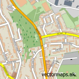
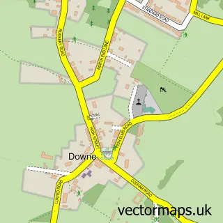
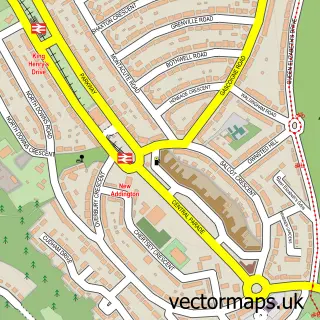
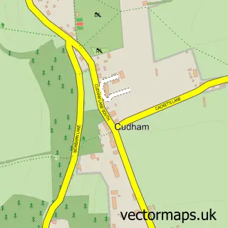
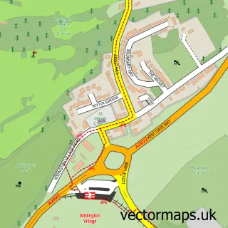
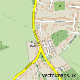
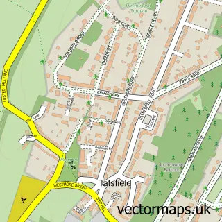
Nearby street map samples around Leaves Green

More street maps in Greater London
750 metre map area coverage
Boundary, postcode and point of interest information for the 750m x 750m rectangle centred on this sample map.
Boundaries containing map centre
Constituency: Bromley and Biggin Hill Boro Const
County: Greater London Authority
District: Bromley London Boro
Icb: NHS South East London ICB
Police Force: metropolitan
Postcode District: BR2
Postcode Sector: BR2 6
Ward: Darwin Ward
Nearby boundaries intersecting sample
Constituency: Orpington Boro Const
Ward: Bromley Common & Holwood Ward, Hayes & Coney Hall Ward
Postcode coverage
POI category counts
Contractor: 2
Auto Restoration Services: 1
Building Contractor: 1
Business To Business: 1
Campground: 1
Church Cathedral: 1
Construction Services: 1
Driving School: 1
Electrician: 1
Furniture Manufacturers: 1
Sample points of interest
- The VW Engine Company
- Out of Reach Window Cleaning
- Kingsway Group
- Wilberforce Scout Centre
- Keston Parish Church
- Robust Developments
- Bartlett Joinery
- Smart Surfacing Solutions
- 1st Class Driving
- K.M.T Electrics
- Strada London
- Wilgro Worm Farm
Create a larger editable map of Leaves Green
This sample shows only a 750 metre area. To create a larger map of Leaves Green, use our map builder to choose your own coverage area, add titles and download editable SVG, PDF and PNG files.
Create a custom map of Leaves Green