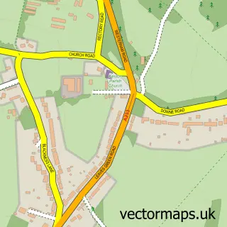
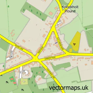
This Downe street map is a detailed vector street map covering a 750m x 750m area. Select a larger area to create and download your own vector street map of Downe.
The 750-metre map sample for Downe covers 132 mapped buildings and approximately 8.0 km of road detail, of which 10 named roads are named. The immediate area includes 1 school, 6 GP surgeries within 2 miles, 3 pubs and 7 MOT stations within 2 miles. The wider area around Downe features 6 food and drink venues. To create a larger or custom map of Downe, the map builder lets you define your own coverage area and download editable SVG, PDF and PNG files.
Create a larger editable map of Downe
Choose any area you need and generate a high-quality vector map instantly. Perfect for print, planning, design, business and personal use.

This Downe street map in Greater London is available as downloadable SVG, PDF and PNG map files, or as a printed map for planning, business, display, education, local information and design work. You can also create a larger custom map area using the map selector.
What this Downe map sample shows
Downe lies within Greater London Authority parish, part of Darwin ward in the Bromley London Boro local authority area. The postcode geography for this area includes the BR postcode area, the BR6 postcode district and the BR6 7 postcode sector. Residents fall under the Nhs South East London Integrated Care Board for NHS services.
Local features near Downe
Within 2 milesAmenities and services in and around Downe.
Administrative and postcode information for Downe
The local authority covering Downe is Bromley London Boro, within the county of Greater London. The settlement lies within Darwin ward and Greater London Authority civil parish. The BR6 postcode district and BR6 7 postcode sector serve the immediate area. NHS provision in the area is delivered through King's College Hospital Nhs Foundation Trust.
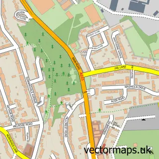
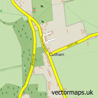
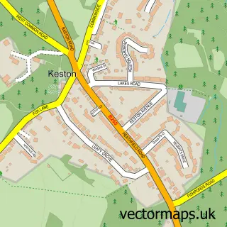
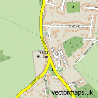
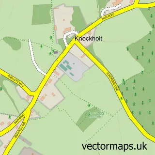
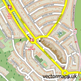
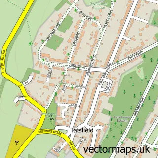
Nearby street map samples around Downe

More street maps in Greater London
750 metre map area coverage
Boundary, postcode and point of interest information for the 750m x 750m rectangle centred on this sample map.
Boundaries containing map centre
Constituency: Orpington Boro Const
County: Greater London Authority
District: Bromley London Boro
Icb: NHS South East London ICB
Police Force: metropolitan
Postcode District: BR6
Postcode Sector: BR6 7
Ward: Darwin Ward
Nearby boundaries intersecting sample
No additional intersecting boundaries found.
Postcode coverage
POI category counts
Pub: 3
Restaurant: 3
Anglican Church: 1
Campus Building: 1
Child Care And Day Care: 1
Church Cathedral: 1
Community Center: 1
Contractor: 1
Education: 1
Elementary School: 1
Sample points of interest
- Downe: St Mary Magdalene
- London metropolitan university
- Day Camp
- St Mary's Church
- Downe Village Hall
- Infinity Interiors
- London Borough of Bromley Council
- Downe Primary School
- Christmas Tree Farm
- Downe Livery Stables
- The Rajdoot Tandoori
- George & Dragon
Create a larger editable map of Downe
This sample shows only a 750 metre area. To create a larger map of Downe, use our map builder to choose your own coverage area, add titles and download editable SVG, PDF and PNG files.
Create a custom map of Downe