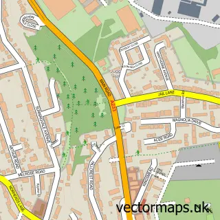
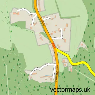
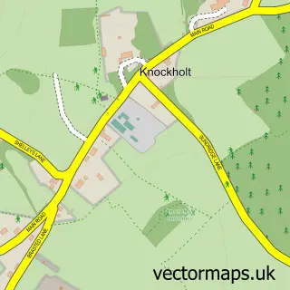
This Tatsfield street map is a detailed vector street map covering a 750m x 750m area. Select a larger area to create and download your own vector street map of Tatsfield.
The 750-metre map sample for Tatsfield covers 302 mapped buildings and approximately 13.6 km of road detail, of which 26 named roads are named. The immediate area includes 2 GP surgeries within 2 miles, 2 pubs and 1 MOT station, with 4 within 2 miles. The wider area around Tatsfield features 3 tourism points of interest and 2 food and drink venues. To create a larger or custom map of Tatsfield, the map builder lets you define your own coverage area and download editable SVG, PDF and PNG files.
Create a larger editable map of Tatsfield
Choose any area you need and generate a high-quality vector map instantly. Perfect for print, planning, design, business and personal use.

This Tatsfield street map in Surrey is available as downloadable SVG, PDF and PNG map files, or as a printed map for planning, business, display, education, local information and design work. You can also create a larger custom map area using the map selector.
What this Tatsfield map sample shows
Tatsfield lies within Tatsfield Cp parish, part of Tatsfield And Titsey ward in the Tandridge District local authority area. The postcode geography for this area includes the TN postcode area, the TN16 postcode district and the TN16 2 postcode sector. Residents fall under the Nhs Surrey Heartlands Integrated Care Board for NHS services.
Local features near Tatsfield
Within 2 milesAmenities and services in and around Tatsfield.
Administrative and postcode information for Tatsfield
The local authority covering Tatsfield is Tandridge District, within the county of Surrey. The settlement lies within Tatsfield And Titsey ward and Tatsfield Cp civil parish. The TN16 postcode district and TN16 2 postcode sector serve the immediate area. NHS provision in the area is delivered through Surrey And Sussex Healthcare Nhs Trust.
Nearby street map samples around Tatsfield

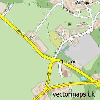
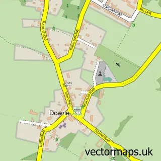
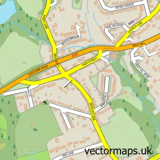
More street maps in Surrey
750 metre map area coverage
Boundary, postcode and point of interest information for the 750m x 750m rectangle centred on this sample map.
Boundaries containing map centre
Constituency: East Surrey Co Const
County: Surrey County
District: Tandridge District
Icb: NHS Surrey and Sussex ICB
Parish: Tatsfield CP
Police Force: surrey
Postcode District: TN16
Postcode Sector: TN16 2
Ward: Tatsfield & Titsey Ward
Nearby boundaries intersecting sample
Constituency: Bromley and Biggin Hill Boro Const
County: Greater London Authority
District: Bromley London Boro
Icb: NHS South East London ICB
Police Force: metropolitan
Ward: Biggin Hill Ward
Postcode coverage
POI category counts
Building Supply Store: 2
Financial Advising: 2
Park: 2
Post Office: 2
Preschool: 2
Printing Services: 2
Pub: 2
Alternative Medicine: 1
Apartments: 1
Attractions And Activities: 1
Sample points of interest
- The Hartlands Centre
- Greenwoods
- Tatsfield Allotment
- Tatsfield Garage Ltd
- The Bakery
- The Summer House
- Gardening Services Tatsfield
- Greenwoods
- Lukes Engineering Co. Ltd.
- Tatsfield Village Hall
- The Chartwell Cancer Trust
- Biggin Renovations Group
Create a larger editable map of Tatsfield
This sample shows only a 750 metre area. To create a larger map of Tatsfield, use our map builder to choose your own coverage area, add titles and download editable SVG, PDF and PNG files.
Create a custom map of Tatsfield