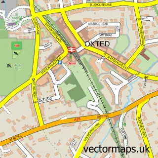
This Old Oxted street map is a detailed vector street map covering a 750m x 750m area. Select a larger area to create and download your own vector street map of Old Oxted.
The 750-metre map sample for Old Oxted covers 285 mapped buildings and approximately 12.2 km of road detail, of which 17 named roads are named. The immediate area includes 1 GP surgery within 2 miles, 5 pubs and 1 MOT station, with 4 within 2 miles. The wider area around Old Oxted features 6 food and drink venues. To create a larger or custom map of Old Oxted, the map builder lets you define your own coverage area and download editable SVG, PDF and PNG files.
Create a larger editable map of Old Oxted
Choose any area you need and generate a high-quality vector map instantly. Perfect for print, planning, design, business and personal use.

This Old Oxted street map in Surrey is available as downloadable SVG, PDF and PNG map files, or as a printed map for planning, business, display, education, local information and design work. You can also create a larger custom map area using the map selector.
What this Old Oxted map sample shows
Old Oxted lies within Oxted Cp parish, part of Oxted North And Tandridge ward in the Tandridge District local authority area. The postcode geography for this area includes the RH postcode area, the RH8 postcode district and the RH8 9 postcode sector. Residents fall under the Nhs Surrey Heartlands Integrated Care Board for NHS services.
Local features near Old Oxted
Within 2 milesAmenities and services in and around Old Oxted.
Administrative and postcode information for Old Oxted
Old Oxted lies within Oxted Cp parish, part of Oxted North And Tandridge ward in the Tandridge District local authority area. The postcode geography for this area includes the RH postcode area, the RH8 postcode district and the RH8 9 postcode sector. Residents fall under the Nhs Surrey Heartlands Integrated Care Board for NHS services.
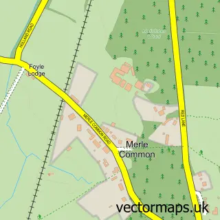
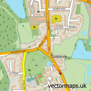
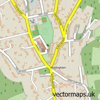
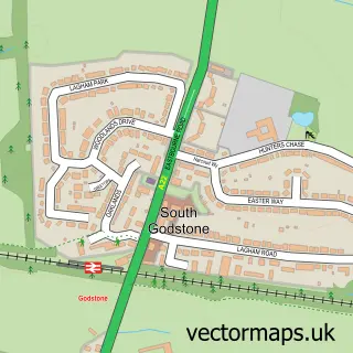
Nearby street map samples around Old Oxted

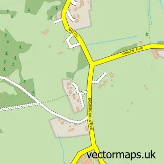
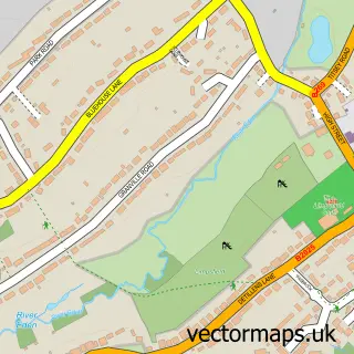
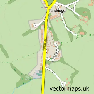
More street maps in Surrey
750 metre map area coverage
Boundary, postcode and point of interest information for the 750m x 750m rectangle centred on this sample map.
Boundaries containing map centre
Constituency: East Surrey Co Const
County: Surrey County
District: Tandridge District
Icb: NHS Surrey and Sussex ICB
Parish: Oxted CP
Police Force: surrey
Postcode District: RH8
Postcode Sector: RH8 9
Ward: Oxted North Ward
Nearby boundaries intersecting sample
No additional intersecting boundaries found.
Postcode coverage
POI category counts
Pub: 5
Gas Station: 4
Electrician: 3
Automotive Repair: 2
Employment Agencies: 2
Package Locker: 2
Printing Equipment And Supply: 2
Printing Services: 2
Real Estate Agent: 2
Advertising Agency: 1
Sample points of interest
- Republica Communications
- ESSO Old Oxted (Rontec)
- D P Storrier
- Riemans
- Bellartistry Lash and Brows
- UK Taxi Service
- Centre for Expert Change
- Thrive Future
- First Church of Christ Scientist
- Costa Express
- Shop 'N Drive
- H S Electrics
Create a larger editable map of Old Oxted
This sample shows only a 750 metre area. To create a larger map of Old Oxted, use our map builder to choose your own coverage area, add titles and download editable SVG, PDF and PNG files.
Create a custom map of Old Oxted