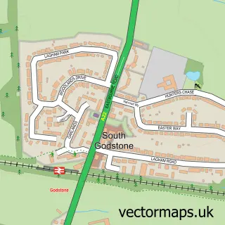
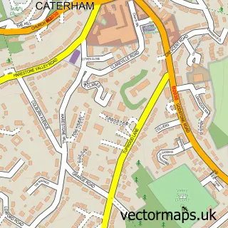
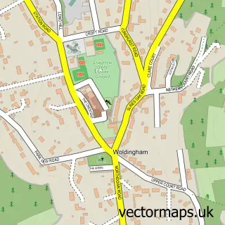
This Godstone street map is a detailed vector street map covering a 750m x 750m area. Select a larger area to create and download your own vector street map of Godstone.
The 750-metre map sample for Godstone covers 269 mapped buildings and approximately 9.6 km of road detail, of which 21 named roads are named. The immediate area includes 1 school, 1 GP surgery, 5 pubs and 1 MOT station, with 2 within 2 miles. The wider area around Godstone features 4 tourism points of interest and 9 food and drink venues. To create a larger or custom map of Godstone, the map builder lets you define your own coverage area and download editable SVG, PDF and PNG files.
Create a larger editable map of Godstone
Choose any area you need and generate a high-quality vector map instantly. Perfect for print, planning, design, business and personal use.

This Godstone street map in Surrey is available as downloadable SVG, PDF and PNG map files, or as a printed map for planning, business, display, education, local information and design work. You can also create a larger custom map area using the map selector.
What this Godstone map sample shows
Godstone lies within Godstone Cp parish, part of Godstone ward in the Tandridge District local authority area. The postcode geography for this area includes the RH postcode area, the RH9 postcode district and the RH9 8 postcode sector. Residents fall under the Nhs Surrey Heartlands Integrated Care Board for NHS services.
Local features near Godstone
Within 2 milesAmenities and services in and around Godstone.
Administrative and postcode information for Godstone
The local authority covering Godstone is Tandridge District, within the county of Surrey. The settlement lies within Godstone ward and Godstone Cp civil parish. The RH9 postcode district and RH9 8 postcode sector serve the immediate area. NHS provision in the area is delivered through Surrey And Sussex Healthcare Nhs Trust.
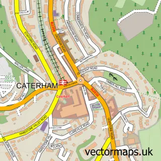
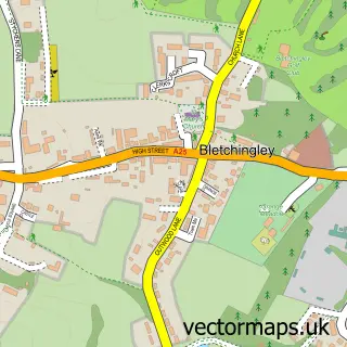
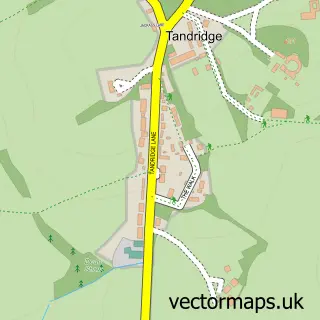
Nearby street map samples around Godstone

More street maps in Surrey
750 metre map area coverage
Boundary, postcode and point of interest information for the 750m x 750m rectangle centred on this sample map.
Boundaries containing map centre
Constituency: East Surrey Co Const
County: Surrey County
District: Tandridge District
Icb: NHS Surrey and Sussex ICB
Parish: Godstone CP
Police Force: surrey
Postcode District: RH9
Postcode Sector: RH9 8
Ward: Godstone Ward
Nearby boundaries intersecting sample
Parish: Bletchingley CP
Ward: Bletchingley & Nutfield Ward
Postcode coverage
POI category counts
Pub: 5
Dentist: 4
Doctor: 4
Automotive Repair: 3
Cafe: 3
Hair Salon: 3
Park: 3
Professional Services: 3
Beauty And Spa: 2
Bridal Shop: 2
Sample points of interest
- Godstone Football Club
- Godstone Emporium
- Nexus Machines Ltd.
- D D Services Godstone
- Godstone Mercedes
- Godstone Motors
- Coughlans Bakery
- Star Barbers
- Beautiful Pretty Soul
- Godstone Beauty Room
- Bridesmaids Boutique Ltd.
- Utopia Brides
Create a larger editable map of Godstone
This sample shows only a 750 metre area. To create a larger map of Godstone, use our map builder to choose your own coverage area, add titles and download editable SVG, PDF and PNG files.
Create a custom map of Godstone