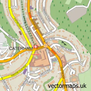
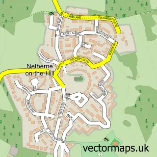
This Caterham Valley street map is a detailed vector street map covering a 750m x 750m area. Select a larger area to create and download your own vector street map of Caterham Valley.
The 750-metre map sample for Caterham Valley covers 413 mapped buildings and approximately 17.8 km of road detail, of which 38 named roads are named. The immediate area includes 1 GP surgery, 1 pub and 1 MOT station, with 6 within 2 miles. The wider area around Caterham Valley features 4 tourism points of interest and 5 food and drink venues. To create a larger or custom map of Caterham Valley, the map builder lets you define your own coverage area and download editable SVG, PDF and PNG files.
Create a larger editable map of Caterham Valley
Choose any area you need and generate a high-quality vector map instantly. Perfect for print, planning, design, business and personal use.

This Caterham Valley street map in Surrey is available as downloadable SVG, PDF and PNG map files, or as a printed map for planning, business, display, education, local information and design work. You can also create a larger custom map area using the map selector.
What this Caterham Valley map sample shows
Caterham Valley lies within Caterham Valley Cp parish, part of Valley ward in the Tandridge District local authority area. The postcode geography for this area includes the CR postcode area, the CR3 postcode district and the CR3 6 postcode sector. Residents fall under the Nhs Surrey Heartlands Integrated Care Board for NHS services.
Local features near Caterham Valley
Within 2 milesAmenities and services in and around Caterham Valley.
Administrative and postcode information for Caterham Valley
The local authority covering Caterham Valley is Tandridge District, within the county of Surrey. The settlement lies within Valley ward and Caterham Valley Cp civil parish. The CR3 postcode district and CR3 6 postcode sector serve the immediate area. NHS provision in the area is delivered through Surrey And Sussex Healthcare Nhs Trust.
Nearby street map samples around Caterham Valley

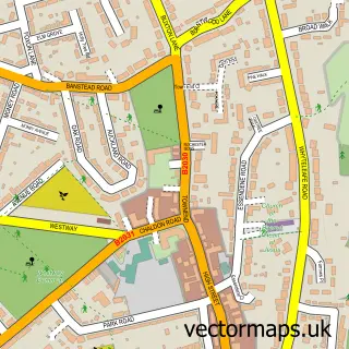
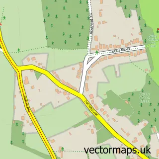
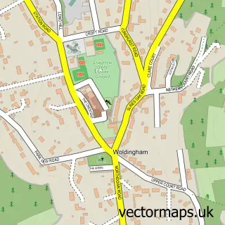
More street maps in Surrey
750 metre map area coverage
Boundary, postcode and point of interest information for the 750m x 750m rectangle centred on this sample map.
Boundaries containing map centre
Constituency: East Surrey Co Const
County: Surrey County
District: Tandridge District
Icb: NHS Surrey and Sussex ICB
Parish: Caterham Valley CP
Police Force: surrey
Postcode District: CR3
Postcode Sector: CR3 6
Ward: Harestone Ward
Nearby boundaries intersecting sample
Parish: Caterham-on-the-Hill CP
Ward: Portley & Queens Park Ward, Valley Ward
Postcode coverage
POI category counts
Real Estate Agent: 6
Professional Services: 4
Bakery: 3
Building Supply Store: 3
Coffee Shop: 3
Construction Services: 3
Contractor: 3
Indian Restaurant: 3
Park: 3
Retail: 3
Sample points of interest
- Bourne Accountancy
- TLC Accounting Ltd
- Car & Classic
- Pyott Design Consultants
- St John's Church
- Odyssey Sales
- Florence Fortley
- John Jordan
- Pan Guru
- Heronswood Residential Care Home
- Regard Partnership
- Cashpoint® 21 Station Avenue
Create a larger editable map of Caterham Valley
This sample shows only a 750 metre area. To create a larger map of Caterham Valley, use our map builder to choose your own coverage area, add titles and download editable SVG, PDF and PNG files.
Create a custom map of Caterham Valley