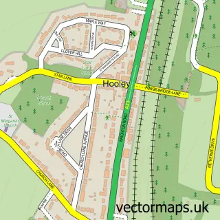
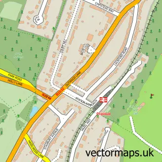
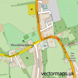
This Netherne-on-the-Hill street map is a detailed vector street map covering a 750m x 750m area. Select a larger area to create and download your own vector street map of Netherne-on-the-Hill.
The 750-metre map sample for Netherne-on-the-Hill covers 262 mapped buildings and approximately 12.8 km of road detail, of which 23 named roads are named. The immediate area includes 1 GP surgery within 2 miles and 7 MOT stations within 2 miles. The wider area around Netherne-on-the-Hill features 1 tourism point of interest and 1 campsite within 2 miles. To create a larger or custom map of Netherne-on-the-Hill, the map builder lets you define your own coverage area and download editable SVG, PDF and PNG files.
Create a larger editable map of Netherne-on-the-Hill
Choose any area you need and generate a high-quality vector map instantly. Perfect for print, planning, design, business and personal use.

This Netherne-on-the-Hill street map in Surrey is available as downloadable SVG, PDF and PNG map files, or as a printed map for planning, business, display, education, local information and design work. You can also create a larger custom map area using the map selector.
What this Netherne-on-the-Hill map sample shows
Netherne-on-the-Hill lies within Surrey County parish, part of Hooley, Merstham & Netherne ward in the Reigate And Banstead District (B) local authority area. The postcode geography for this area includes the CR postcode area, the CR5 postcode district and the CR5 1 postcode sector. Residents fall under the Nhs Surrey Heartlands Integrated Care Board for NHS services.
Local features near Netherne-on-the-Hill
Within 2 milesAmenities and services in and around Netherne-on-the-Hill.
Administrative and postcode information for Netherne-on-the-Hill
The local authority covering Netherne-on-the-Hill is Reigate And Banstead District (B), within the county of Surrey. The settlement lies within Hooley, Merstham & Netherne ward and Surrey County civil parish. The CR5 postcode district and CR5 1 postcode sector serve the immediate area. NHS provision in the area is delivered through Epsom And St Helier University Hospitals Nhs Trust.
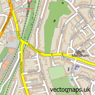
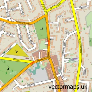
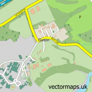
Nearby street map samples around Netherne-on-the-Hill
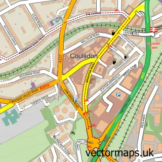

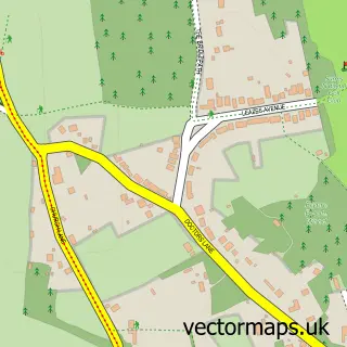
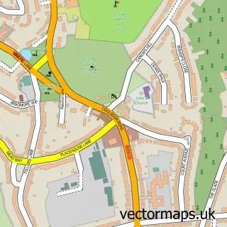
More street maps in Surrey
750 metre map area coverage
Boundary, postcode and point of interest information for the 750m x 750m rectangle centred on this sample map.
Boundaries containing map centre
Constituency: East Surrey Co Const
County: Surrey County
District: Reigate and Banstead District (B)
Icb: NHS Surrey and Sussex ICB
Police Force: surrey
Postcode District: CR5
Postcode Sector: CR5 1
Ward: Hooley, Merstham & Netherne Ward
Nearby boundaries intersecting sample
No additional intersecting boundaries found.
Postcode coverage
POI category counts
Newspaper And Magazines Store: 3
Clothing Store: 2
Arts And Entertainment: 1
Assisted Living Facility: 1
Bridal Shop: 1
Community Center: 1
Construction Services: 1
Convenience Store: 1
Corporate Entertainment Services: 1
Driving School: 1
Sample points of interest
- Sarah Warren Art
- Inspirations
- Enjoy Your Day
- Coast Stores
- Phase Eight
- Netherne Village Hall
- Q Drains Ltd
- Netherne Village Store
- Great Britains Best Elvis
- SGP Driving
- Thoughtify
- Netherne Hospital
Create a larger editable map of Netherne-on-the-Hill
This sample shows only a 750 metre area. To create a larger map of Netherne-on-the-Hill, use our map builder to choose your own coverage area, add titles and download editable SVG, PDF and PNG files.
Create a custom map of Netherne-on-the-Hill