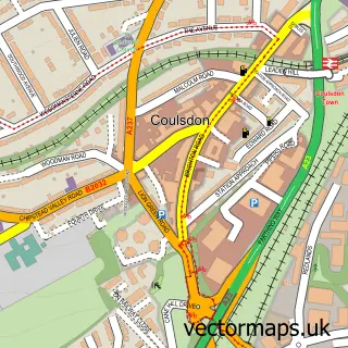
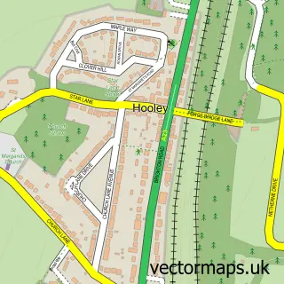
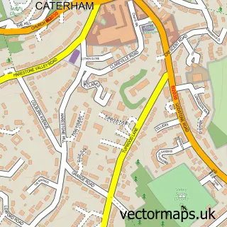
This Old Coulsdon street map is a detailed vector street map covering a 750m x 750m area. Select a larger area to create and download your own vector street map of Old Coulsdon.
The 750-metre map sample for Old Coulsdon covers 309 mapped buildings and approximately 14.0 km of road detail, of which 17 named roads are named. The immediate area includes 2 schools, 1 GP surgery, with 2 within 2 miles, 1 pub and 13 MOT stations within 2 miles. The wider area around Old Coulsdon features 2 tourism points of interest, 4 food and drink venues and 1 hotel. To create a larger or custom map of Old Coulsdon, the map builder lets you define your own coverage area and download editable SVG, PDF and PNG files.
Create a larger editable map of Old Coulsdon
Choose any area you need and generate a high-quality vector map instantly. Perfect for print, planning, design, business and personal use.

This Old Coulsdon street map in Greater London is available as downloadable SVG, PDF and PNG map files, or as a printed map for planning, business, display, education, local information and design work. You can also create a larger custom map area using the map selector.
What this Old Coulsdon map sample shows
Old Coulsdon lies within Greater London Authority parish, part of Coulsdon Town ward in the Croydon London Boro local authority area. The postcode geography for this area includes the CR postcode area, the CR5 postcode district and the CR5 2 postcode sector. Residents fall under the Nhs South West London Integrated Care Board for NHS services.
Local features near Old Coulsdon
Within 2 milesAmenities and services in and around Old Coulsdon.
Administrative and postcode information for Old Coulsdon
The local authority covering Old Coulsdon is Croydon London Boro, within the county of Greater London. The settlement lies within Coulsdon Town ward and Greater London Authority civil parish. The CR5 postcode district and CR5 2 postcode sector serve the immediate area. NHS provision in the area is delivered through Croydon Health Services Nhs Trust.
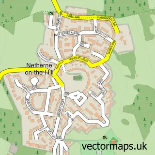
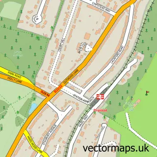
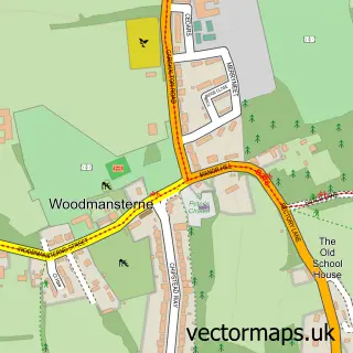
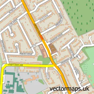
Nearby street map samples around Old Coulsdon

More street maps in Greater London
750 metre map area coverage
Boundary, postcode and point of interest information for the 750m x 750m rectangle centred on this sample map.
Boundaries containing map centre
Constituency: Croydon South Boro Const
County: Greater London Authority
District: Croydon London Boro
Icb: NHS South West London ICB
Police Force: metropolitan
Postcode District: CR5
Postcode Sector: CR5 1
Ward: Old Coulsdon Ward
Nearby boundaries intersecting sample
Postcode Sector: CR5 2
Postcode coverage
POI category counts
Building Supply Store: 3
Church Cathedral: 3
Atms: 2
Barber: 2
Cafe: 2
Contractor: 2
Convenience Store: 2
Dentist: 2
Elementary School: 2
Gym: 2
Sample points of interest
- Coulsdon, St John the Evangelist
- Morrisons Daily - Coulsdon The Parade , Coulsdon Road
- Old Coulsdon Village Store (ATMP)
- Tudor Bakery
- Next Level Barbers
- Platinum Barbers
- Pigment.lab
- Coral
- Andrew Miller Gardens
- Darren Waterer Window & Cleaning Services
- Guardworth Installations Ltd.
- Pure Project Solutions
Create a larger editable map of Old Coulsdon
This sample shows only a 750 metre area. To create a larger map of Old Coulsdon, use our map builder to choose your own coverage area, add titles and download editable SVG, PDF and PNG files.
Create a custom map of Old Coulsdon