This Chaldon street map is a detailed vector street map covering a 750m x 750m area. Select a larger area to create and download your own vector street map of Chaldon.
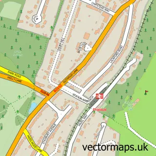
The 750-metre map sample for Chaldon covers 145 mapped buildings and approximately 8.3 km of road detail, of which 5 named roads are named. The immediate area includes 2 GP surgeries within 2 miles and 5 MOT stations within 2 miles. The wider area around Chaldon features 1 campsite within 2 miles. To create a larger or custom map of Chaldon, the map builder lets you define your own coverage area and download editable SVG, PDF and PNG files.
Create a larger editable map of Chaldon
Choose any area you need and generate a high-quality vector map instantly. Perfect for print, planning, design, business and personal use.

This Chaldon street map in Surrey is available as downloadable SVG, PDF and PNG map files, or as a printed map for planning, business, display, education, local information and design work. You can also create a larger custom map area using the map selector.
What this Chaldon map sample shows
Chaldon lies within Chaldon Cp parish, part of Chaldon ward in the Tandridge District local authority area. The postcode geography for this area includes the CR postcode area, the CR3 postcode district and the CR3 5 postcode sector. Residents fall under the Nhs Surrey Heartlands Integrated Care Board for NHS services.
Local features near Chaldon
Within 2 milesAmenities and services in and around Chaldon.
Administrative and postcode information for Chaldon
Chaldon lies within Chaldon Cp parish, part of Chaldon ward in the Tandridge District local authority area. The postcode geography for this area includes the CR postcode area, the CR3 postcode district and the CR3 5 postcode sector. Residents fall under the Nhs Surrey Heartlands Integrated Care Board for NHS services.
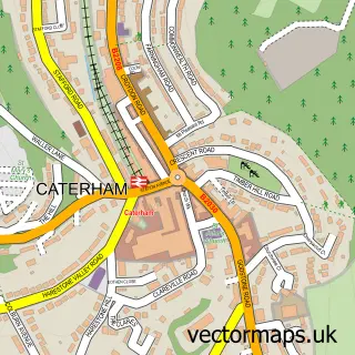
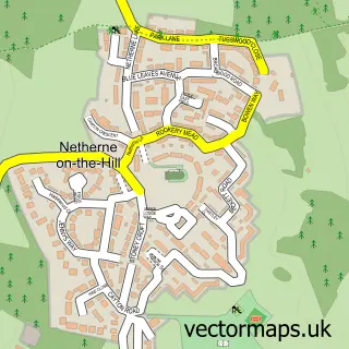
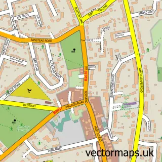
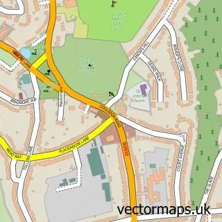
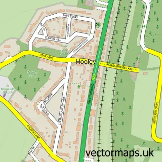
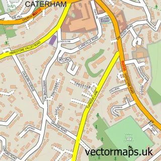
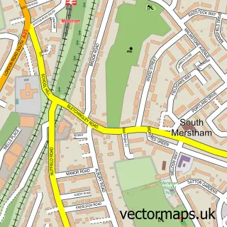
Nearby street map samples around Chaldon

More street maps in Surrey
750 metre map area coverage
Boundary, postcode and point of interest information for the 750m x 750m rectangle centred on this sample map.
Boundaries containing map centre
Constituency: East Surrey Co Const
County: Surrey County
District: Tandridge District
Icb: NHS Surrey and Sussex ICB
Parish: Chaldon CP
Police Force: surrey
Postcode District: CR3
Postcode Sector: CR3 5
Ward: Chaldon Ward
Nearby boundaries intersecting sample
Constituency: Croydon South Boro Const
County: Greater London Authority
District: Croydon London Boro
Icb: NHS South West London ICB
Police Force: metropolitan
Postcode District: CR5
Postcode Sector: CR5 1
Ward: Old Coulsdon Ward
Postcode coverage
POI category counts
Professional Services: 3
Foster Care Services: 2
Automotive Parts And Accessories: 1
Home Service: 1
Sample points of interest
- ExpertTuning
- Glebe Care Ltd.
- Glebe House Nursing Home
- Surrey Contracts Ltd
- Changing Worlds
- M L Design
- Urban Scaffolding Ltd
Create a larger editable map of Chaldon
This sample shows only a 750 metre area. To create a larger map of Chaldon, use our map builder to choose your own coverage area, add titles and download editable SVG, PDF and PNG files.
Create a custom map of Chaldon